Old Maps of La Paz Junction, Indiana for Genealogy
Trace your family roots with 10 historic maps of La Paz Junction. These high-res maps reveal old neighborhoods, homesites, landmarks, and streets — helping you uncover where your ancestors lived and how the area evolved over time.
- Explore historic neighborhoods: Identify where your relatives may have lived in the 1800s or 1900s.
- Compare maps over time: Trace the changes in streets, buildings, and landmarks for multi-generational research.
- Perfect for genealogy & ancestry research: Used by family historians and researchers to map out lineage and migration.
These maps are an incredible resource for exploring your personal connection to La Paz Junction's past.
La Paz Junction, IN maps
(10)- 1953 Map of Chicago, 1964 Print
 1953 Chicago1964 Print · USGSThe southern Lake Michigan shoreline was rapidly modernizing in the mid-fifties, balancing heavy industry with its famous academic centers. Researchers can trace the footprints of Notre Dame University or locate vanished sites like the Kingsbury Ordnance Plant and Meigs Field.5 unique versions available
 - 1957 Map of Chicago
 1957 Chicago1957 Print · USGSThe industrial heartland and southern Great Lakes shoreline are captured here during the peak of mid-century growth. Researchers can trace the massive Gary Steel Works, the grounds of the University of Notre Dame, and the early paths of the Tri-State Tollway.
 - 1958 Map of La Paz, 1960 Print
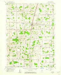 1958 La Paz1960 Print · USGSNorthern Indiana's rural landscape is captured here in the late fifties, centered on the strategic rail crossing at Lapaz Junction. Genealogists and local historians can trace the foundations of the community through sites like Township High Sch, Fairmount Cem, and the village of Linkville.
 - 1972 Map of La Paz, 1974 Print
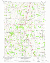 1972 La Paz1974 Print · USGSMarshall County settlement and transit are captured here in the early seventies, centered on the rail hub of La Paz. Researchers can trace family roots through numerous local landmarks like Pine Creek Ch, Mt Zion Cem Ch, and the remote Linkville community.2 unique versions available
 - 1984 Map of Knox, 1985 Print
 1984 Knox1985 Print · USGSNorthern Indiana's glacial lake country is captured in the mid-eighties, showing a landscape defined by the Kankakee River and major rail lines. Genealogists and historians can trace family ties through lakefront settlements like Lake Maxinkuckee and Bass Lake or the Old Indian Treaty Boundary.2 unique versions available
 - 2010 Map of La Paz, 2010 Print
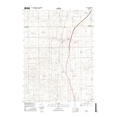
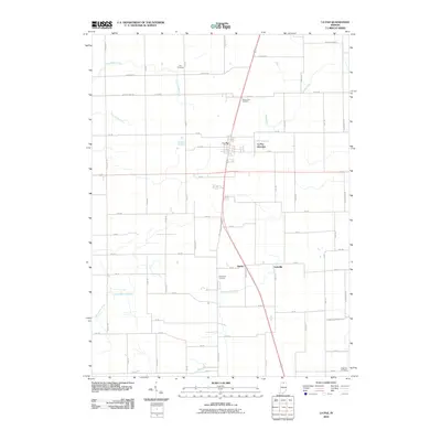 2010 La Paz2010 Print · USGSCovers La Paz Junction, including La Paz, Linkville, and other nearby areas
 - 2013 Map of La Paz, 2013 Print
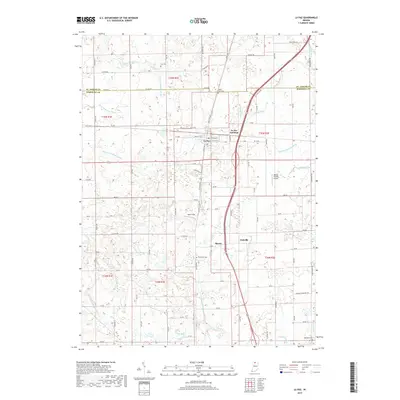
 2013 La Paz2013 Print · USGSCovers La Paz Junction, including La Paz, Linkville, and other nearby areas
 - 2016 Map of La Paz, 2016 Print
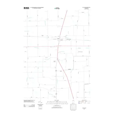
 2016 La Paz2016 Print · USGSCovers La Paz Junction, including La Paz, Linkville, and other nearby areas
 - 2019 Map of La Paz, 2019 Print
 2019 La Paz2019 Print · USGSCovers La Paz Junction, including La Paz, Linkville, and other nearby areas
 - 2022 Map of La Paz, 2022 Print
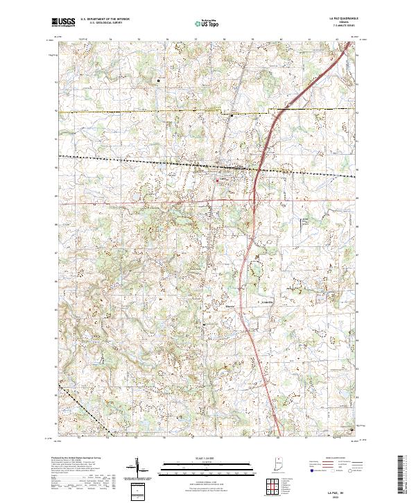 2022 La Paz2022 Print · USGSThe borderlands of St. Joseph and Marshall Counties come into focus in the early 2020s, showing a landscape shaped by rural industry. Researchers can trace family history at Fairmount Cem or explore the rail-and-road heritage near La Paz Junction and Linkville.
End of results
Showing maps 1-10 of 10
Top cities near La Paz Junction
- South Bend historical maps
- Mishawaka historical maps
- Plymouth historical maps
- Bremen historical maps
- Osceola historical maps
- Walkerton historical maps
See more
Frequently asked questions
- What are the different types of historical maps available for La Paz Junction?
- What is the oldest map of La Paz Junction?
- Where can I purchase historical maps of La Paz Junction for my home or office?
- Where can I download high-res historical maps of La Paz Junction?
- Are there historical topographic maps available for La Paz Junction?
- Is there historical aerial imagery available for La Paz Junction?
- Where are historical maps of La Paz Junction sourced from?