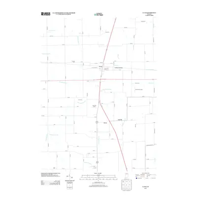
2013 Map of La Paz
USGS Topo · Published 2013About this map
La Paz serves as the central hub of this northern Marshall County landscape, situated where local routes like Walnut St and Center St converge. The area's agricultural identity is clearly defined by named properties such as Davenport Farms, Cashen Farms, and Angus Farm, interspersed with small residential pockets like Highway Acres. This 2013 survey illustrates a complex water management system essential for the region's farming, featuring a dense network of drainage channels including the Lehman Ditch, William Forsythe Ditch, and Sherman Emmons Ditch.
Find a feature on this map
79 named features on this map. Tap any name to fly to it.
Don’t see what you’re looking for? This feature index may not catch every label — zoom into the map to look around manually.
Map Details
Editions of this 2013 La Paz Map
This is the sole edition of this map. No revisions or reprints were ever made.
Other maps of this area

1953 · Chicago
USGS Topo · 1:250,000

1957 · Chicago
USGS Topo · 1:250,000

1957 · Inwood
USGS Topo · 1:24,000

1957 · Plymouth
USGS Topo · 1:24,000

1958 · Donaldson
USGS Topo · 1:24,000

1958 · Bremen
USGS Topo · 1:24,000

1958 · La Paz
USGS Topo · 1:24,000

1958 · Walkerton
USGS Topo · 1:24,000

1958 · North Liberty
USGS Topo · 1:24,000

1958 · Lakeville
USGS Topo · 1:24,000