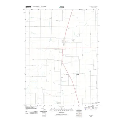
2010 Map of La Paz
USGS Topo · Published 2010About this map
La Paz serves as the central hub of this Marshall County landscape, where the intersection of north-south and east-west transit routes defines the local geography. The area is characterized by a sophisticated network of agricultural drainage, including the Oliver Heckman Ditch, Jesse-McKesson Ditch, and Lehman Ditch, which manage the low-lying terrain surrounding Yellow Bank Creek. These engineered waterways, often bearing family names like the Elmer Seltenright Ditch or Emma Mishler Ditch, illustrate the long-term human effort to reclaim and maintain productive Indiana farmland.
Find a feature on this map
57 named features on this map. Tap any name to fly to it.
Don’t see what you’re looking for? This feature index may not catch every label — zoom into the map to look around manually.
Map Details
Editions of this 2010 La Paz Map
This is the sole edition of this map. No revisions or reprints were ever made.
Other maps of this area

1953 · Chicago
USGS Topo · 1:250,000

1957 · Chicago
USGS Topo · 1:250,000

1957 · Inwood
USGS Topo · 1:24,000

1957 · Plymouth
USGS Topo · 1:24,000

1958 · Donaldson
USGS Topo · 1:24,000

1958 · Bremen
USGS Topo · 1:24,000

1958 · La Paz
USGS Topo · 1:24,000

1958 · Walkerton
USGS Topo · 1:24,000

1958 · North Liberty
USGS Topo · 1:24,000

1958 · Lakeville
USGS Topo · 1:24,000