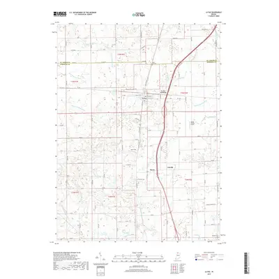
2019 Map of La Paz
USGS Topo · Published 2019About this map
The town of La Paz serves as the central hub of this northern Indiana landscape, where the intersection of Dixie Hwy and the rail corridors at La Paz Junction anchor the local geography. The area is defined by an intricate network of drainage ditches that speak to the agricultural engineering of Marshall County, including the Jesse McKesson Ditch and Emma Mishler Ditch. These waterways weave through a patchwork of rural homesteads and smaller settlements such as Harris and Linkville. Local history is preserved in several burial grounds like Fairmount Cem and Mount Zion Cem, which are scattered among the section lines. The presence of Birkey Private Airport and Sherk Field indicates a reliance on small-scale aviation within this farming community, while the St. Joseph Co line marks the northern boundary of the survey.
Find a feature on this map
84 named features on this map. Tap any name to fly to it.
Don’t see what you’re looking for? This feature index may not catch every label — zoom into the map to look around manually.
Map Details
Editions of this 2019 La Paz Map
This is the sole edition of this map. No revisions or reprints were ever made.
Other maps of this area

1953 · Chicago
USGS Topo · 1:250,000

1957 · Chicago
USGS Topo · 1:250,000

1957 · Inwood
USGS Topo · 1:24,000

1957 · Plymouth
USGS Topo · 1:24,000

1958 · Donaldson
USGS Topo · 1:24,000

1958 · Bremen
USGS Topo · 1:24,000

1958 · La Paz
USGS Topo · 1:24,000

1958 · Walkerton
USGS Topo · 1:24,000

1958 · North Liberty
USGS Topo · 1:24,000

1958 · Lakeville
USGS Topo · 1:24,000