Old Maps of Elmdale, Indiana for Metal Detecting
Plan your next treasure hunt with 11 historic maps of Elmdale. Find old homesites, ghost towns, trails, and gathering spots that may be lost to time — perfect for identifying promising metal detecting locations.
- Locate forgotten sites: Uncover places like long-lost settlements, abandoned rail lines, or gathering spots.
- Plan better hunts: Use map overlays combined with LiDAR or satellite views to narrow in on historically rich areas.
- Made for detectorists: Thousands of hobbyists use these maps to discover relics, coins, and hidden history.
Use these historic maps to boost your research and find new opportunities beneath the surface of Elmdale.
Elmdale, IN maps
(11)- 1953 Map of Danville, 1965 Print
 1953 Danville1965 Print · USGSIndiana and Illinois crossroads come to life in this mid-century survey as the interstate era begins to reshape the river-and-rail landscape. Genealogists and collectors can trace the historic paths of the Nickel Plate railroad or locate smaller communities like Veedersburg, Goodland, and Bismarck.3 unique versions available
 - 1955 Map of Danville
 1955 Danville1955 Print · USGSThe Indiana-Illinois borderlands during the mid-fifties reveal a landscape of thriving rail hubs and university towns. Researchers can trace the legacy of Purdue University, the Tippecanoe Battlefield, and the path of the Pennsylvania RR.
 - 1956 Map of Danville
 1956 Danville1956 Print · USGSMid-century Indiana and Illinois are captured here as the river-and-rail economy evolved into the modern highway era. Researchers can trace ancestral roots and old transport lines through Logansport, Battle Ground, and the dams at Lake Shafer.
 - 1962 Map of Wingate, 1964 Print
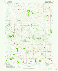 1962 Wingate1964 Print · USGSIndiana farmland in the early sixties centers on the rail junction at Wingate. Local historians can trace numerous family-named landmarks and rural burial grounds, from Oak Ridge Cem to the Coal Creek Central Sch.2 unique versions available
 - 1984 Map of Danville, 1985 Print
 1984 Danville1985 Print · USGSEastern Illinois and western Indiana meet here in the mid-1980s, centered on the river forks and rail lines surrounding the industrial hub of Danville. Researchers can trace old transport routes and rural landmarks like Rossville Junction, Hope Ch, and the Univ of Ill Radio Telescope.
 - 1987 Map of Danville, 1994 Print
 1987 Danville1994 Print · USGSThe Illinois-Indiana borderlands thrived in the 1980s as a crossroads of rail commerce and river-fed agriculture. Genealogists and historians can trace the foundations of Danville and Covington while locating landmarks like Spring Hill Cemetery or the Vermilion County Courthouse.
 - 2010 Map of Wingate, 2010 Print
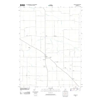 2010 Wingate2010 Print · USGSIndiana's fertile agricultural plains near the Montgomery County line are shown here as they appeared in 2010. Researchers can trace family history through numerous burial grounds like Old Turkey Run Cemetery or locate rural airstrips like Babcocks Airport.
 - 2013 Map of Wingate, 2013 Print
 2013 Wingate2013 Print · USGSMontgomery County farmland in the early twenty-first century remains defined by its historic grid and prairie drainage systems. Researchers can trace the layout of the Wingate and Elmdale settlements alongside rural waterways like Turkey Run and Joseph Ludlow Ditch.
 - 2016 Map of Wingate, 2016 Print
 2016 Wingate2016 Print · USGSThe intersection of Montgomery, Fountain, and Tippecanoe Counties is captured here in the mid-2010s, centered on the historic rural hub of Wingate. Local historians can trace dozens of family burial sites like Meharry Cem and Sugar Grove Cem along the banks of Turkey Run.
 - 2019 Map of Wingate, 2019 Print
 2019 Wingate2019 Print · USGSThe rural borderlands of Montgomery, Fountain, and Tippecanoe counties come into focus in this recent survey. Researchers can locate numerous family burial sites and rural landmarks, including Pleasant Hill Cem, Elmdale, and the winding path of Big Shawnee Cr.
 - 2022 Map of Wingate, 2022 Print
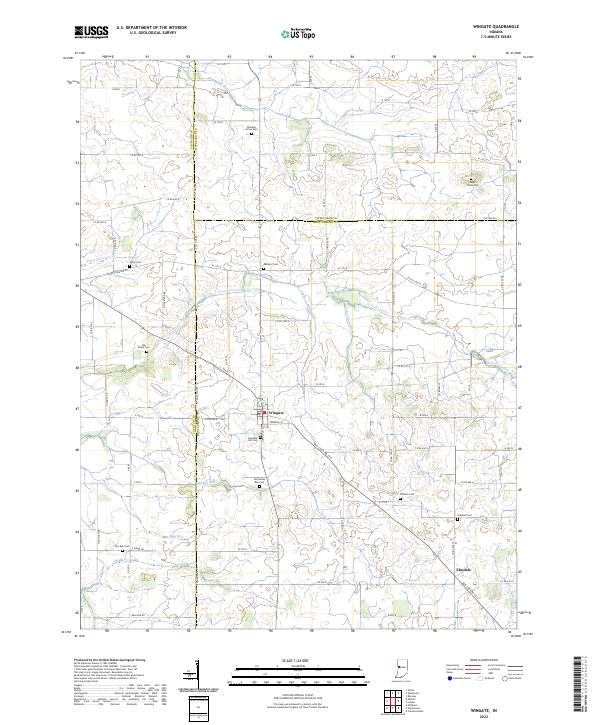 2022 Wingate2022 Print · USGSWingate and Elmdale anchor this Indiana rural landscape at the crossroads of Fountain, Montgomery, and Tippecanoe counties. Genealogists can trace family roots through numerous burial sites like Meharry Cem, Sugar Grove Cem, and Oakland Cem.
End of results
Showing maps 1-11 of 11
Top cities near Elmdale
- Lafayette historical maps
- Crawfordsville historical maps
- Attica historical maps
- Veedersburg historical maps
- Shadeland historical maps
- Ladoga historical maps
See more
Frequently asked questions
- What are the different types of historical maps available for Elmdale?
- What is the oldest map of Elmdale?
- Where can I purchase historical maps of Elmdale for my home or office?
- Where can I download high-res historical maps of Elmdale?
- Are there historical topographic maps available for Elmdale?
- Is there historical aerial imagery available for Elmdale?
- Where are historical maps of Elmdale sourced from?