2020s Maps of Randolph County, Indiana
Explore 12 historic maps of Randolph County from the 2020s. These maps offer a rare glimpse into what life looked like during the 2020s — showing old roads, neighborhoods, homes, and landmarks that have changed or disappeared over time.
Whether you're researching your family's past, planning a metal detecting trip, or studying how Randolph County's landscape evolved across the 2020s, these high-resolution maps are a powerful tool for exploring the history of this region.
- Focus on a specific era: All maps on this page are from the 2020s, giving you a focused view of this time period.
- See what’s changed: Compare century-old streets, trails, and buildings to today's modern landscape using overlays and satellite layers.
- Research with precision: Use these maps for genealogy, historical research, land use analysis, or educational projects.
- View, download, or print: Maps are fully viewable online in high resolution, and can be downloaded or printed for your own records.
Start exploring Randolph County's history through authentic maps from the 2020s. This is your window into the past.
Randolph County, IN maps
(12)- 2022 Map of Redkey, 2022 Print
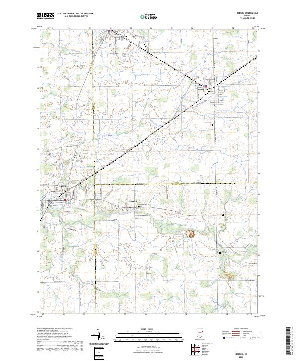 2022 Redkey2022 Print · USGSJay and Delaware counties are documented here in the early 2020s, showing the settled farmland between the Mississinewa River and the towns of Dunkirk and Redkey. Researchers can trace local heritage through several rural cemeteries like Caylor Cem and Cherry Grove Cem.
 - 2022 Map of Lynn, 2022 Print
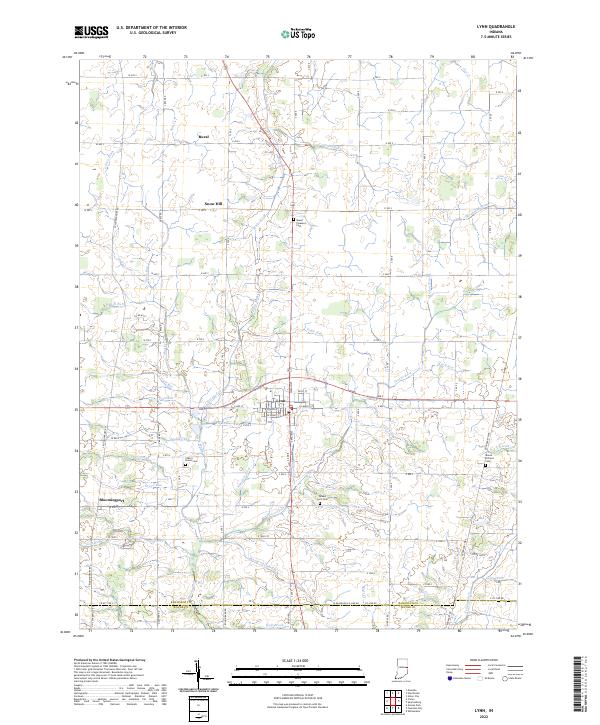 2022 Lynn2022 Print · USGSRandolph County in the early 2020s remains a landscape of quiet crossroads and historic farmsteads anchored by the town of Lynn. Researchers can trace the drainage of the White River headwaters and locate ancestral sites like Quaker Lynn Cem and the settlement of Bloomingport.
 - 2022 Map of Modoc, 2022 Print
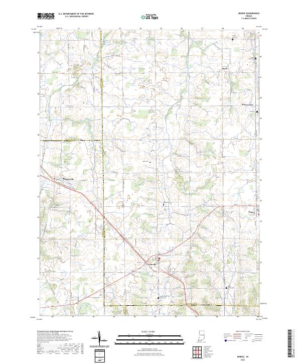 2022 Modoc2022 Print · USGSIndiana's eastern agricultural landscape is captured here during the early twenty-first century, centered on the crossroads of Losantville and Modoc. Researchers can trace local lineage through several burial sites like Nettle Creek Baptist Cem or follow the historic rail-to-trail conversion of the Cardinal Greenway Trl.
 - 2022 Map of Farmland, 2022 Print
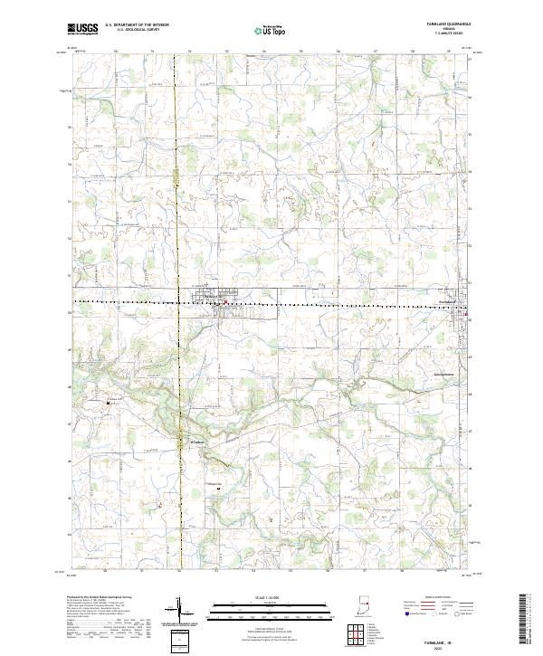 2022 Farmland2022 Print · USGSThis rural Indiana landscape at the Delaware and Randolph county line highlights the agricultural heartland during the early twenty-first century. Genealogists and local historians can trace the positions of Parker City, Windsor, and quiet landmarks like Swingley Cem near the White River.
 - 2022 Map of Deerfield, 2022 Print
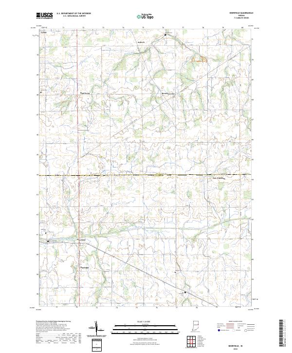 2022 Deerfield2022 Print · USGSThe rural border of Jay and Randolph counties remains a landscape of small crossroads and family cemeteries in the early twenty-first century. Genealogists can trace family names at Old Prospect Cem or locate the quiet hamlets of Deerfield and Boundary City.
 - 2022 Map of Winchester, 2022 Print
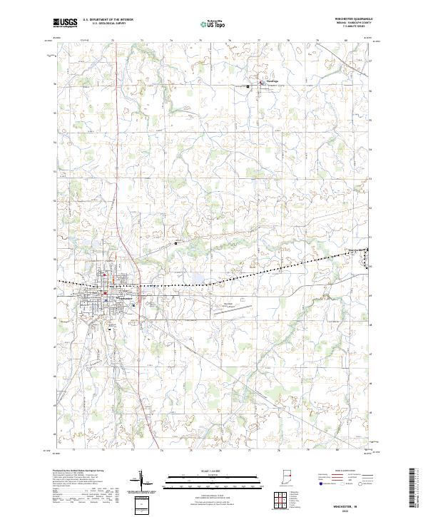 2022 Winchester2022 Print · USGSWinchester and the surrounding Randolph County countryside are captured here in the early twenty-first century as the area maintains its deep agricultural and civic roots. Genealogists and local historians can locate specific family sites near Fountain Park Cem, Moffitt Cem, and the historic Randolph County Courthouse.
 - 2022 Map of Carlos, 2022 Print
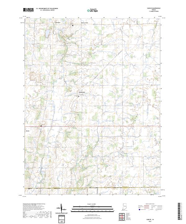 2022 Carlos2022 Print · USGSRandolph County's agricultural heartland is documented here in the early twenty-first century, showing a landscape shaped by both nature and drainage engineering. Researchers can trace ancestral sites at Salem Cem and Huntsville Cem or locate old watercourses like Cabin Cr.
 - 2022 Map of Union City, 2022 Print
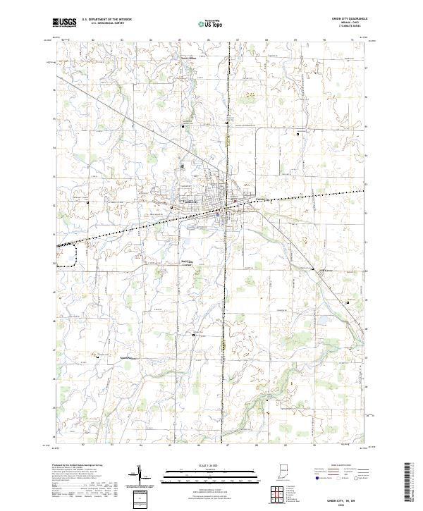 2022 Union City2022 Print · USGSThe Indiana-Ohio border divides this agricultural landscape at the peak of the modern era, centering on the dual-state community of Union City. Researchers can trace deep family roots across numerous burial grounds including Shockney Cem, McFarland Cem, and Hillgrove Cem.
 - 2022 Map of Spartanburg, 2022 Print
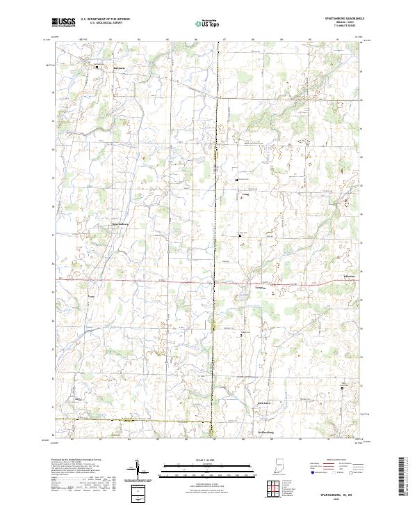 2022 Spartanburg2022 Print · USGSThe Indiana-Ohio borderlands come alive in this contemporary record of Randolph and Darke counties. Genealogists can locate family burial sites at Bartonia Cem and Clemens Cem while tracing the rural hamlets of Spartanburg, Arba, and Palestine.
 - 2022 Map of Ridgeville, 2022 Print
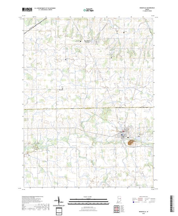 2022 Ridgeville2022 Print · USGSEastern Indiana farming life is centered on Ridgeville and the Mississinewa River in this recent survey. Genealogists can trace several local burial grounds, including Bost Cem, Flesher Cem, and Veterans Cem.
 - 2022 Map of Maxville, 2022 Print
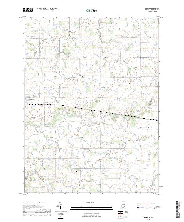 2022 Maxville2022 Print · USGSRandolph County, Indiana, maintains its agricultural character in the 2020s, centered around the historic communities of Farmland and Maxville. Researchers can locate several burial grounds including Mosier Cemetery and Woodlawn Cemetery along the banks of the White River.
 - 2023 Map of Cosmos, 2023 Print
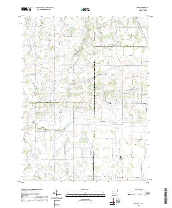 2023 Cosmos2023 Print · USGSDarke County and the Indiana borderlands are captured here in a period of settled agricultural continuity. Genealogists and local historians can trace family plots at Raper Chapel Cem and Mount Zion Cem, or follow the headwaters of the Wabash River and Mississinewa River.
End of results
Showing maps 1-12 of 12
Top cities of Randolph County
- Winchester historical maps
- Union City historical maps
- Farmland historical maps
- Parker City historical maps
- Lynn historical maps
- Ridgeville historical maps
See more
Frequently asked questions
- What are the different types of historical maps available for Randolph County?
- What is the oldest map of Randolph County?
- Where can I purchase historical maps of Randolph County for my home or office?
- Where can I download high-res historical maps of Randolph County?
- Are there historical topographic maps available for Randolph County?
- Is there historical aerial imagery available for Randolph County?
- Where are historical maps of Randolph County sourced from?