2010s Maps of Randolph County, Indiana
Explore 48 historic maps of Randolph County from the 2010s. These maps offer a rare glimpse into what life looked like during the 2010s — showing old roads, neighborhoods, homes, and landmarks that have changed or disappeared over time.
Whether you're researching your family's past, planning a metal detecting trip, or studying how Randolph County's landscape evolved across the 2010s, these high-resolution maps are a powerful tool for exploring the history of this region.
- Focus on a specific era: All maps on this page are from the 2010s, giving you a focused view of this time period.
- See what’s changed: Compare century-old streets, trails, and buildings to today's modern landscape using overlays and satellite layers.
- Research with precision: Use these maps for genealogy, historical research, land use analysis, or educational projects.
- View, download, or print: Maps are fully viewable online in high resolution, and can be downloaded or printed for your own records.
Start exploring Randolph County's history through authentic maps from the 2010s. This is your window into the past.
Randolph County, IN maps
(48)- 2010 Map of Deerfield, 2010 Print
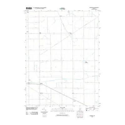 2010 Deerfield2010 Print · USGSEastern Indiana’s farming country is captured here during the first decade of the millennium, showing a landscape shaped by early treaties and rural commerce. Genealogists can locate several family burial grounds, including Kunce Cemetery and Weimer Cemetery, alongside historic hamlets like Boundary City and Deerfield.
 - 2010 Map of Carlos, 2010 Print
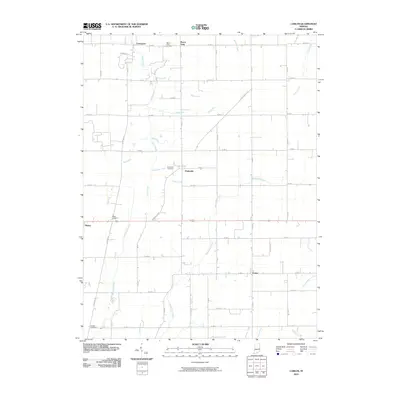 2010 Carlos2010 Print · USGSRandolph County, Indiana, maintains its traditional agricultural character in the early twenty-first century. Genealogists and local historians can trace family ties through Salem Cemetery and the rural settlements of Modoc, Huntsville, and Carlos.
 - 2010 Map of Redkey, 2010 Print
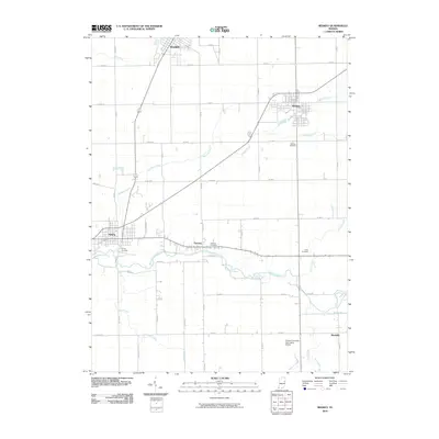 2010 Redkey2010 Print · USGSIndiana's eastern agricultural heartland is documented here at the start of the 2010s. Local researchers can trace family lands near Dunkirk and Redkey, or locate historic sites like Strong Cemetery and the Purdue University Agriculture Station.
 - 2010 Map of Farmland, 2010 Print
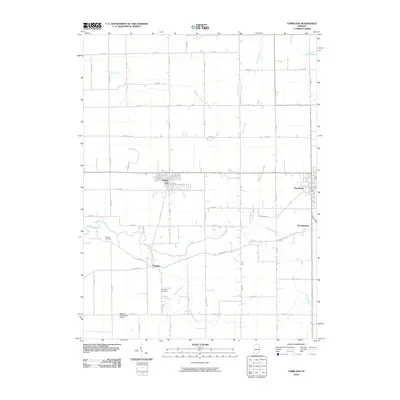 2010 Farmland2010 Print · USGSRandolph County's agricultural heartland is documented here in the early twenty-first century, showing the established towns along the rail-and-road corridor. Genealogists can locate rural burial sites like Swingley Cemetery or trace the course of the White River past Windsor.
 - 2010 Map of Ridgeville, 2010 Print
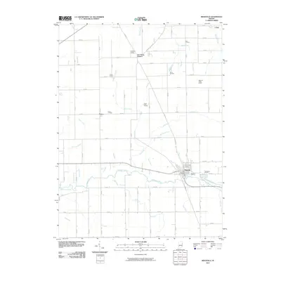 2010 Ridgeville2010 Print · USGSRandolph County's agricultural and river landscape is captured here in the early twenty-first century, centered on the historic town of Ridgeville. Researchers can locate numerous local burial grounds including Flower Point Cemetery and Veterans Cemetery.
 - 2010 Map of Modoc, 2010 Print
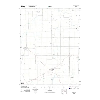 2010 Modoc2010 Print · USGSHenry and Randolph Counties in the early twenty-first century reveal a landscape of crossroads towns and ancestral cemeteries. Genealogists can trace family roots at Riverside Cemetery or Nettle Creek Cemetery and explore the rural outskirts of Losantville and Blountsville.
 - 2010 Map of Maxville, 2010 Print
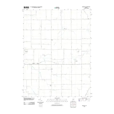 2010 Maxville2010 Print · USGSThis part of Randolph County, Indiana, is captured at the start of the decade, showing a landscape defined by the White River and deep-rooted rural communities. Family historians can locate specific burial sites at Bear Creek Cemetery or trace the environs of the Winchester Speedway.
 - 2010 Map of Winchester, 2010 Print
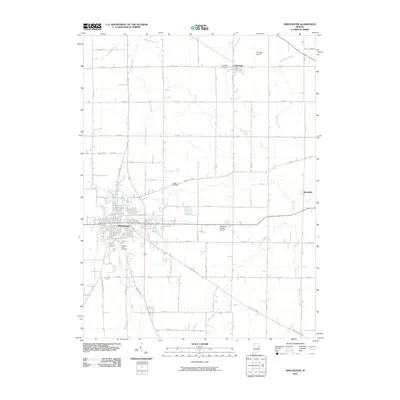 2010 Winchester2010 Print · USGSRandolph County at the start of the 2010s reveals a structured landscape of established townships and historic pikes. Researchers can trace family roots at Fountain Park Cemetery, locate the small village of Harrisville, or follow the winding White River across the county.
 - 2010 Map of Lynn, 2010 Print
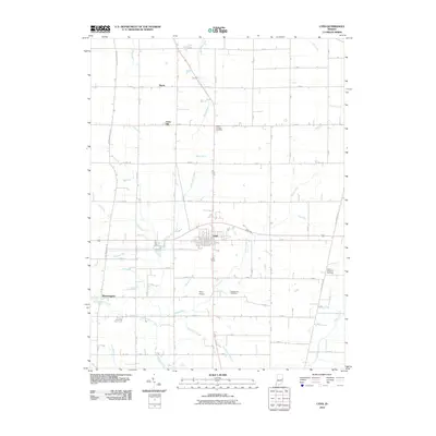 2010 Lynn2010 Print · USGSThe rural landscape of Randolph County is captured here in the early twenty-first century, centered on the crossroads town of Lynn. Genealogists and local historians can locate several burial sites, including Mount Pleasant Cemetery, or trace the winding courses of Snow Run and Greens Fork.
 - 2010 Map of Cosmos, 2010 Print
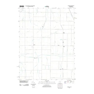 2010 Cosmos2010 Print · USGSThe Indiana-Ohio borderlands at the start of the 21st century reveal a meticulously managed agricultural landscape of rivers and man-made ditches. Local historians can trace the rural communities of Salem and Cosmos or locate family sites at Hoover Cemetery and Raper Chapel.
 - 2010 Map of Spartanburg, 2010 Print
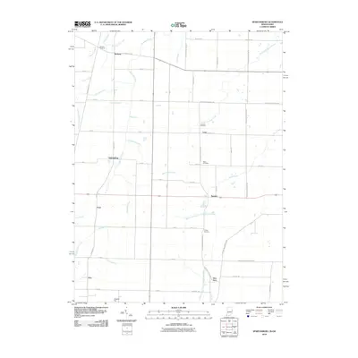 2010 Spartanburg2010 Print · USGSThe Indiana-Ohio state line corridor comes into focus in this recent survey of Randolph and Darke Counties. Genealogists can trace family roots through numerous burial grounds like Chapel Cemetery or locate the rural crossroads of Spartanburg, Glen Karn, and Crete.
 - 2010 Map of Union City, 2010 Print
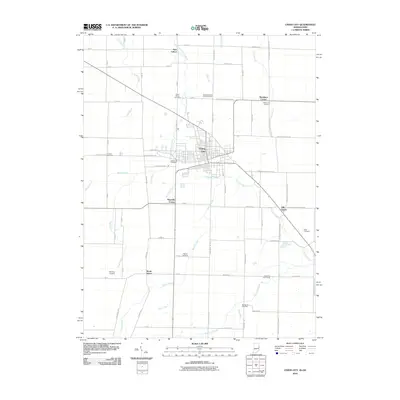 2010 Union City2010 Print · USGSUnion City and its surrounding borderlands are captured here at the start of the 21st century, showing the enduring grid of this bi-state community. Researchers can trace rural lineages through numerous burial sites like Saint Marys Cemetery or locate old community hubs such as South Salem and Haysville Corner.
 - 2013 Map of Union City, 2013 Print
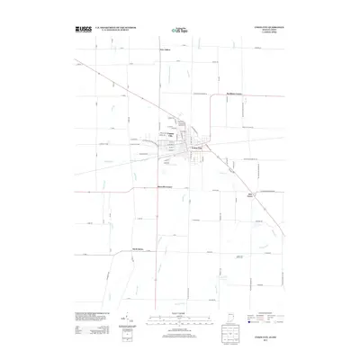 2013 Union City2013 Print · USGSUnion City and its surrounding rural hamlets are documented here in the early 21st century as the community spans the Indiana-Ohio border. Genealogists and local historians can trace family-named crossroads like Buckhorn Corner and Haysville Corner or locate the site of South Salem.
 - 2013 Map of Lynn, 2013 Print
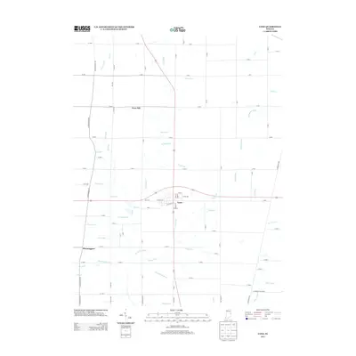 2013 Lynn2013 Print · USGSRandolph County's rural landscape is captured here in the early twenty-first century, centered on the crossroads of Lynn. Local historians can trace the intricate drainage of Greens Fork and the White River alongside old settlements like Bloomingport and Snow Hill.
 - 2013 Map of Deerfield, 2013 Print
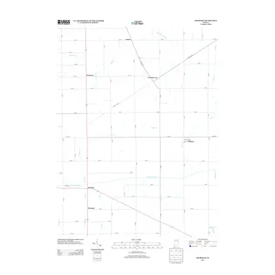 2013 Deerfield2013 Print · USGSThe Indiana countryside near the Ohio border appears in this survey as a network of historic river valleys and small farming hamlets. Genealogists and historians can trace old homestead locations and settlements like Boundary City, New Pittsburg, and Bluff Point along the Mississinewa River.
 - 2013 Map of Winchester, 2013 Print
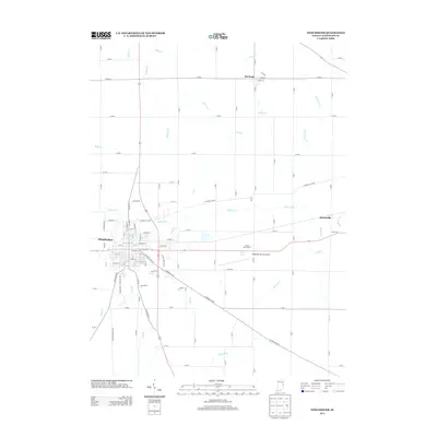 2013 Winchester2013 Print · USGSWinchester and the surrounding Randolph County countryside are documented here in the early 2000s as the local landscape balances traditional agriculture with modern transit. Researchers can trace the paths of the White River and Salt Cr or locate landmarks like the Airline Twin Drive-In and Randolph County Airport.
 - 2013 Map of Spartanburg, 2013 Print
 2013 Spartanburg2013 Print · USGSThe Indiana-Ohio state line passes through this agricultural region just after the turn of the millennium. Genealogists and local historians can trace the quiet crossroads of Spartanburg, Glen Karn, and Arba near the high ground of Hoosier Hill.
 - 2013 Map of Redkey, 2013 Print
 2013 Redkey2013 Print · USGSThe Redkey and Albany areas in the early twenty-first century show a landscape of resilient river towns and crossroads. Genealogists and local historians can trace family locations near Shedville, Fairview, and along the winding Mississinewa River.
 - 2013 Map of Ridgeville, 2013 Print
 2013 Ridgeville2013 Print · USGSThe rural agricultural landscape of Randolph County is captured here in the early twenty-first century, centered on the Mississinewa River. Genealogists and local historians can trace the town layouts of Ridgeville and New Mount Pleasant alongside numerous family-named drainage ways like Heuss Ditch and Uphaus Ditch.
 - 2013 Map of Farmland, 2013 Print
 2013 Farmland2013 Print · USGSRandolph County in the early 2010s shows a landscape of steady agricultural roots and historic river settlements. Genealogists can trace the rural layout around Parker City, Windsor, and Georgetown, or follow the banks of the White River and Stoney Cr.
 - 2013 Map of Carlos, 2013 Print
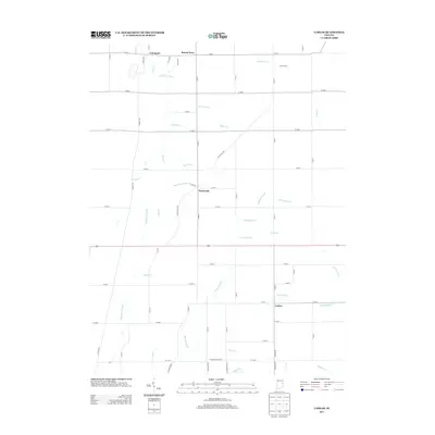 2013 Carlos2013 Print · USGSRandolph County's rural landscape is captured here in the early twenty-first century, showing a network of agricultural communities and family lands. Genealogists and local historians can trace property boundaries near Carlos, Huntsville, and the historic Unionport settlement.
 - 2013 Map of Modoc, 2013 Print
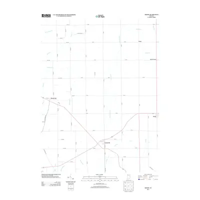 2013 Modoc2013 Print · USGSEastern Indiana's rural crossroads and headwaters are captured here in the early twenty-first century. Researchers can locate family landmarks near Blountsville and Losantville or trace the winding paths of Nettle Cr and the Little White River.
 - 2013 Map of Cosmos, 2013 Print
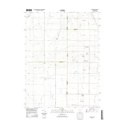 2013 Cosmos2013 Print · USGSThe Indiana-Ohio borderlands come into focus in the early twenty-first century, showing a landscape defined by small farming communities and river drainage. Genealogists and local historians can locate Raper Chapel Cem, the rural crossroads of Salem, and landmarks like Pleasant Hill Speedway.
 - 2014 Map of Maxville, 2014 Print
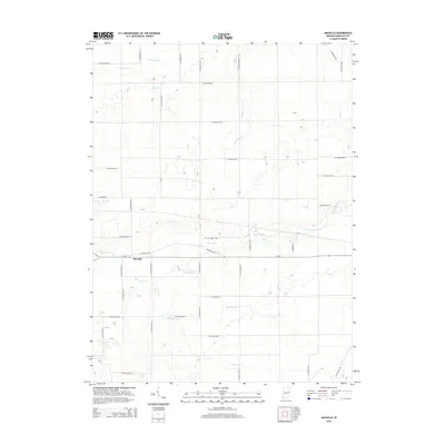 2014 Maxville2014 Print · USGSThe rural landscape of Randolph County is captured here in the early twenty-first century, centered on the settlement of Maxville. Researchers can trace the drainage of the White River and find family-named landmarks like Denton Ditch or Stevens Ditch.
 - 2016 Map of Lynn, 2016 Print
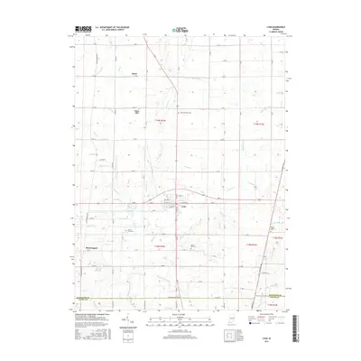 2016 Lynn2016 Print · USGSThe rural landscapes of southern Randolph County are captured here in the mid-2010s, anchored by the community of Lynn. Researchers can trace local lineage through several burial grounds like Quaker Lynn Cem and explore named watercourses such as Nameless River.
Showing maps 1-25 of 48
Top cities of Randolph County
- Winchester historical maps
- Union City historical maps
- Farmland historical maps
- Parker City historical maps
- Lynn historical maps
- Ridgeville historical maps
See more
Frequently asked questions
- What are the different types of historical maps available for Randolph County?
- What is the oldest map of Randolph County?
- Where can I purchase historical maps of Randolph County for my home or office?
- Where can I download high-res historical maps of Randolph County?
- Are there historical topographic maps available for Randolph County?
- Is there historical aerial imagery available for Randolph County?
- Where are historical maps of Randolph County sourced from?