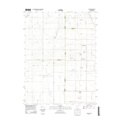
2013 Map of Cosmos
USGS Topo · Published 2013About this map
The Mississinewa River and its many tributaries, including Little Mississinewa River and Mitchell Ditch, define the agricultural landscape of the Indiana-Ohio borderlands. This region is dotted with small rural communities and family-named agricultural operations such as the Vogel Hog Farm, Kirgan Farms, and Timmerman Farm. Local historical interest is anchored by several cemeteries, including Raper Chapel Cem near Cosmos and Hoover Cem along the river.
Find a feature on this map
66 named features on this map. Tap any name to fly to it.
Don’t see what you’re looking for? This feature index may not catch every label — zoom into the map to look around manually.
Map Details
Editions of this 2013 Cosmos Map
This is the sole edition of this map. No revisions or reprints were ever made.
Other maps of this area

1908 · St. Henry
USGS Topo · 1:62,500

1915 · Fort Recovery
USGS Topo · 1:48,000

1916 · Winchester
USGS Topo · 1:48,000

1918 · Winchester
USGS Topo · 1:62,500

1918 · Fort Recovery
USGS Topo · 1:62,500

1943 · Winchester
USGS Topo · 1:62,500

1953 · Muncie
USGS Topo · 1:250,000

1956 · Muncie
USGS Topo · 1:250,000

1960 · Union City
USGS Topo · 1:24,000

1960 · Fort Recovery
USGS Topo · 1:24,000