2020s Maps of Saint Joseph County, Indiana
Explore 20 historic maps of Saint Joseph County from the 2020s. These maps offer a rare glimpse into what life looked like during the 2020s — showing old roads, neighborhoods, homes, and landmarks that have changed or disappeared over time.
Whether you're researching your family's past, planning a metal detecting trip, or studying how Saint Joseph County's landscape evolved across the 2020s, these high-resolution maps are a powerful tool for exploring the history of this region.
- Focus on a specific era: All maps on this page are from the 2020s, giving you a focused view of this time period.
- See what’s changed: Compare century-old streets, trails, and buildings to today's modern landscape using overlays and satellite layers.
- Research with precision: Use these maps for genealogy, historical research, land use analysis, or educational projects.
- View, download, or print: Maps are fully viewable online in high resolution, and can be downloaded or printed for your own records.
Start exploring Saint Joseph County's history through authentic maps from the 2020s. This is your window into the past.
Saint Joseph County, IN maps
(20)- 2022 Map of Nappanee West, 2022 Print
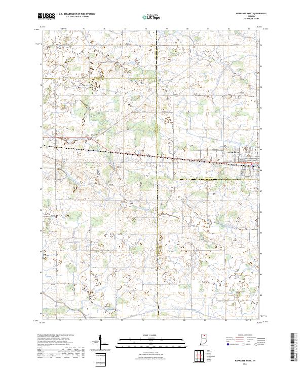 2022 Nappanee West2022 Print · USGSThis part of Indiana where Marshall and Elkhart counties meet was defined by its drainage and railroads in the early twenty-first century. Researchers can trace historic family lands through named features like Sarah Hershberger Ditch and the old settlement of Locke.
 - 2022 Map of Hamlet, 2022 Print
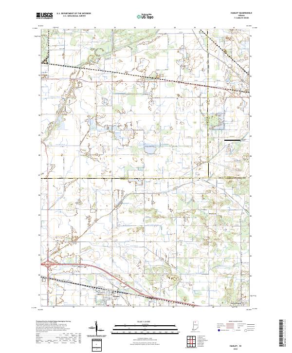 2022 Hamlet2022 Print · USGSThe rail-and-canal landscape of Starke County comes into focus as it appeared in the early twenty-first century. Genealogists and researchers can trace the drainage of the Kankakee marsh through Robbins Ditch and locate family landmarks near Hamlet and Grovertown.
 - 2022 Map of Stillwell, 2022 Print
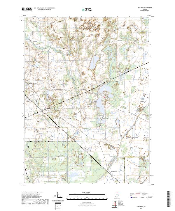 2022 Stillwell2022 Print · USGSLaPorte County, Indiana, is captured here in the early 2020s, showcasing a landscape of drained lowlands and rural townships. Genealogists and local researchers can trace family lands near the settlements of Stillwell and Hamlet or along the banks of Mill Creek.
 - 2022 Map of La Paz, 2022 Print
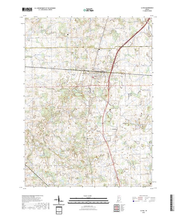 2022 La Paz2022 Print · USGSThe borderlands of St. Joseph and Marshall Counties come into focus in the early 2020s, showing a landscape shaped by rural industry. Researchers can trace family history at Fairmount Cem or explore the rail-and-road heritage near La Paz Junction and Linkville.
 - 2022 Map of Walkerton, 2022 Print
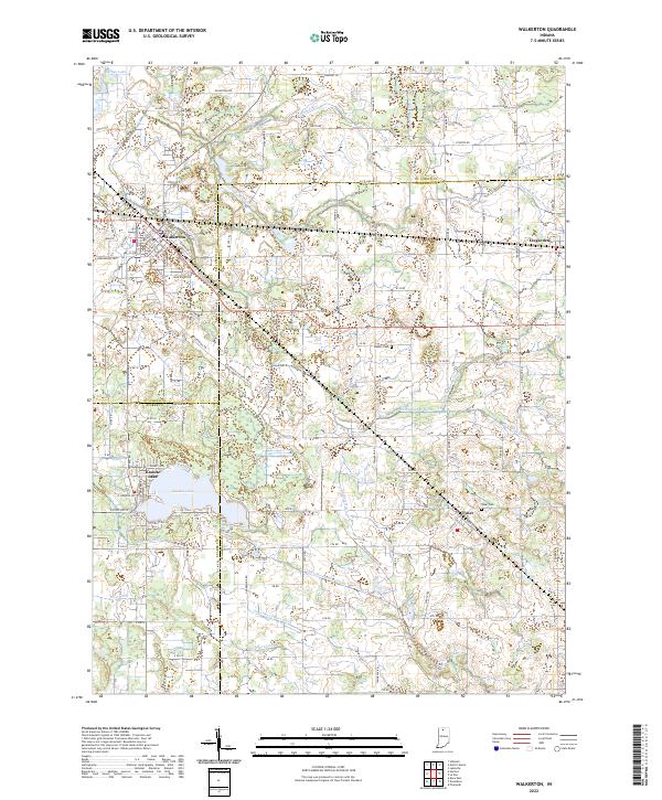 2022 Walkerton2022 Print · USGSThe crossroads of St. Joseph and Marshall Counties come alive in this contemporary look at the area's agricultural and township layout. Researchers can trace family history through Tyner Cem and Barber Cem or locate old property lines near Walkerton and Koontz Lake.
 - 2022 Map of Wakarusa, 2022 Print
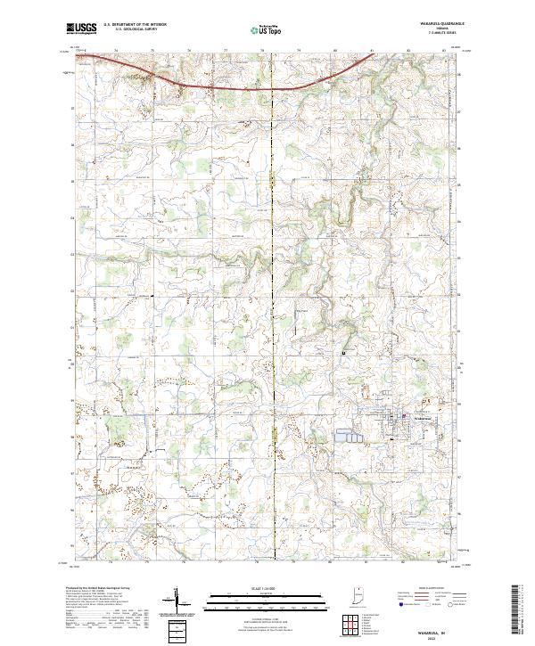 2022 Wakarusa2022 Print · USGSWakarusa and the rural border between Elkhart and St. Joseph Counties are shown here during the early 2020s. Genealogists can locate family landmarks like Pletcher Cem and Shutts Cem or trace the extensive drainage network of Baugo Creek.
 - 2022 Map of Wyatt, 2022 Print
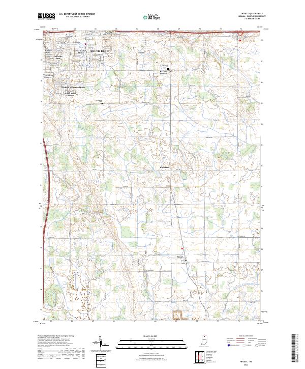 2022 Wyatt2022 Print · USGSThe southern outskirts of South Bend transition into the fertile farm country of St. Joseph County in the early 2020s. Researchers can trace family history at the Van Buskirk Cem or explore the rural layout of Woodland and Wyatt amidst a complex network of drainage ditches.
 - 2022 Map of Osceola, 2022 Print
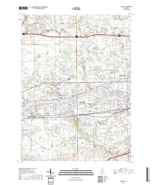 2022 Osceola2022 Print · USGSNorthern Indiana's urban corridor between Mishawaka and Elkhart is captured here in the early 2000s as residential growth fills the river valley. Trace local history at Carlton Cem, the winding Baugo Creek, or the small settlement of Osceola.
 - 2022 Map of Bremen, 2022 Print
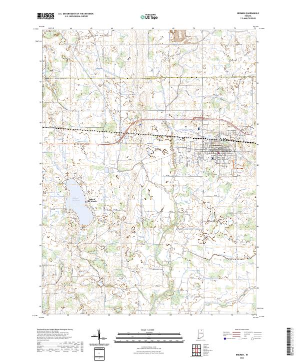 2022 Bremen2022 Print · USGSBremen and the surrounding Marshall County farmlands are captured in this recent survey, showcasing a landscape defined by industrial agriculture and rural life. Researchers can trace family-named waterworks like the August Mentzel Ditch or explore the shores of Lake of the Woods.
 - 2022 Map of Lakeville, 2022 Print
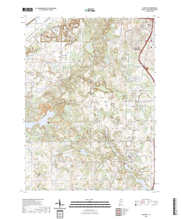 2022 Lakeville2022 Print · USGSSouth of South Bend in the early 2020s, this landscape transitions from suburban developments to the protected wetlands of the Kankakee outwash plain. Researchers can trace family history through several burial grounds like Sumption Prairie Cem or explore the extensive trail system of Potato Creek State Park.
 - 2022 Map of New Carlisle, 2022 Print
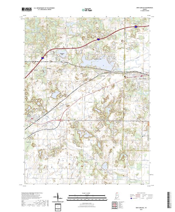 2022 New Carlisle2022 Print · USGSCrossing the line between La Porte and St. Joseph counties in the early twenty-first century, this map documents a landscape of glacial lakes and small prairie settlements. Researchers can locate several burial sites including Olive Chapel Cem and Teeter Cem, while tracing the shores of Hudson Lake and Pottawattomie Lake.
 - 2022 Map of Lydick, 2022 Print
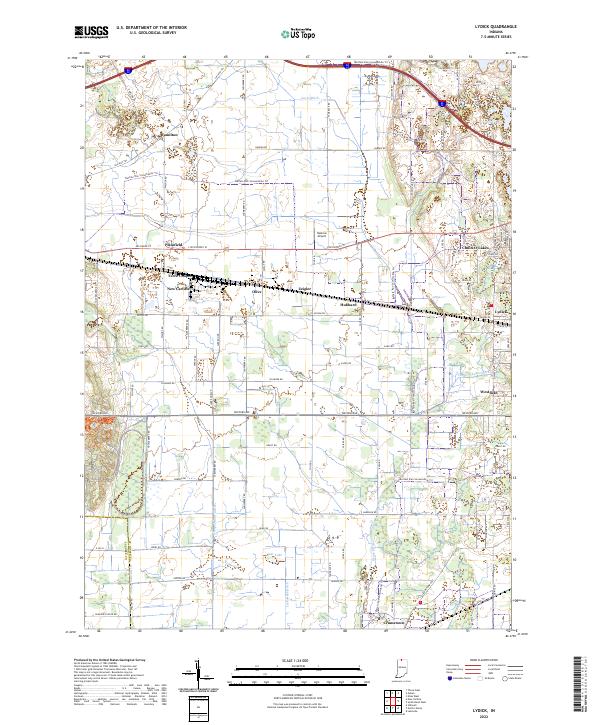 2022 Lydick2022 Print · USGSSt. Joseph County near the Indiana-Michigan border shows a landscape of historic townships and modern recreation in this recent survey. Genealogists and local historians can trace small communities like Lydick, Crumstown, and Terre Coupee alongside the Twin Lakes shoreline.
 - 2022 Map of South Bend West, 2022 Print
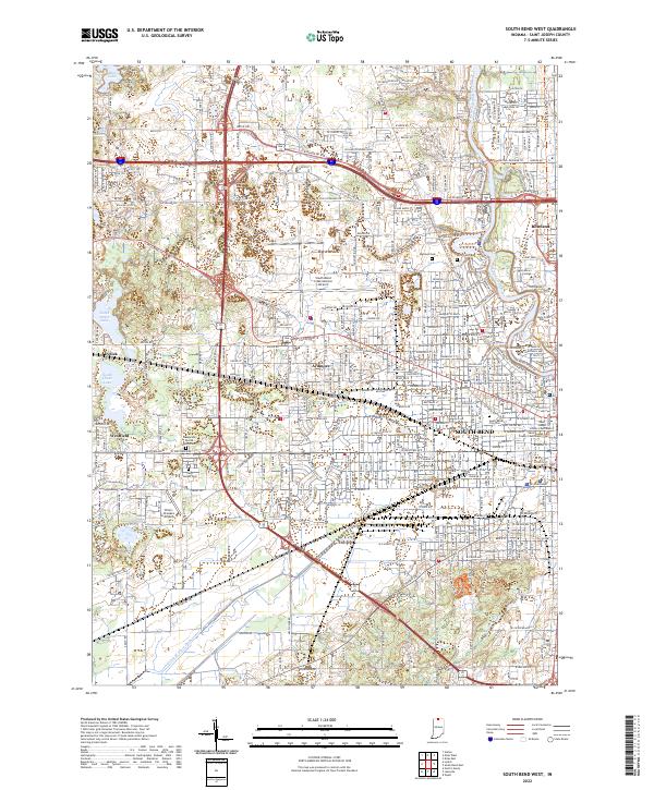 2022 South Bend West2022 Print · USGSThe western edges of South Bend and the St. Joseph River corridor are captured here during the early 2020s. Researchers can trace the layout of the city's civic heart at the Saint Joseph County Courthouse or locate family plots at Riverview Cem and Saint Joseph Cem.
 - 2022 Map of South Bend East, 2022 Print
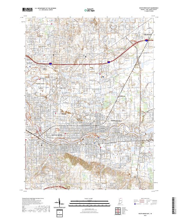 2022 South Bend East2022 Print · USGSSt. Joseph County's urban corridor is captured here at a modern peak of development along the Saint Joseph River. Genealogists and historians can trace local roots through numerous sites like Stuckey Cem, Cedar Grove Cem, and the neighborhoods of Indian Village and Maple Lane.
 - 2022 Map of North Liberty, 2022 Print
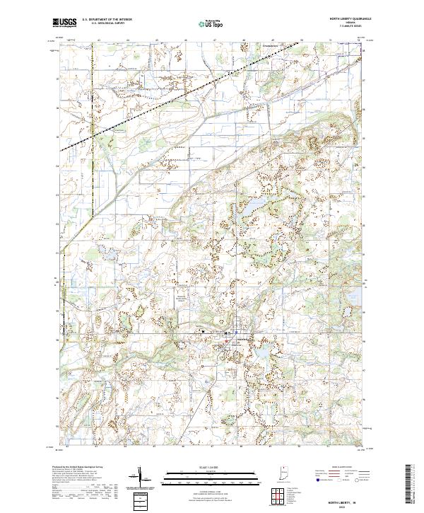 2022 North Liberty2022 Print · USGSThe northern Indiana borderlands near North Liberty are shown here in the early twenty-first century, defined by the Kankakee River and its managed drainage. Researchers can trace local heritage through Westlawn Cem or explore the vast recreation grounds of Potato Creek State Park.
 - 2023 Map of Niles East, 2023 Print
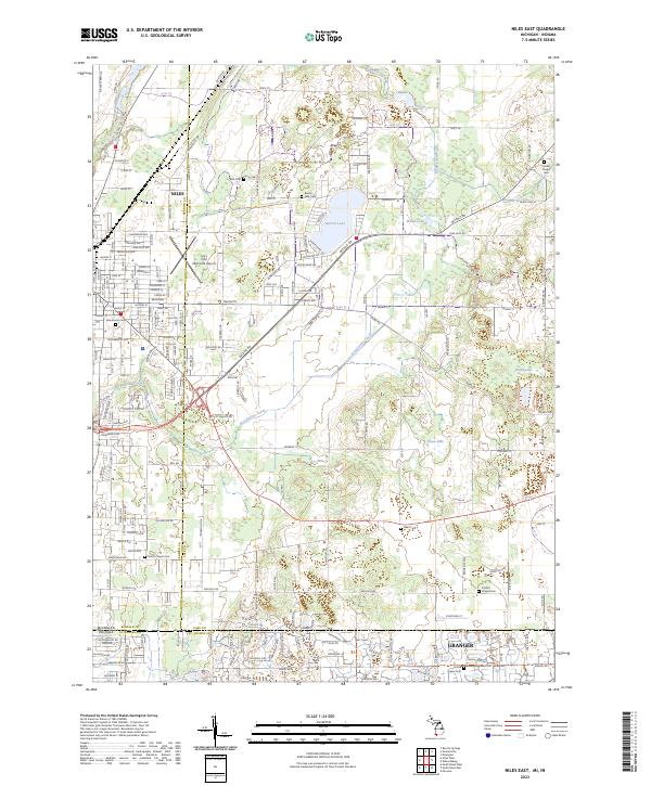 2023 Niles East2023 Print · USGSThe Michigan-Indiana borderlands near Niles and Granger are captured here in the early twenty-first century. Genealogists can trace family sites across many local burial grounds, including Smith's Chapel Cem, Silverbrook Cem, and Harris Prairie Cem.
 - 2023 Map of Galien, 2023 Print
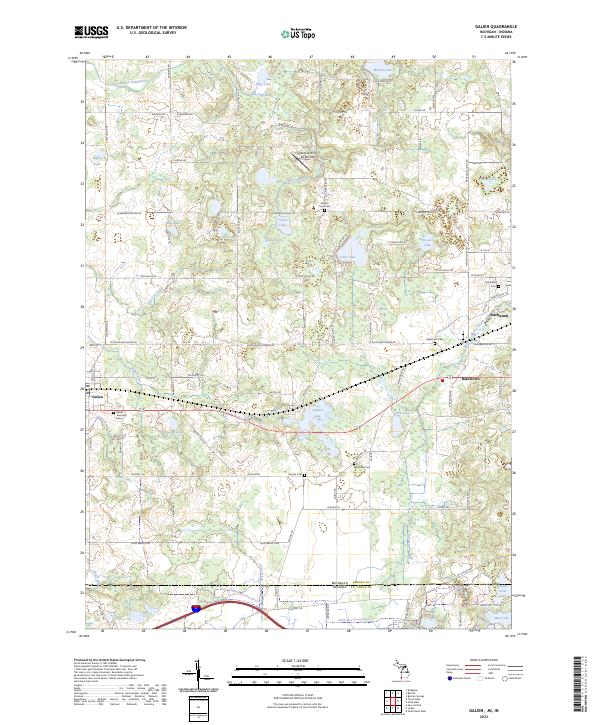 2023 Galien2023 Print · USGSTracing the border of Michigan and Indiana, this 2023 survey captures the rural character and glacial lake network of Berrien County. Researchers can locate family landmarks and burial sites such as Bakertown Cem, McGowan Cem, and the Landing Strip De Rey Rey.
 - 2023 Map of Edwardsburg, 2023 Print
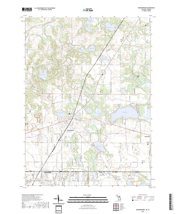 2023 Edwardsburg2023 Print · USGSEdwardsburg and the lake country of Cass County are shown here as they appeared recently, straddling the Michigan-Indiana border. Researchers can trace local lineage through several rural burial grounds, including Gods Half Acre Cem, Rodgers Cem, and Adamsville Cem.
 - 2023 Map of Three Oaks, 2023 Print
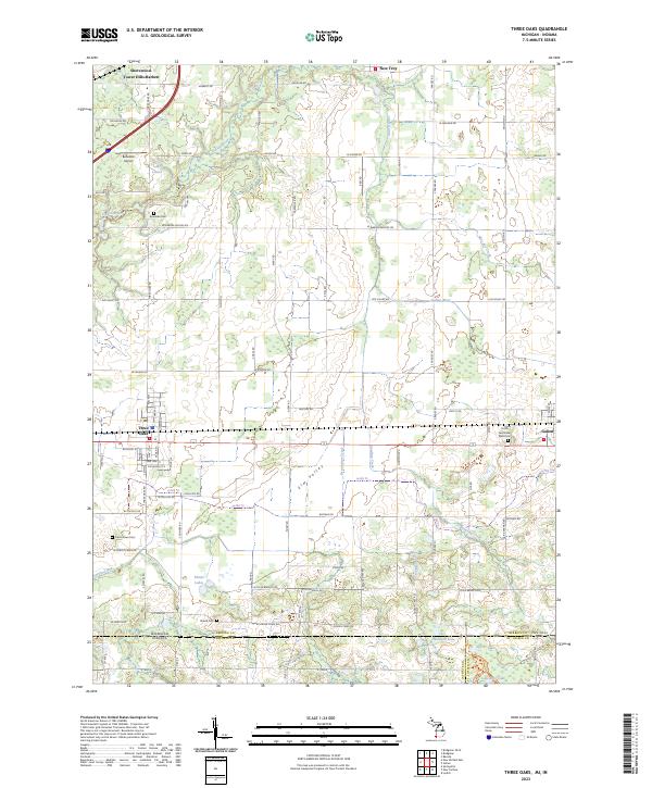 2023 Three Oaks2023 Print · USGSBerrien County and the Michigan-Indiana borderlands are captured here in the contemporary era, showing the enduring layout of rural townships and villages. Genealogists can locate family sites at Smith Germinder Ward Cem or Shedd Cem, and trace the path of CSX TRANSPORTATION rail through Three Oaks.
 - 2023 Map of Niles West, 2023 Print
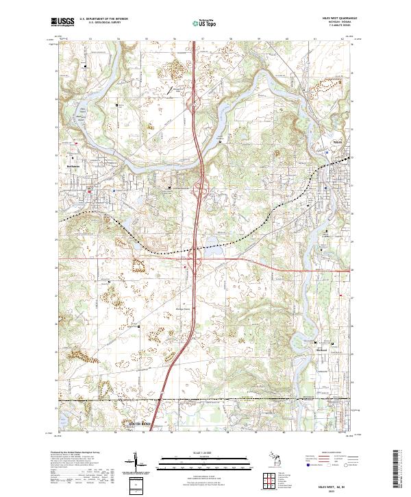 2023 Niles West2023 Print · USGSThe Michigan-Indiana border comes alive in this 2023 survey of the river country between Buchanan and Niles. Researchers can trace local history through numerous burial sites like Portage Prairie Cem and the Father Allouez Grave Site.
End of results
Showing maps 1-20 of 20
Top cities of Saint Joseph County
- South Bend historical maps
- Mishawaka historical maps
- Granger historical maps
- Notre Dame historical maps
- Olive historical maps
- Osceola historical maps
See more
Frequently asked questions
- What are the different types of historical maps available for Saint Joseph County?
- What is the oldest map of Saint Joseph County?
- Where can I purchase historical maps of Saint Joseph County for my home or office?
- Where can I download high-res historical maps of Saint Joseph County?
- Are there historical topographic maps available for Saint Joseph County?
- Is there historical aerial imagery available for Saint Joseph County?
- Where are historical maps of Saint Joseph County sourced from?