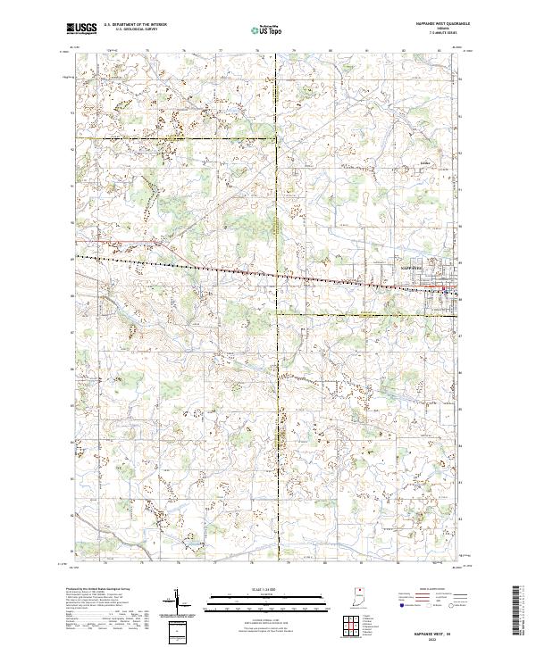
2022 Map of Nappanee West
USGS Topo · Published 2022About this map
Nappanee and the older settlement of Locke serve as the primary hubs in this landscape where four Indiana counties converge. The drainage patterns of northern Indiana are clearly visible through an extensive network of named waterways, including the Middle Fork Yellow River and Baugo Creek. These natural features are heavily modified by a complex system of agricultural drainage ditches, many bearing family names such as Sarah Hershberger Ditch, Walter Wisler Ditch, and the Fisher-Gordon Ditch.
Find a feature on this map
98 named features on this map. Tap any name to fly to it.
Don’t see what you’re looking for? This feature index may not catch every label — zoom into the map to look around manually.
Map Details
Editions of this 2022 Nappanee West Map
This is the sole edition of this map. No revisions or reprints were ever made.
Other maps of this area

1953 · Fort Wayne
USGS Topo · 1:250,000

1953 · Chicago
USGS Topo · 1:250,000

1956 · Fort Wayne
USGS Topo · 1:250,000

1957 · Chicago
USGS Topo · 1:250,000

1957 · Inwood
USGS Topo · 1:24,000

1958 · Bremen
USGS Topo · 1:24,000

1958 · Nappanee West
USGS Topo · 1:24,000

1958 · Nappanee East
USGS Topo · 1:24,000

1958 · Bourbon
USGS Topo · 1:24,000

1959 · Atwood
USGS Topo · 1:24,000