Old Maps of Pine Station, Indiana for Genealogy
Trace your family roots with 10 historic maps of Pine Station. These high-res maps reveal old neighborhoods, homesites, landmarks, and streets — helping you uncover where your ancestors lived and how the area evolved over time.
- Explore historic neighborhoods: Identify where your relatives may have lived in the 1800s or 1900s.
- Compare maps over time: Trace the changes in streets, buildings, and landmarks for multi-generational research.
- Perfect for genealogy & ancestry research: Used by family historians and researchers to map out lineage and migration.
These maps are an incredible resource for exploring your personal connection to Pine Station's past.
Pine Station, IN maps
(10)- 1953 Map of Chicago, 1964 Print
 1953 Chicago1964 Print · USGSThe southern Lake Michigan shoreline was rapidly modernizing in the mid-fifties, balancing heavy industry with its famous academic centers. Researchers can trace the footprints of Notre Dame University or locate vanished sites like the Kingsbury Ordnance Plant and Meigs Field.5 unique versions available
 - 1957 Map of Chicago
 1957 Chicago1957 Print · USGSThe industrial heartland and southern Great Lakes shoreline are captured here during the peak of mid-century growth. Researchers can trace the massive Gary Steel Works, the grounds of the University of Notre Dame, and the early paths of the Tri-State Tollway.
 - 1958 Map of Lakeville, 1964 Print
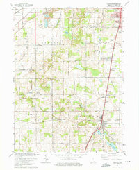
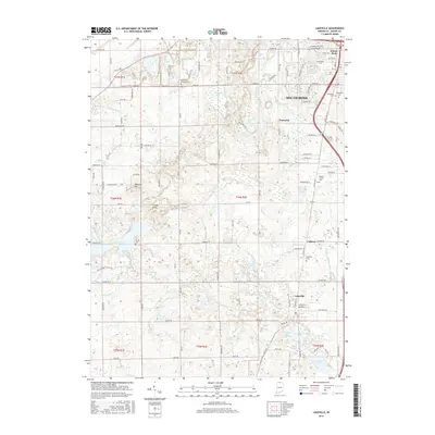
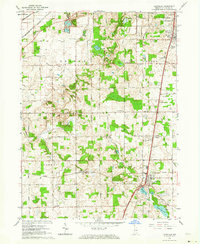 1958 Lakeville1964 Print · USGSLakeville and south-central St. Joseph County are shown in the late fifties as a bustling intersection of rail lines and rural townships. Genealogists and historians can locate family plots at Southlawn Cem or trace the path of the Pennsylvania Railroad through Pine Station.
 - 1974 Map of Lakeville, 1975 Print
 1974 Lakeville1975 Print · USGSSt. Joseph County south of South Bend shows a landscape of expanding recreation and transit in the mid-seventies. Genealogists and local historians can trace the Old Indian Treaty Boundary or locate family roots near Lakeville and Sumption Prairie Cem.2 unique versions available
 - 1983 Map of South Bend, 1984 Print
 1983 South Bend1984 Print · USGSThe Indiana-Michigan borderlands come alive in this early 1980s overview of the Michiana region's industrial and academic hubs. Researchers can trace the rail networks of Conrail and the Grand Trunk Western alongside landmarks like the University of Notre Dame and Indiana Dunes State Park.2 unique versions available
 - 2010 Map of Lakeville, 2010 Print
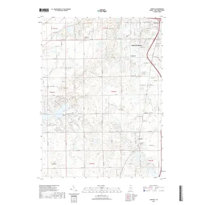
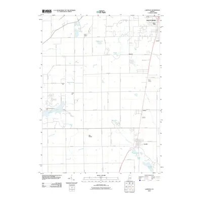 2010 Lakeville2010 Print · USGSCovers Pine Station, including South Bend, Lakeville, and other nearby areas
 - 2013 Map of Lakeville, 2013 Print
 2013 Lakeville2013 Print · USGSCovers Pine Station, including South Bend, Lakeville, and other nearby areas
 - 2016 Map of Lakeville, 2016 Print
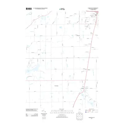
 2016 Lakeville2016 Print · USGSCovers Pine Station, including South Bend, Lakeville, and other nearby areas
 - 2019 Map of Lakeville, 2019 Print
 2019 Lakeville2019 Print · USGSCovers Pine Station, including South Bend, Lakeville, and other nearby areas
 - 2022 Map of Lakeville, 2022 Print
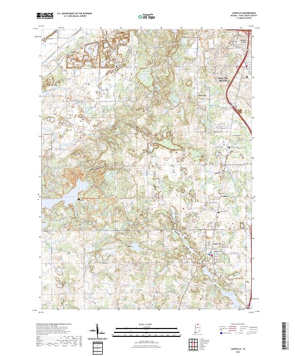 2022 Lakeville2022 Print · USGSSouth of South Bend in the early 2020s, this landscape transitions from suburban developments to the protected wetlands of the Kankakee outwash plain. Researchers can trace family history through several burial grounds like Sumption Prairie Cem or explore the extensive trail system of Potato Creek State Park.
End of results
Showing maps 1-10 of 10
Top cities near Pine Station
- South Bend historical maps
- Mishawaka historical maps
- Plymouth historical maps
- Notre Dame historical maps
- Olive historical maps
- Bremen historical maps
See more
Frequently asked questions
- What are the different types of historical maps available for Pine Station?
- What is the oldest map of Pine Station?
- Where can I purchase historical maps of Pine Station for my home or office?
- Where can I download high-res historical maps of Pine Station?
- Are there historical topographic maps available for Pine Station?
- Is there historical aerial imagery available for Pine Station?
- Where are historical maps of Pine Station sourced from?