Old Maps of Maxville, Indiana for Academic Research
Study the evolution of Maxville with 13 high-resolution historic maps. Whether you're teaching, researching, or modeling changes in land use, these maps provide essential visual documentation of urban, environmental, and geographic change.
- Analyze long-term change: Track patterns in development, transportation, and natural features.
- Ideal for environmental or urban studies: Support academic projects with primary historical map data.
- Use in the classroom or lab: Educators and researchers rely on these maps to bring historical context to life.
These maps are a powerful tool for teaching, research, and visualizing how Maxville has changed over the decades.
Maxville, IN maps
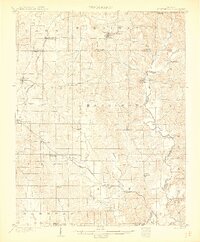
(13)- 1900 Map of St Meinrad, 1961 Print
 1900 St Meinrad1961 Print · USGSSouthern Indiana at the turn of the century shows a landscape of growing rail towns and river crossings. Genealogists can trace family roots through early settlements like Santa Claus, St. Meinrad, and Mariah Hill, or locate landmarks such as Old Mill Fd.
 - 1903 Map of St. Meinrad
 1903 St. Meinrad1903 Print · USGSSouthern Indiana at the start of the twentieth century shows a landscape of rail-connected villages and the winding Anderson River. Trace the early routes of the Southern railway through Lincoln City or locate the original sites of Santa Claus and St.Meinrad.2 unique versions available
 - 1956 Map of Vincennes, 1967 Print
 1956 Vincennes1967 Print · USGSSouthern Indiana and the Illinois borderlands are captured here in the mid-fifties, showing the region's dense network of river towns and rail lines. Researchers can trace historic river crossings along the Wabash River or locate landmarks like Wyandotte Cave and Lincoln State Park.4 unique versions available
 - 1957 Map of Vincennes
 1957 Vincennes1957 Print · USGSSouthwest Indiana and the Illinois borderlands come alive in the late 1950s, a period of heavy rail traffic and expanding state forests. Genealogists and historians can trace the riverfronts and rail lines of Vincennes, New Harmony, and the vast Crane Naval Ammunition Depot.
 - 1958 Map of Vincennes
 1958 Vincennes1958 Print · USGSSouthern Indiana and the Illinois borderlands are captured during a mid-century period of heavy rail traffic and military activity. Researchers can trace the sprawling bounds of the Crane Naval Ammunition Depot or locate historic settlements like New Harmony and French Lick.2 unique versions available
 - 1960 Map of Fulda, 1962 Print
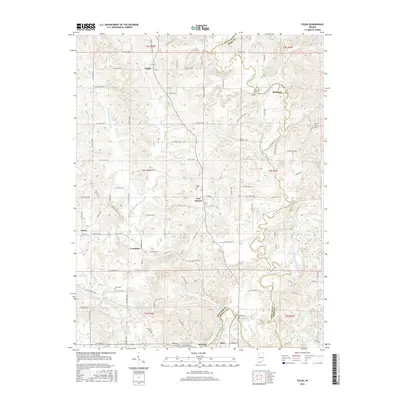
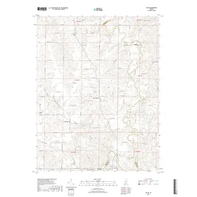
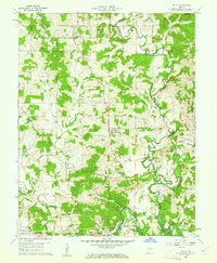 1960 Fulda1962 Print · USGSSpencer and Perry Counties are shown at the dawn of the 1960s as a landscape of tight-knit rural parishes and hilltop forests. Genealogists can trace family names through numerous remote burial grounds like Rust Cem and Butler Cem or locate old community centers such as New Boston and Fulda.3 unique versions available
 - 1986 Map of Jasper
 1986 Jasper1986 Print · USGSSouthern Indiana in the 1980s is defined by the expansive Patoka Lake and the dense timber of the Hoosier National Forest. Researchers can trace the Southern RR through the hills or locate historic sites like Saint Meinrad and Sulphur Springs.
 - 1994 Map of Jasper
 1994 Jasper1994 Print · USGSSouthern Indiana and the Kentucky borderlands are captured here in the mid-nineties, showing a landscape defined by the Ohio River and dense state forests. Genealogists can locate family landmarks like Saint Meinrad Archabbey, Saint Anthony, and the historic Lincoln Boyhood National Memorial.
 - 2010 Map of Fulda, 2010 Print
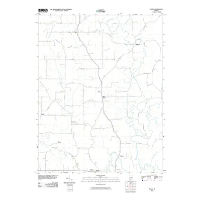 2010 Fulda2010 Print · USGSCovers Maxville, including Troy, Fulda, and other nearby areas
 - 2013 Map of Fulda, 2013 Print
 2013 Fulda2013 Print · USGSCovers Maxville, including Troy, Fulda, and other nearby areas
 - 2016 Map of Fulda, 2016 Print
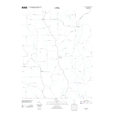
 2016 Fulda2016 Print · USGSCovers Maxville, including Troy, Fulda, and other nearby areas
 - 2019 Map of Fulda, 2019 Print
 2019 Fulda2019 Print · USGSCovers Maxville, including Troy, Fulda, and other nearby areas
 - 2022 Map of Fulda, 2022 Print
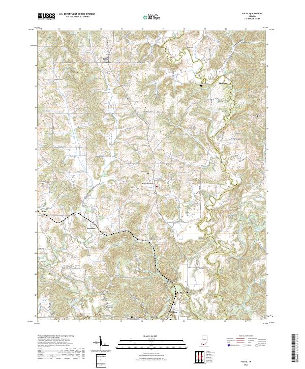 2022 Fulda2022 Print · USGSSpencer and Perry counties at the start of the 2020s remain defined by their river valleys and deep-rooted family settlements. Genealogists can trace local lineages through numerous burial sites like Butler Cem and Rust Cem or locate the quiet crossroads of Schley and Huffman.
End of results
Showing maps 1-13 of 13
Top cities near Maxville
- Tell City historical maps
- Ferdinand historical maps
- Lewisport historical maps
- Dale historical maps
- Cannelton historical maps
- Cloverport historical maps
See more
Frequently asked questions
- What are the different types of historical maps available for Maxville?
- What is the oldest map of Maxville?
- Where can I purchase historical maps of Maxville for my home or office?
- Where can I download high-res historical maps of Maxville?
- Are there historical topographic maps available for Maxville?
- Is there historical aerial imagery available for Maxville?
- Where are historical maps of Maxville sourced from?