2000s (21st Century) Maps of Switzerland County, Indiana
Explore 50 historic maps of Switzerland County from the 2000s (21st Century). These maps offer a rare glimpse into what life looked like during the 2000s — showing old roads, neighborhoods, homes, and landmarks that have changed or disappeared over time.
Whether you're researching your family's past, planning a metal detecting trip, or studying how Switzerland County's landscape evolved across the 2000s, these high-resolution maps are a powerful tool for exploring the history of this region.
- Focus on a specific era: All maps on this page are from the 2000s, giving you a focused view of this time period.
- See what’s changed: Compare century-old streets, trails, and buildings to today's modern landscape using overlays and satellite layers.
- Research with precision: Use these maps for genealogy, historical research, land use analysis, or educational projects.
- View, download, or print: Maps are fully viewable online in high resolution, and can be downloaded or printed for your own records.
Start exploring Switzerland County's history through authentic maps from the 2000s. This is your window into the past.
Switzerland County, IN maps
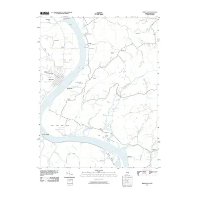
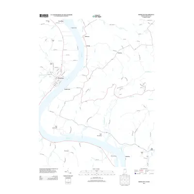
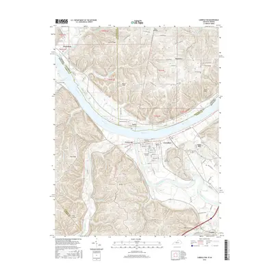
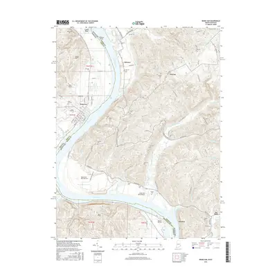
(50)- 2010 Map of Bennington, 2010 Print
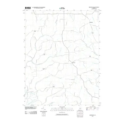 2010 Bennington2010 Print · USGSCovers Switzerland County, including Pleasant, Moorefield, and other nearby areas
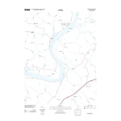
 - 2010 Map of Florence, 2010 Print
 2010 Florence2010 Print · USGSCovers Switzerland County, including Warsaw, Florence, and other nearby areas
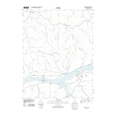
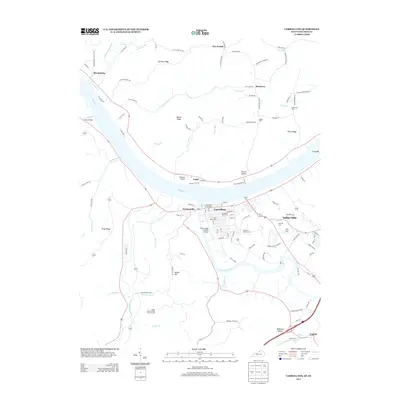
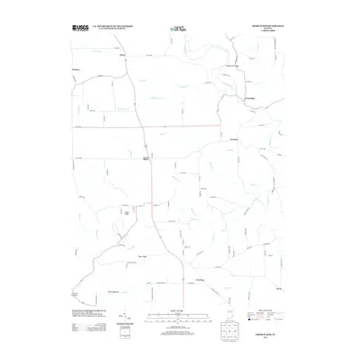
 - 2010 Map of Carrollton, 2010 Print
 2010 Carrollton2010 Print · USGSCovers Switzerland County, including Carrollton, Prestonville, and other nearby areas
 - 2010 Map of Cross Plains, 2010 Print
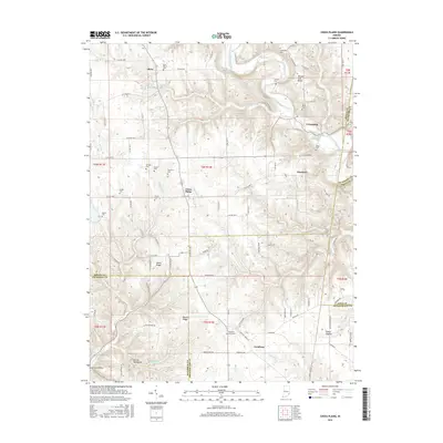
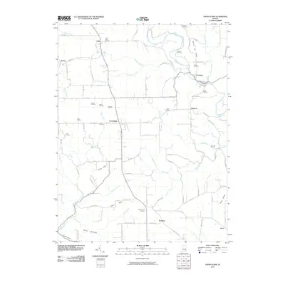 2010 Cross Plains2010 Print · USGSCovers Switzerland County, including Avonburg, Dewberry, and other nearby areas
 - 2010 Map of Patriot, 2010 Print
 2010 Patriot2010 Print · USGSCovers Switzerland County, including Patriot, Searcy Crossroads, and other nearby areas
 - 2010 Map of Vevay South, 2010 Print
 2010 Vevay South2010 Print · USGSCovers Switzerland County, including Vevay, Ghent, and other nearby areas
 - 2010 Map of Vevay North, 2010 Print
 2010 Vevay North2010 Print · USGSCovers Switzerland County, including Vevay, Fairview, and other nearby areas
 - 2010 Map of Bear Branch, 2010 Print
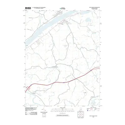
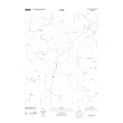
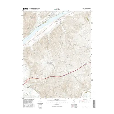
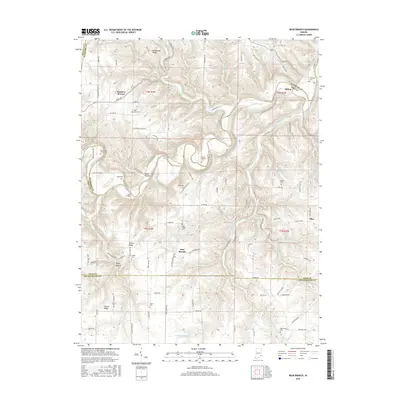
 2010 Bear Branch2010 Print · USGSCovers Switzerland County, including Farmers Retreat, Bear Branch, and other nearby areas
 - 2010 Map of Rising Sun, 2010 Print
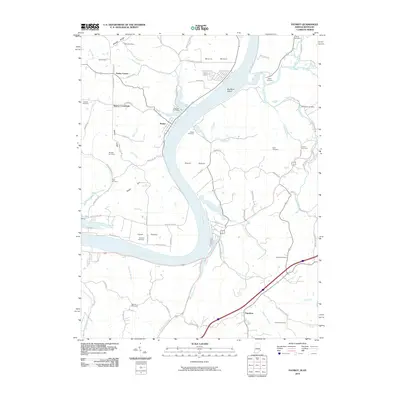
 2010 Rising Sun2010 Print · USGSCovers Switzerland County, including Rising Sun, McVille, and other nearby areas
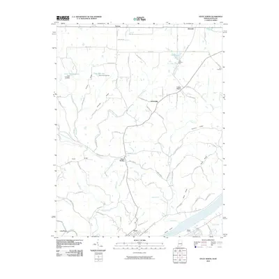
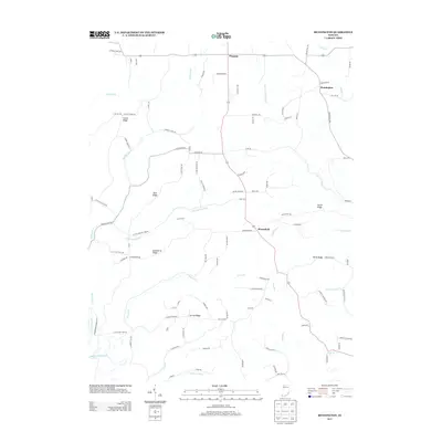
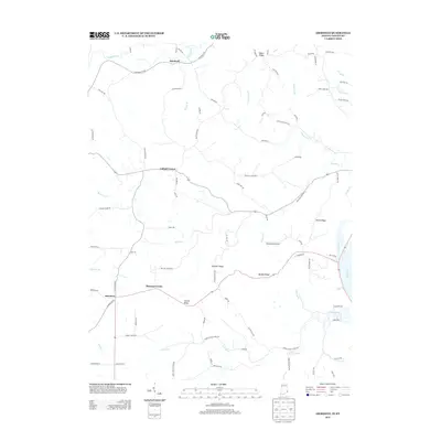
 - 2011 Map of Aberdeen, 2011 Print
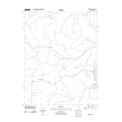 2011 Aberdeen2011 Print · USGSCovers Switzerland County, including Cofield Corner, Hartford, and other nearby areas
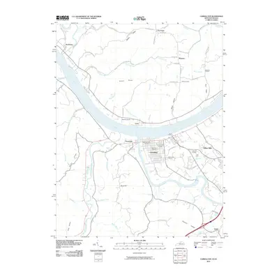
 - 2013 Map of Carrollton, 2013 Print
 2013 Carrollton2013 Print · USGSCovers Switzerland County, including Carrollton, Prestonville, and other nearby areas
 - 2013 Map of Florence, 2013 Print
 2013 Florence2013 Print · USGSCovers Switzerland County, including Warsaw, Florence, and other nearby areas
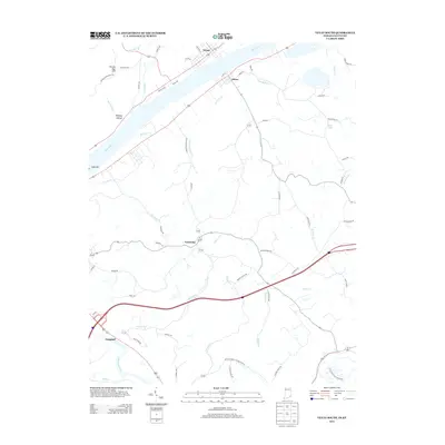
 - 2013 Map of Rising Sun, 2013 Print
 2013 Rising Sun2013 Print · USGSCovers Switzerland County, including Rising Sun, McVille, and other nearby areas
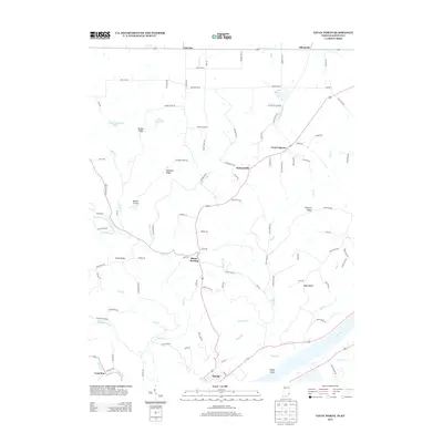
 - 2013 Map of Patriot, 2013 Print
 2013 Patriot2013 Print · USGSCovers Switzerland County, including Patriot, Searcy Crossroads, and other nearby areas
 - 2013 Map of Cross Plains, 2013 Print
 2013 Cross Plains2013 Print · USGSCovers Switzerland County, including Avonburg, Dewberry, and other nearby areas
 - 2013 Map of Bennington, 2013 Print
 2013 Bennington2013 Print · USGSCovers Switzerland County, including Pleasant, Moorefield, and other nearby areas
 - 2013 Map of Bear Branch, 2013 Print
 2013 Bear Branch2013 Print · USGSCovers Switzerland County, including Farmers Retreat, Bear Branch, and other nearby areas
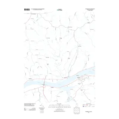
 - 2013 Map of Aberdeen, 2013 Print
 2013 Aberdeen2013 Print · USGSCovers Switzerland County, including Cofield Corner, Hartford, and other nearby areas
 - 2013 Map of Vevay North, 2013 Print
 2013 Vevay North2013 Print · USGSCovers Switzerland County, including Vevay, Fairview, and other nearby areas
 - 2013 Map of Vevay South, 2013 Print
 2013 Vevay South2013 Print · USGSCovers Switzerland County, including Vevay, Ghent, and other nearby areas
 - 2016 Map of Carrollton, 2016 Print
 2016 Carrollton2016 Print · USGSCovers Switzerland County, including Carrollton, Prestonville, and other nearby areas
 - 2016 Map of Vevay South, 2016 Print
 2016 Vevay South2016 Print · USGSCovers Switzerland County, including Vevay, Ghent, and other nearby areas
 - 2016 Map of Cross Plains, 2016 Print
 2016 Cross Plains2016 Print · USGSCovers Switzerland County, including Avonburg, Dewberry, and other nearby areas
 - 2016 Map of Bear Branch, 2016 Print
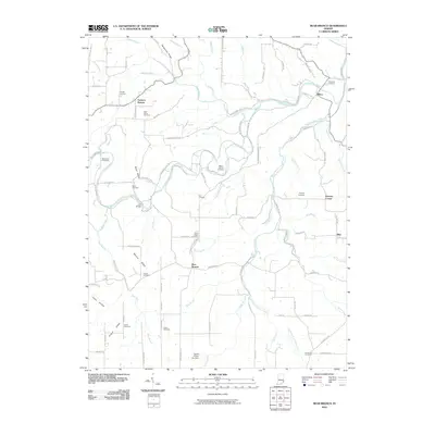
 2016 Bear Branch2016 Print · USGSCovers Switzerland County, including Farmers Retreat, Bear Branch, and other nearby areas
 - 2016 Map of Rising Sun, 2016 Print
 2016 Rising Sun2016 Print · USGSCovers Switzerland County, including Rising Sun, McVille, and other nearby areas
Showing maps 1-25 of 50
Top cities of Switzerland County
Frequently asked questions
- What are the different types of historical maps available for Switzerland County?
- What is the oldest map of Switzerland County?
- Where can I purchase historical maps of Switzerland County for my home or office?
- Where can I download high-res historical maps of Switzerland County?
- Are there historical topographic maps available for Switzerland County?
- Is there historical aerial imagery available for Switzerland County?
- Where are historical maps of Switzerland County sourced from?