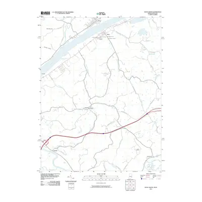
2010 Map of Vevay South
USGS Topo · Published 2010About this map
The Ohio River forms a wide natural boundary between Indiana and Kentucky on this 2010 survey, anchoring the riverfront settlements of Vevay and Ghent. This landscape is defined by the high concentration of historic burial sites surrounding Ghent, including the Ghent's Old Black Cemetery, Ghent 2nd Baptist Cemetery, and the Masonic Cemetery. These sites, alongside others like the Scott Number 1 Cemetery, suggest a deeply rooted community history tied to the river valley's fertile banks.
Find a feature on this map
50 named features on this map. Tap any name to fly to it.
Don’t see what you’re looking for? This feature index may not catch every label — zoom into the map to look around manually.
Map Details
Editions of this 2010 Vevay South Map
This is the sole edition of this map. No revisions or reprints were ever made.
Other maps of this area

1943 · Florence
USGS Topo · 1:24,000

1943 · Vevay North
USGS Topo · 1:24,000

1943 · Brooksburg
USGS Topo · 1:24,000

1943 · Vevay South
USGS Topo · 1:24,000

1950 · New Liberty
USGS Topo · 1:24,000

1951 · Florence
USGS Topo · 1:24,000

1951 · Sanders
USGS Topo · 1:24,000

1952 · Vevay South
USGS Topo · 1:24,000

1952 · Worthville
USGS Topo · 1:24,000

1952 · Campbellsburg
USGS Topo · 1:24,000