Old Maps of Salem, Indiana for Genealogy
Trace your family roots with 13 historic maps of Salem. These high-res maps reveal old neighborhoods, homesites, landmarks, and streets — helping you uncover where your ancestors lived and how the area evolved over time.
- Explore historic neighborhoods: Identify where your relatives may have lived in the 1800s or 1900s.
- Compare maps over time: Trace the changes in streets, buildings, and landmarks for multi-generational research.
- Perfect for genealogy & ancestry research: Used by family historians and researchers to map out lineage and migration.
These maps are an incredible resource for exploring your personal connection to Salem's past.
Salem, IN maps
(13)- 1915 Map of College Corner
 1915 College Corner1915 Print · USGSThe Indiana-Ohio borderlands at the start of the twentieth century are defined here by rail hubs and rural townships. Trace family roots and vanished landmarks near College Corner, Concord Church, and the winding Fourmile Creek.
 - 1918 Map of College Corner
 1918 College Corner1918 Print · USGSThe Indiana-Ohio borderlands come into focus during the Great War era, showing the intersection of rail and road commerce. Genealogists and historians can trace the early layout of College Corner, the grounds of Tallawanda Springs, and rural landmarks like School No 3.4 unique versions available
 - 1948 Map of Fairfield
 1948 Fairfield1948 Print · USGSEastern Indiana agriculture and river valley life are captured here in the late forties, just before major landscape shifts. Genealogists can trace family roots through sites like Sims Cem, Dunlapsville, and the Old Townhouse Sch.
 - 1953 Map of Cincinnati, 1965 Print
 1953 Cincinnati1965 Print · USGSThe Ohio River valley and the industrial heartland of Indiana and Ohio are captured here during the mid-century peak of rail and river commerce. Genealogists and historians can trace connections between Cincinnati and outlying military sites like Camp Atterbury and Bakalar AFB.3 unique versions available
 - 1957 Map of Cincinnati
 1957 Cincinnati1957 Print · USGSThe Ohio River valley and its surrounding highlands thrived during the mid-fifties industrial peak, centered on the bustling Cincinnati and Dayton metropolitan hubs. Researchers can trace the extensive rail networks and military sites like Wright-Patterson AFB and Camp Atterbury.
 - 1960 Map of Fairfield, 1962 Print
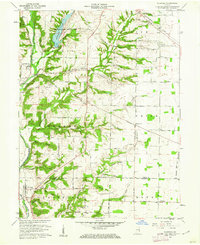 1960 Fairfield1962 Print · USGSThe Whitewater River valley in the early sixties remains a landscape of covered bridges and dispersed farmsteads before major modern changes. Genealogists can trace family footprints at Old Bath Springs Cem, the community of Fairfield, and several rural churches like Salem Ch.2 unique versions available
 - 1974 Map of New Fairfield, 1975 Print
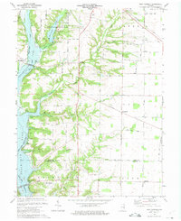 1974 New Fairfield1975 Print · USGSUnion County's landscape undergoes a major transformation in the mid-1970s as the Whitewater valley is reshaped by large-scale water projects. Researchers can trace historic cemeteries and church sites such as Old Franklin Ch and New Hope Cem alongside the Baltimore and Ohio rail line.3 unique versions available
 - 1986 Map of Dayton
 1986 Dayton1986 Print · USGSThe Miami Valley and the Indiana-Ohio borderlands reached a peak of suburban and industrial connectivity in the mid-eighties. Genealogists and historians can trace family burial sites at Miami Memorial Garden (Cem) and the development surrounding Wright-Patterson Air Force Base.2 unique versions available
 - 2010 Map of New Fairfield, 2010 Print
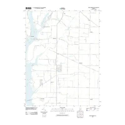 2010 New Fairfield2010 Print · USGSEastern Indiana’s reservoir landscape is captured here in the early twenty-first century, showing the intersection of rural life and state park conservation. Researchers can trace historic local sites like Old Bath Springs Cemetery and the hamlets of Roseburg and Billingsville.
 - 2013 Map of New Fairfield, 2013 Print
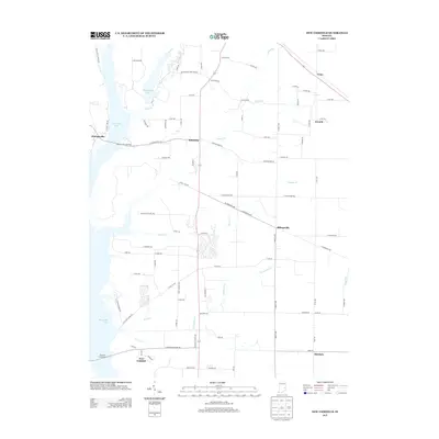 2013 New Fairfield2013 Print · USGSEastern Indiana’s lake-side communities and rural townships are captured here in the early twenty-first century. Researchers can trace local routes like S Liberty Pike to find old crossroads settlements such as Billingsville, Roseburg, and Old Bath.
 - 2016 Map of New Fairfield, 2016 Print
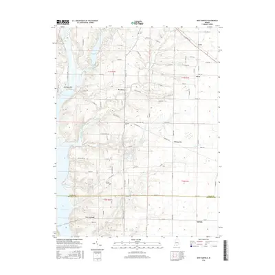 2016 New Fairfield2016 Print · USGSThe borderlands of Union and Franklin Counties are captured here in 2016, showcasing the rural landscape of eastern Indiana. Genealogists and local researchers can trace the roads and cemeteries surrounding New Fairfield, Dunlapsville, and Old Bath Springs Cem.
 - 2019 Map of New Fairfield, 2019 Print
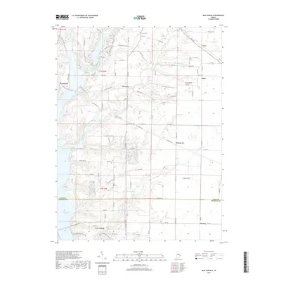 2019 New Fairfield2019 Print · USGSEastern Indiana’s rural crossroads and the expansive Brookville Lake reservoir are captured here during the late 2010s. Researchers can locate family roots at Bath Springs Cem or trace old routes through Dunlapsville and Billingsville.
 - 2022 Map of New Fairfield, 2022 Print
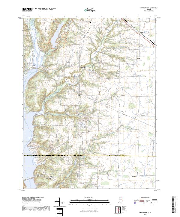 2022 New Fairfield2022 Print · USGSThe rural landscapes of eastern Indiana are captured here in the early 2020s, centered on the Brookville Lake area and the East Fork Whitewater River. Researchers can trace old family sites and local centers like Lotus, Billingsville, and the Bath Springs Cem.
End of results
Showing maps 1-13 of 13
Top cities near Salem
- Richmond historical maps
- Oxford historical maps
- Connersville historical maps
- Eaton historical maps
- Ross Township historical maps
- Reily Township historical maps
See more
Frequently asked questions
- What are the different types of historical maps available for Salem?
- What is the oldest map of Salem?
- Where can I purchase historical maps of Salem for my home or office?
- Where can I download high-res historical maps of Salem?
- Are there historical topographic maps available for Salem?
- Is there historical aerial imagery available for Salem?
- Where are historical maps of Salem sourced from?