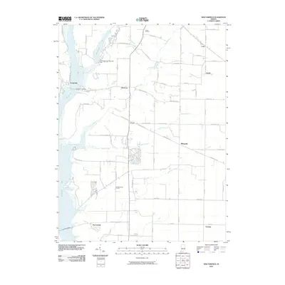
2010 Map of New Fairfield
USGS Topo · Published 2010About this map
Brookville Lake and Whitewater Lake dominate the western landscape of this Union County quadrangle, where the valley topography is defined by the Whitewater State Park Lake Dam. The terrain is etched by numerous drainages including Hanna Creek, Dubois Creek, and Templeton Creek, which feed into the primary reservoir system. This 2010 survey illustrates the rural settlement patterns of eastern Indiana, anchored by small communities such as Dunlapsville, Roseburg, and Billingsville. Local history is preserved through several dedicated burial grounds, including the Old Bath Springs Cemetery and New Hope Cemetery. The map captures a transition where traditional township roads meet modern leisure infrastructure, evidenced by the Dunlapsville Causeway and the surrounding Whitewater State Park.
Find a feature on this map
52 named features on this map. Tap any name to fly to it.
Don’t see what you’re looking for? This feature index may not catch every label — zoom into the map to look around manually.
Map Details
Editions of this 2010 New Fairfield Map
This is the sole edition of this map. No revisions or reprints were ever made.
Other maps of this area

1915 · College Corner
USGS Topo · 1:48,000

1915 · Harrison
USGS Topo · 1:48,000

1918 · College Corner
USGS Topo · 1:62,500

1948 · Fairfield
USGS Topo · 1:24,000

1953 · Cincinnati
USGS Topo · 1:250,000

1955 · Reily
USGS Topo · 1:24,000

1955 · Mount Carmel
USGS Topo · 1:24,000

1956 · Everton
USGS Topo · 1:24,000

1956 · Brownsville
USGS Topo · 1:24,000

1956 · Brookville
USGS Topo · 1:24,000