2000s (21st Century) Maps of Warren County, Indiana
Explore 67 historic maps of Warren County from the 2000s (21st Century). These maps offer a rare glimpse into what life looked like during the 2000s — showing old roads, neighborhoods, homes, and landmarks that have changed or disappeared over time.
Whether you're researching your family's past, planning a metal detecting trip, or studying how Warren County's landscape evolved across the 2000s, these high-resolution maps are a powerful tool for exploring the history of this region.
- Focus on a specific era: All maps on this page are from the 2000s, giving you a focused view of this time period.
- See what’s changed: Compare century-old streets, trails, and buildings to today's modern landscape using overlays and satellite layers.
- Research with precision: Use these maps for genealogy, historical research, land use analysis, or educational projects.
- View, download, or print: Maps are fully viewable online in high resolution, and can be downloaded or printed for your own records.
Start exploring Warren County's history through authentic maps from the 2000s. This is your window into the past.
Warren County, IN maps
(67)- 2010 Map of West Lebanon, 2010 Print
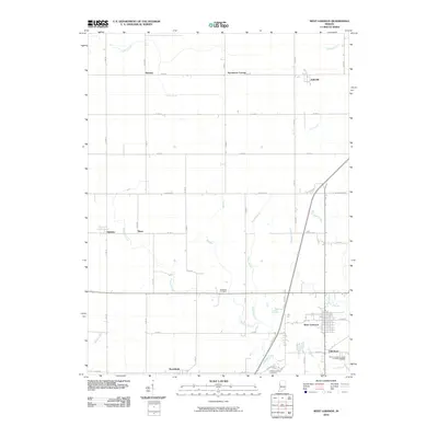 2010 West Lebanon2010 Print · USGSWarren County at the start of the new millennium reveals a deeply rooted agricultural landscape centered on West Lebanon. Genealogists and local historians can trace family locations near Old Town or identify rural burial sites like Redwood Cemetery and Shankland Hill Cemetery.
 - 2010 Map of Covington, 2010 Print
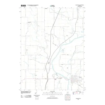 2010 Covington2010 Print · USGSThe Wabash River valley and the town of Covington are shown here as they appeared in the early twenty-first century. Genealogists and local historians can trace numerous rural burial sites like Baltimore Cemetery, Sand Hill Cemetery, and Lyons Cemetery.
 - 2010 Map of Pine Village, 2010 Print
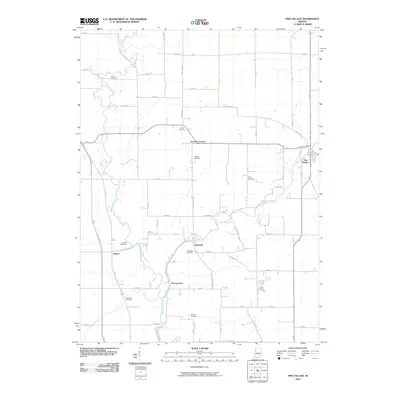 2010 Pine Village2010 Print · USGSWarren County’s rural crossroads and stream valleys are captured in detail during the early twenty-first century. Genealogists and local historians can trace family burial sites like Hooker Cemetery and Bartlett Cemetery or locate the small settlements of Rainsville and Brisco.
 - 2010 Map of Williamsport, 2010 Print
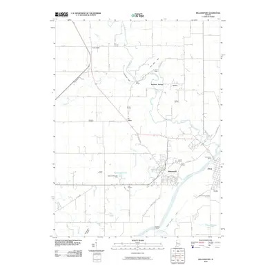 2010 Williamsport2010 Print · USGSThe banks of the Wabash River at the start of the twenty-first century reveal a landscape of river-town history and rural heritage. Genealogists can trace family connections at Riverside Cemetery or Brier Cemetery, while historians can locate the path of the Wabash and Erie Canal.
 - 2010 Map of Stone Bluff, 2010 Print
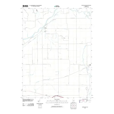 2010 Stone Bluff2010 Print · USGSFountain County rural life is captured here in the early twenty-first century, showing the enduring path of the Wabash River. Researchers can trace the legacy of the Wabash and Erie Canal and locate family history at Stone Bluff or the Brown Cemetery.
 - 2010 Map of Danville NE, 2010 Print
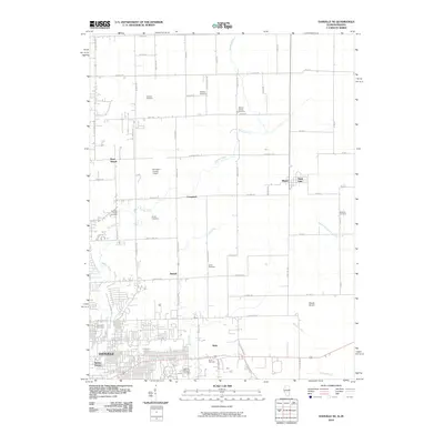 2010 Danville NE2010 Print · USGSThe outskirts of Danville and the Illinois-Indiana border come into focus in the early 2000s. Genealogists and historians can trace numerous family-named burial grounds like Leonard Cemetery and Lamb Cemetery near settlements such as Illiana and Campbell.
 - 2010 Map of Attica, 2010 Print
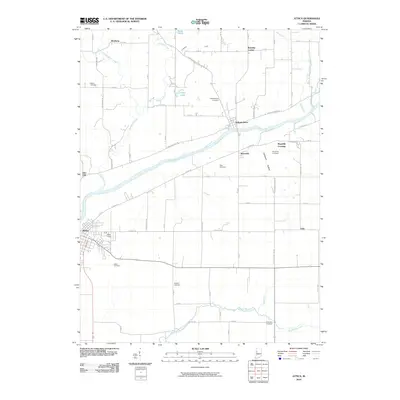 2010 Attica2010 Print · USGSThe Wabash River valley in Fountain County is captured here in the early twenty-first century, showing the enduring layout of historic river towns and rural townships. Genealogists can trace family landmarks and burial sites from Bethel Cemetery to the riverside settlement of Independence.
 - 2010 Map of Tab, 2010 Print
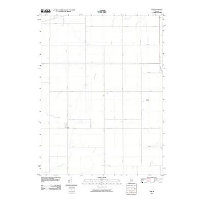 2010 Tab2010 Print · USGSBenton County agricultural lands are captured here in the early 21st century, showing the small settlement of Tab and its surrounding grid of rural roads. Genealogists and researchers can trace local landmarks like Dalton Airport and the courses of Jordan Creek and Goose Creek.
 - 2010 Map of Chatterton, 2010 Print
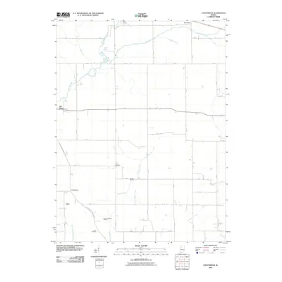 2010 Chatterton2010 Print · USGSBenton County agriculture and small-town crossroads define this area of Indiana during the early twenty-first century. Genealogists and local historians can locate several family burial sites, including Griffin Cemetery, Quaker Cemetery, and the settlement at Chatterton.
 - 2010 Map of Westpoint, 2010 Print
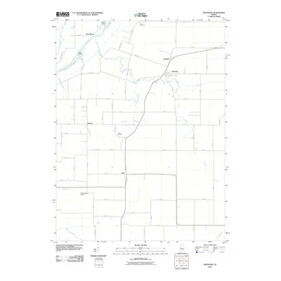 2010 Westpoint2010 Print · USGSThe rural river valley near Westpoint and Glenhall is captured here during the early twenty-first century. Researchers can trace family history through Sherry Cemetery and Marks Cemetery or locate landmarks like North Brothers Airport and Black Rock.
 - 2010 Map of Otterbein, 2010 Print
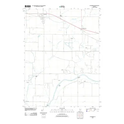 2010 Otterbein2010 Print · USGSThe Indiana prairie north of the Wabash River is captured here during the first decade of the new millennium. Researchers can trace rural lineages at Shambaugh Cemetery or locate old crossing points like the Grandville Bridge and High Bridge.
 - 2010 Map of Bismarck, 2010 Print
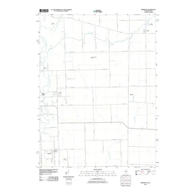 2010 Bismarck2010 Print · USGSBismarck and the borderlands of Illinois and Indiana appear here in a transition toward modern rural development. Family historians can trace local roots at Rose Cemetery and Jordan Cemetery or locate old community centers in Alvin and Pence.
 - 2011 Map of Ambia, 2011 Print
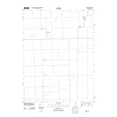 2011 Ambia2011 Print · USGSThe Indiana-Illinois borderlands come into focus in this early 21st-century survey of the rural Midwest. Genealogists and local historians can locate smaller settlements like Cheneyville, Heaton, and Powley Corners along the Vermilion River.
 - 2012 Map of Bismarck, 2012 Print
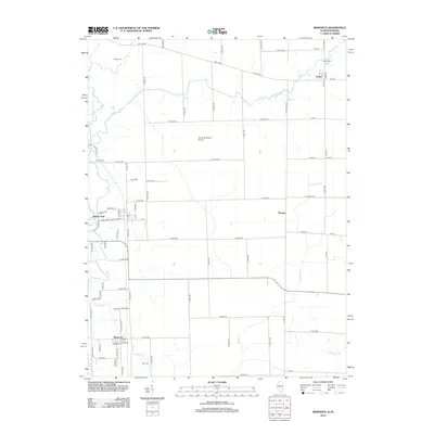 2012 Bismarck2012 Print · USGSThe Illinois-Indiana borderlands appear in high detail during this early 21st-century period, centered on the community of Bismarck. Genealogists and historians can trace local heritage through several mapped burial sites like Rose Cem and explore the rural hamlets of Pence and Thomas.
 - 2012 Map of Danville NE, 2012 Print
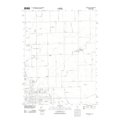 2012 Danville NE2012 Print · USGSThe Illinois-Indiana border comes alive in this 2010s survey, showing the unique intersection of two state surveying systems. Genealogists can trace family heritage through numerous sites like Danville National Cem, Walnut Corner Cem, and the border towns of Illiana and State Line.
 - 2013 Map of West Lebanon, 2013 Print
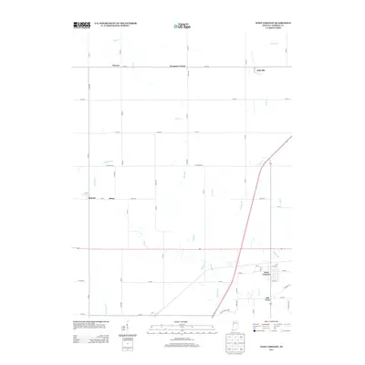 2013 West Lebanon2013 Print · USGSWarren County at the start of the twenty-first century reveals a landscape of enduring rural settlements and intricate prairie drainage. Genealogists and local historians can trace the developments of West Lebanon, Old Town, and the outlying Judyville.
 - 2013 Map of Covington, 2013 Print
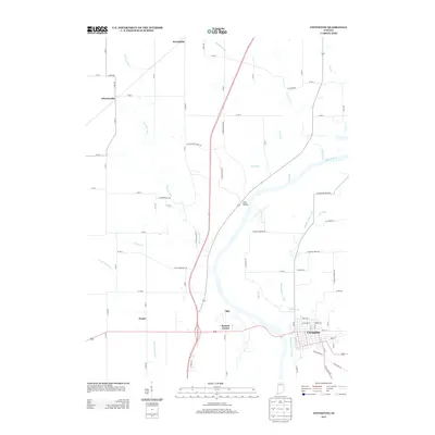 2013 Covington2013 Print · USGSCovington and the surrounding Wabash River valley are captured here in the early twenty-first century, showcasing a blend of rural township life and river history. Genealogists and historians can trace the path of the Wabash and Erie Canal and locate smaller locales like Coal Hollow and Romine Corner.
 - 2013 Map of Otterbein, 2013 Print
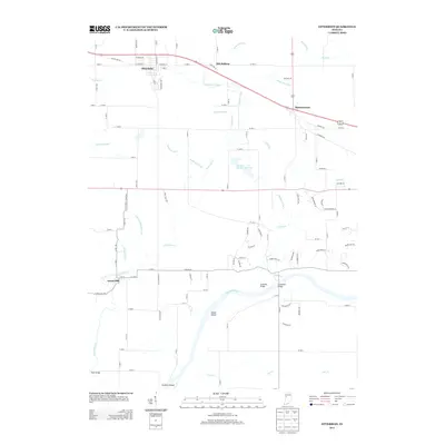 2013 Otterbein2013 Print · USGSThe Indiana prairie meets the Wabash River valley in this 2013 survey of Tippecanoe and Benton counties. Genealogists and local historians can trace the roads around Otterbein, find the crossing at Granville Bridge, and locate the small community of Green Hill.
 - 2013 Map of Chatterton, 2013 Print
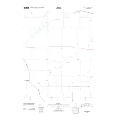 2013 Chatterton2013 Print · USGSBenton County agriculture and water management are the focus of this recent survey near the settlements of Foresman and Chatterton. Researchers can trace the drainage of Big Pine Cr and locate local landmarks such as Cottingham Airport.
 - 2013 Map of Tab, 2013 Print
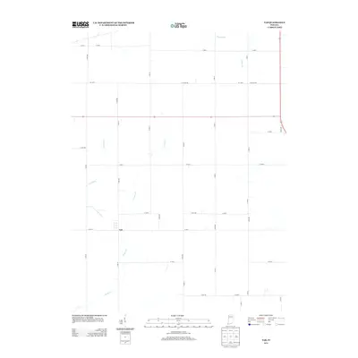 2013 Tab2013 Print · USGSBenton County agriculture dominates this landscape in the early 2010s, showcasing the intricate relationship between prairie farming and water management. Local historians and genealogists can trace the small settlement of Tab and follow the paths of Jordan Cr and Leak Ditch.
 - 2013 Map of Pine Village, 2013 Print
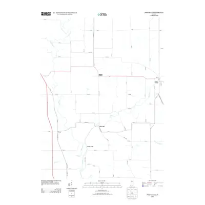 2013 Pine Village2013 Print · USGSWarren County agricultural lands and meandering creek valleys come into focus in this early twenty-first-century survey. Genealogists and local historians can trace the roads connecting Pine Village, Rainsville, and Hooker Corner along the banks of Big Pine Cr.
 - 2013 Map of Stone Bluff, 2013 Print
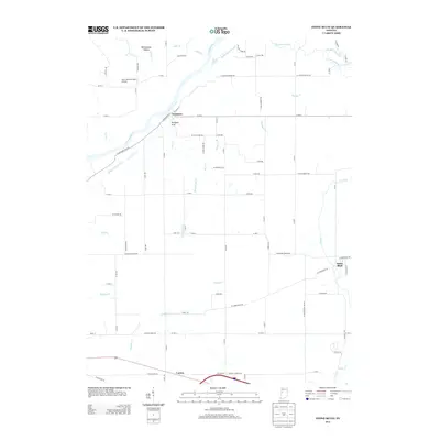 2013 Stone Bluff2013 Print · USGSFountain County in the early twenty-first century retains its rural character and deep ties to the river. Researchers can trace historic transport routes including the Wabash and Erie Canal and old settlements like Fountain and Stone Bluff.
 - 2013 Map of Attica, 2013 Print
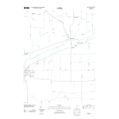 2013 Attica2013 Print · USGSThe Wabash River valley in Fountain County is documented here during the early twenty-first century as it flows past established river towns. Genealogists and local historians can trace family locations near Attica, the river crossing at Independence, or rural settlements like Winthrop.
 - 2013 Map of Westpoint, 2013 Print
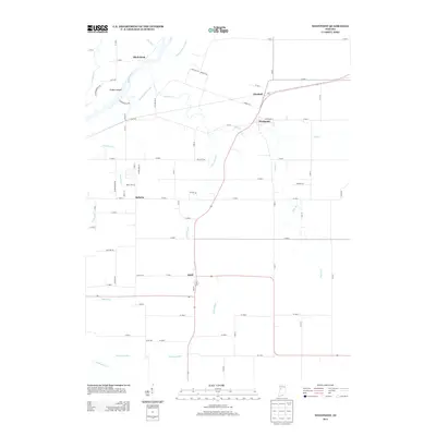 2013 Westpoint2013 Print · USGSTippecanoe County is depicted in the early twenty-first century as a landscape of managed prairie and riverine heritage. Researchers can trace the path of the Wabash and Erie Canal and locate rural communities like Westpoint, Odell, and Glenhall.
 - 2013 Map of Williamsport, 2013 Print
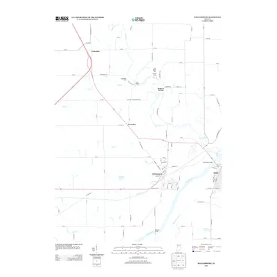 2013 Williamsport2013 Print · USGSThe Wabash River valley and its steep bluffs define this part of Indiana in the early twenty-first century. Genealogists and local historians can trace the paths of the Wabash and Erie Canal, locate the old site of Mudlavia Springs, and explore the layout of Williamsport.
Showing maps 1-25 of 67
Top cities of Warren County
Frequently asked questions
- What are the different types of historical maps available for Warren County?
- What is the oldest map of Warren County?
- Where can I purchase historical maps of Warren County for my home or office?
- Where can I download high-res historical maps of Warren County?
- Are there historical topographic maps available for Warren County?
- Is there historical aerial imagery available for Warren County?
- Where are historical maps of Warren County sourced from?