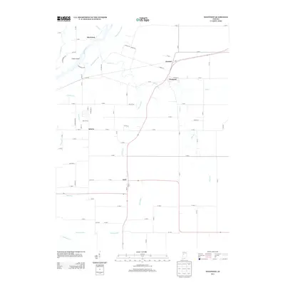
2013 Map of Westpoint
USGS Topo · Published 2013About this map
The Wabash and Erie Canal cuts across the northwest corner of this Tippecanoe County landscape, tracing a historic transportation corridor parallel to the Wabash River. This 2013 survey illustrates the enduring agricultural character of the region, where rural settlements like Westpoint and Glenhall serve as local hubs for the surrounding farmsteads. The terrain is defined by its watercourses, including the notable Black Rock formation and the Fulton Islands within the river channel.
Find a feature on this map
78 named features on this map. Tap any name to fly to it.
Don’t see what you’re looking for? This feature index may not catch every label — zoom into the map to look around manually.
Map Details
Editions of this 2013 Westpoint Map
This is the sole edition of this map. No revisions or reprints were ever made.
Other maps of this area

1941 · Lafayette
USGS Topo · 1:24,000

1942 · Otterbein
USGS Topo · 1:24,000

1942 · Lafayette
USGS Topo · 1:24,000

1950 · Lafayette
USGS Topo · 1:24,000

1951 · Otterbein
USGS Topo · 1:24,000

1953 · Danville
USGS Topo · 1:250,000

1955 · Danville
USGS Topo · 1:250,000

1956 · Danville
USGS Topo · 1:250,000

1958 · Linden
USGS Topo · 1:24,000

1961 · Chatterton
USGS Topo · 1:24,000