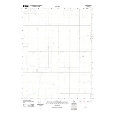
2010 Map of Tab
USGS Topo · Published 2010About this map
Tab anchors the western portion of this Benton County landscape, situated at the intersection of N 800 W and W 650 N. The area is defined by a grid-like network of rural roads and a sophisticated drainage system essential for the agricultural productivity of the region. Waterways such as Jordan Creek and Goose Creek wind across the terrain, supplemented by man-made channels like Farrell Ditch and Leak Ditch. A small aviation landmark, Dalton Airport, is located to the east, providing a point of interest amidst the expansive fields. The map captures the quiet, organized character of rural Indiana in the early 21st century, illustrating how local infrastructure and natural watercourses dictate the layout of this farming community.
Find a feature on this map
25 named features on this map. Tap any name to fly to it.
Don’t see what you’re looking for? This feature index may not catch every label — zoom into the map to look around manually.
Map Details
Editions of this 2010 Tab Map
This is the sole edition of this map. No revisions or reprints were ever made.
Other maps of this area

1933 · Hoopeston
USGS Topo · 1:48,000

1938 · Milford
USGS Topo · 1:48,000

1938 · Hoopeston
USGS Topo · 1:62,500

1944 · Milford
USGS Topo · 1:62,500

1953 · Danville
USGS Topo · 1:250,000

1955 · Danville
USGS Topo · 1:250,000

1956 · Danville
USGS Topo · 1:250,000

1961 · Tab
USGS Topo · 1:24,000

1961 · Pine Village
USGS Topo · 1:24,000

1961 · West Lebanon
USGS Topo · 1:24,000