Old Maps of Warrick County, Indiana for Hiking & Exploration
Hike through history with 84 historic maps of Warrick County. Explore old trails, ghost towns, and forgotten backroads — perfect for outdoor adventurers and local explorers.
- Rediscover forgotten places: Map out old mining camps, roads, and footpaths that no longer exist on modern maps.
- Layer with modern tools: Combine with LiDAR or satellite views to plan hikes through historical terrain.
- Made for exploration: Popular among hikers, overlanders, and local history lovers.
Use these maps to find adventure and explore the hidden past of Warrick County.
Warrick County, IN maps
(84)- 1900 Map of De Gonia Springs, 1963 Print
 1900 De Gonia Springs1963 Print · USGSSouthern Indiana at the turn of the century shows a landscape of rail-dependent towns and mineral spring resorts across Warrick and Spencer counties. Genealogists and historians can trace the early layouts of De Gonia Springs, Folsomville, and Tennyson along the SOUTHERN railroad lines.
 - 1901 Map of Owensboro
 1901 Owensboro1901 Print · USGSThe Ohio River bend at the turn of the century shows a bustling corridor of rail and river commerce between Kentucky and Indiana. Trace the early footprints of Owensboro and Rockport alongside vanished landmarks like Lake Mills and the Willow Pond Bed.5 unique versions available
 - 1902 Map of Ditney
 1902 Ditney1902 Print · USGSSouthern Indiana at the start of the century was a landscape of expanding railroads and rural hamlets. Family historians can trace ancestral roots through dozens of small settlements like Coats Springs, Dongola, and Boonville along the Southern RR.3 unique versions available
 - 1902 Map of Degonia Springs
 1902 Degonia Springs1902 Print · USGSSouthwestern Indiana is captured here at the turn of the century as the rail network linked the region's mineral springs and rural townships. Genealogists can trace the early layout of Degonia Springs, Folsomville, and Gentryville along the SOUTHERN railroad lines.2 unique versions available
 - 1902 Map of Boonville
 1902 Boonville1902 Print · USGSWarrick and Gibson Counties at the opening of the twentieth century reveal a landscape of evolving transport and established rural life. Trace the path of the Wabash and Erie Canal or locate family roots in Boonville, Millersburg, and Lynnville.4 unique versions available
 - 1905 Map of Newburg
 1905 Newburg1905 Print · USGSThe Ohio River bottomlands of Indiana and Kentucky are captured here in the early twentieth century, showing a world defined by river transit and rail. Genealogists can locate river-town homesteads near Newburg or trace family river crossings at MASON FERRY and HAMILTON FERRY.3 unique versions available
 - 1951 Map of Yankeetown, 1952 Print
 1951 Yankeetown1952 Print · USGSThe banks of the Ohio River in the early fifties reveal a landscape of river-bottom settlements and upland farms. Researchers can trace the layout of Scuffletown and Carlinburg, find early Oil Wells, and locate rural landmarks like St Rupert Ch and Vanada Cem.2 unique versions available
 - 1952 Map of Newburgh, 1953 Print
 1952 Newburgh1953 Print · USGSThe Indiana-Kentucky borderlands along the Ohio River come to life in the early fifties, showing the transition from agricultural bottomlands to riverfront settlements. Researchers can trace family roots at Rose Hill Cem or locate the historic Angel Mounds State Memorial and Lock No 47.2 unique versions available
 - 1954 Map of Evansville
 1954 Evansville1954 Print · USGSThe Ohio River borderlands between Indiana and Kentucky appear here during a period of robust industrial and military growth. Genealogists and researchers can trace the rail corridors of the Illinois Central and find landmarks like US Lock and Dam No 48 or Camp Breckinridge.
 - 1954 Map of Richland, 1956 Print
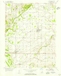 1954 Richland1956 Print · USGSSpencer County and the Warrick County border are documented here during the mid-1950s as a landscape of rural hamlets and managed wetlands. Researchers can trace historic family locations at Richland City, Bullocktown, and several small burial sites like Broshears Cem.
 - 1956 Map of Vincennes, 1967 Print
 1956 Vincennes1967 Print · USGSSouthern Indiana and the Illinois borderlands are captured here in the mid-fifties, showing the region's dense network of river towns and rail lines. Researchers can trace historic river crossings along the Wabash River or locate landmarks like Wyandotte Cave and Lincoln State Park.4 unique versions available
 - 1957 Map of Vincennes
 1957 Vincennes1957 Print · USGSSouthwest Indiana and the Illinois borderlands come alive in the late 1950s, a period of heavy rail traffic and expanding state forests. Genealogists and historians can trace the riverfronts and rail lines of Vincennes, New Harmony, and the vast Crane Naval Ammunition Depot.
 - 1957 Map of Evansville, 1969 Print
 1957 Evansville1969 Print · USGSIndiana and Kentucky meet along the Ohio River in this mid-century survey of a vital industrial and transport corridor. Genealogists and historians can trace the development of river towns like Owensboro and Newburgh or locate old rail lines like the Southern Ry.3 unique versions available
 - 1958 Map of Vincennes
 1958 Vincennes1958 Print · USGSSouthern Indiana and the Illinois borderlands are captured during a mid-century period of heavy rail traffic and military activity. Researchers can trace the sprawling bounds of the Crane Naval Ammunition Depot or locate historic settlements like New Harmony and French Lick.2 unique versions available
 - 1960 Map of De Gonia Springs, 1962 Print
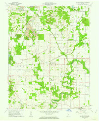 1960 De Gonia Springs1962 Print · USGSWarrick and Spencer counties are shown at the height of the mid-century mining era, as traditional farmsteads met expanding industrial footprints. Genealogists can trace family landmarks like Skelton Cems, Bethabara Ch, and the distinct settlements of De Gonia Springs and Degonia.2 unique versions available
 - 1960 Map of Chrisney, 1962 Print
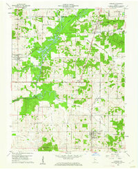 1960 Chrisney1962 Print · USGSSpencer County at the start of the sixties reveals a transition from traditional rural townships to a landscape shaped by state parks and railroads. Researchers can trace family roots through St Martins Ch and Mt Mariah Cem, or locate landmarks like Gentryville and the Pigeon Creek Fish Hatchery.3 unique versions available
 - 1960 Map of Folsomville, 1963 Print
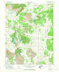 1960 Folsomville1963 Print · USGSSouthern Indiana's coal country comes into focus in the early 1960s, showing a landscape defined by the Tecumseh Mine and widespread Strip Mines. Genealogists and historians can trace local landmarks like Dickeyville, the Old Indian Treaty Boundary, and several rural cemeteries.3 unique versions available
 - 1960 Map of Lynnville, 1968 Print
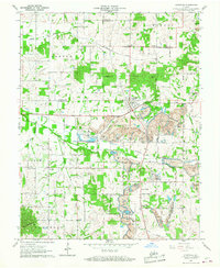 1960 Lynnville1968 Print · USGSSouthwestern Indiana's coal country comes into sharp focus during the 1960s as industrial excavation meets rural tradition. Researchers can trace the massive Strip Mines alongside local landmarks like Barnetta Chapel, St Pauls Cem, and Graham Valley.5 unique versions available
 - 1961 Map of Evansville
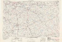 1961 Evansville1961 Print · USGSThe Ohio River valley and its surrounding coalfields are captured here during the late fifties and early sixties. Trace the industrial rail networks of the Illinois Central RR and explore regional landmarks like Mammoth Cave National Park and Angel Mounds State Memorial.2 unique versions available
 - 1961 Map of Holland, 1962 Print
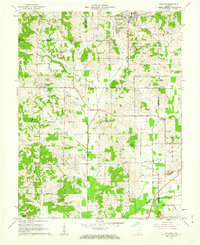 1961 Holland1962 Print · USGSThe crossroads of Dubois, Warrick, and Spencer counties come alive in the early sixties as rural life meets emerging industry. Researchers can trace the Old Indian Treaty Boundary and locate family burial sites like St James Cem or the Strip Mine near Selvin.3 unique versions available
 - 1961 Map of Elberfeld, 1963 Print
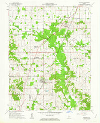 1961 Elberfeld1963 Print · USGSThe rural landscape around Elberfeld and Buckskin in the early sixties was a unique blend of active energy production and historical transit routes. Local historians can trace the path of the Erie and Wabash Canal and locate family sites like Nobles Cem or Zion Cem.4 unique versions available
 - 1961 Map of Boonville, 1963 Print
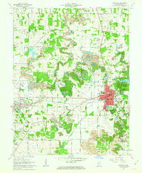 1961 Boonville1963 Print · USGSWarrick County during the early sixties reveals a landscape of industrial strip mining and established small-town centers. Genealogists and local historians can trace the foundations of Boonville and Chandler alongside landmarks like St Clements Sch and Maple Grove Cem.3 unique versions available
 - 1961 Map of Daylight, 1963 Print
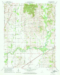 1961 Daylight1963 Print · USGSWarrick and Vanderburgh counties are shown in the early sixties as rural life centered on the rail corridors of the New York Central. Researchers can trace the legacy of the Wabash and Erie Canal or locate local landmarks like Daylight Sch and Blue Grass Cem.4 unique versions available
 - 1964 Map of Richland City, 1965 Print
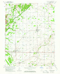 1964 Richland City1965 Print · USGSSpencer County's rural townships are captured in the mid-1960s as a landscape of managed drainage and quiet agricultural hubs. Researchers can trace ancestral sites at Hatfield Cem and Richardson Cem or locate the former Old Railroad Grade near Richland City.2 unique versions available
 - 1964 Map of Newburgh, 1966 Print
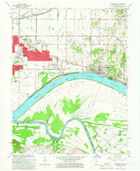 1964 Newburgh1966 Print · USGSThe Indiana-Kentucky borderlands at the bend of the Ohio River come into focus in the mid-1960s as Evansville's suburbs meet older river towns. Researchers can locate the historic Angel Mounds State Memorial, trace the Louisville and Nashville rail line, and find family markers at Rose Hill Cem.3 unique versions available
Showing maps 1-25 of 84
Top cities of Warrick County
- Boonville historical maps
- Newburgh historical maps
- Chandler historical maps
- Lynnville historical maps
- Elberfeld historical maps
- Tennyson historical maps
Frequently asked questions
- What are the different types of historical maps available for Warrick County?
- What is the oldest map of Warrick County?
- Where can I purchase historical maps of Warrick County for my home or office?
- Where can I download high-res historical maps of Warrick County?
- Are there historical topographic maps available for Warrick County?
- Is there historical aerial imagery available for Warrick County?
- Where are historical maps of Warrick County sourced from?