Old Maps of Larwill, Indiana for Metal Detecting
Plan your next treasure hunt with 18 historic maps of Larwill. Find old homesites, ghost towns, trails, and gathering spots that may be lost to time — perfect for identifying promising metal detecting locations.
- Locate forgotten sites: Uncover places like long-lost settlements, abandoned rail lines, or gathering spots.
- Plan better hunts: Use map overlays combined with LiDAR or satellite views to narrow in on historically rich areas.
- Made for detectorists: Thousands of hobbyists use these maps to discover relics, coins, and hidden history.
Use these historic maps to boost your research and find new opportunities beneath the surface of Larwill.
Larwill, IN maps
(18)- 1950 Map of Pierceton, 1952 Print
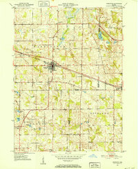 1950 Pierceton1952 Print · USGSIndiana's farm country and glacial lake districts are captured here in the early fifties, centered on the railroad town of Pierceton. Trace family roots at Washington-Union Cemetery, locate the Consolidated School, or explore the shores of Robinson and Sellers Lake.2 unique versions available
 - 1953 Map of Fort Wayne, 1963 Print
 1953 Fort Wayne1963 Print · USGSNortheast Indiana and its neighboring borderlands in Michigan and Ohio appear here during a peak era of rail and road expansion. Researchers can trace the massive rail networks of the Nickel Plate Road and Wabash or locate lakeside landmarks like Lake Wawasee and Clear Lake.4 unique versions available
 - 1956 Map of Fort Wayne
 1956 Fort Wayne1956 Print · USGSThe tri-state borderlands of Indiana, Michigan, and Ohio are captured here in the mid-fifties, centered on the growing industrial hub of Fort Wayne. Researchers can trace the heavy rail lines of the New York Central and Pennsylvania alongside prominent water features like Lake Wawasee and the Maumee River.2 unique versions available
 - 1956 Map of Lorane, 1958 Print
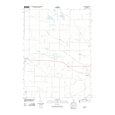
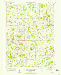 1956 Lorane1958 Print · USGSMid-century Whitley County reflects a quiet era of lakeside camps and rail-side villages. Genealogists and local researchers can trace family landmarks like Troy Cem, identify the location of the Township Sch, and follow the Pennsylvania railroad line through Larwill.
 - 1962 Map of Pierceton, 1964 Print
 1962 Pierceton1964 Print · USGSNortheastern Indiana during the early 1960s shows a landscape of glacial lakes and small-town rail hubs. Trace the paths of the Pennsylvania Railroad and Lincoln Highway past Hillcrest Cem and Sellers Lake.2 unique versions available
 - 1965 Map of Lorane, 1966 Print
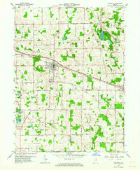
 1965 Lorane1966 Print · USGSWhitley County is shown here in the mid-1960s as a landscape of agricultural drainage and lakeside communities. Genealogists can trace family names via Adams Cemetery or locate local centers like Larwill, Bethel Church, and the Township Sch.
 - 1984 Map of Fort Wayne, 1985 Print
 1984 Fort Wayne1985 Print · USGSNortheast Indiana in the mid-1980s reveals a complex landscape of glacial lakes, thriving college towns, and heavy rail infrastructure. Researchers can trace the development of Winona Lake, locate Manchester College in North Manchester, and find rural landmarks like Oakwood Cem or the Tri-County State Fish and Game Area.
 - 1994 Map of Fort Wayne
 1994 Fort Wayne1994 Print · USGSNortheast Indiana in the mid-nineties shows a landscape deeply tied to its glacial lakes and early rail networks. Genealogists and historians can trace old transit lines like the Old Ind RR and explore lakeside settlements such as Enchanted Hills and Syracuse.
 - 2010 Map of Lorane, 2010 Print
 2010 Lorane2010 Print · USGSCovers Larwill, including Columbia City, Lorane, and other nearby areas
 - 2010 Map of Pierceton, 2010 Print
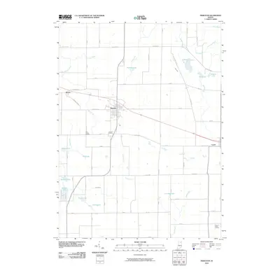 2010 Pierceton2010 Print · USGSCovers Larwill, including Pierceton, Wooster, and other nearby areas
 - 2013 Map of Pierceton, 2013 Print
 2013 Pierceton2013 Print · USGSCovers Larwill, including Pierceton, Wooster, and other nearby areas
 - 2013 Map of Lorane, 2013 Print
 2013 Lorane2013 Print · USGSCovers Larwill, including Columbia City, Lorane, and other nearby areas
 - 2016 Map of Pierceton, 2016 Print
 2016 Pierceton2016 Print · USGSCovers Larwill, including Pierceton, Wooster, and other nearby areas
 - 2016 Map of Lorane, 2016 Print
 2016 Lorane2016 Print · USGSCovers Larwill, including Columbia City, Lorane, and other nearby areas
 - 2019 Map of Lorane, 2019 Print
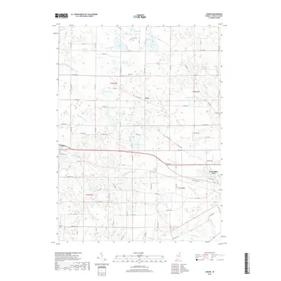 2019 Lorane2019 Print · USGSCovers Larwill, including Columbia City, Lorane, and other nearby areas
 - 2019 Map of Pierceton, 2019 Print
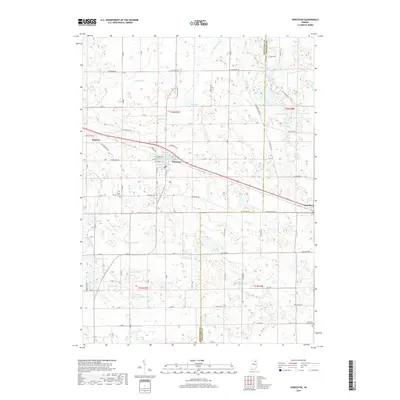 2019 Pierceton2019 Print · USGSCovers Larwill, including Pierceton, Wooster, and other nearby areas
 - 2022 Map of Pierceton, 2022 Print
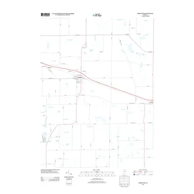
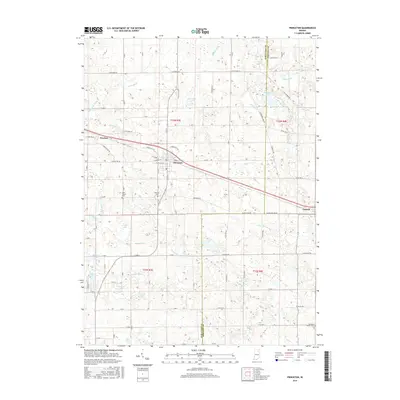
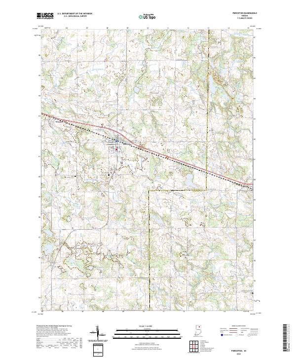 2022 Pierceton2022 Print · USGSNorthern Indiana's glacial landscape is captured in this modern survey of the area around Pierceton and Larwill. Local historians can trace the rural road networks and find established sites like Saint Francis Cem, Hillcrest Cem, and Pierceton Lake.
 - 2023 Map of Lorane, 2023 Print
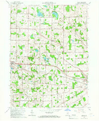
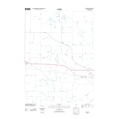
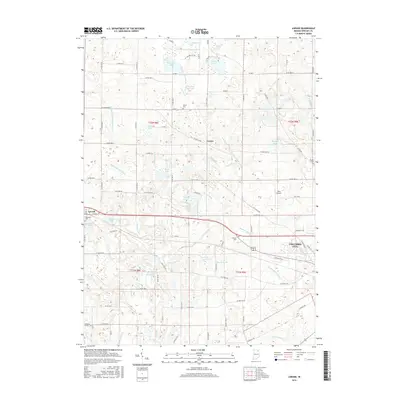
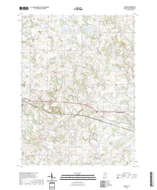 2023 Lorane2023 Print · USGSWhitley County at the start of the 2020s shows a landscape of small glacial lakes and rural townships. Researchers can trace family history through sites like Lakeview Cem in Larwill or locate landmarks like Troy Cedar Lake and Lorane.
End of results
Showing maps 1-18 of 18
Top cities near Larwill
- Warsaw historical maps
- Columbia City historical maps
- North Manchester historical maps
- Winona Lake historical maps
- Syracuse historical maps
- Albion historical maps
See more
Frequently asked questions
- What are the different types of historical maps available for Larwill?
- What is the oldest map of Larwill?
- Where can I purchase historical maps of Larwill for my home or office?
- Where can I download high-res historical maps of Larwill?
- Are there historical topographic maps available for Larwill?
- Is there historical aerial imagery available for Larwill?
- Where are historical maps of Larwill sourced from?