2000s (21st Century) Maps of Larwill, Indiana
Explore 10 historic maps of Larwill from the 2000s (21st Century). These maps offer a rare glimpse into what life looked like during the 2000s — showing old roads, neighborhoods, homes, and landmarks that have changed or disappeared over time.
Whether you're researching your family's past, planning a metal detecting trip, or studying how Larwill's landscape evolved across the 2000s, these high-resolution maps are a powerful tool for exploring the history of this region.
- Focus on a specific era: All maps on this page are from the 2000s, giving you a focused view of this time period.
- See what’s changed: Compare century-old streets, trails, and buildings to today's modern landscape using overlays and satellite layers.
- Research with precision: Use these maps for genealogy, historical research, land use analysis, or educational projects.
- View, download, or print: Maps are fully viewable online in high resolution, and can be downloaded or printed for your own records.
Start exploring Larwill's history through authentic maps from the 2000s. This is your window into the past.
Larwill, IN maps
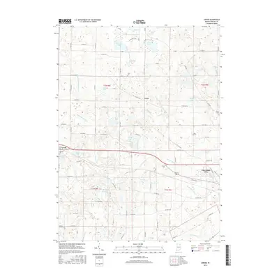
(10)- 2010 Map of Lorane, 2010 Print
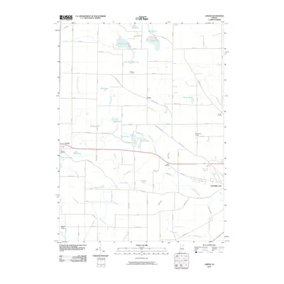 2010 Lorane2010 Print · USGSCovers Larwill, including Columbia City, Lorane, and other nearby areas
 - 2010 Map of Pierceton, 2010 Print
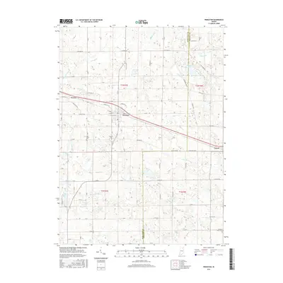
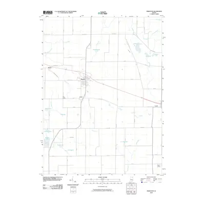 2010 Pierceton2010 Print · USGSCovers Larwill, including Pierceton, Wooster, and other nearby areas
 - 2013 Map of Pierceton, 2013 Print
 2013 Pierceton2013 Print · USGSCovers Larwill, including Pierceton, Wooster, and other nearby areas
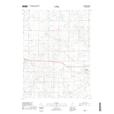
 - 2013 Map of Lorane, 2013 Print
 2013 Lorane2013 Print · USGSCovers Larwill, including Columbia City, Lorane, and other nearby areas
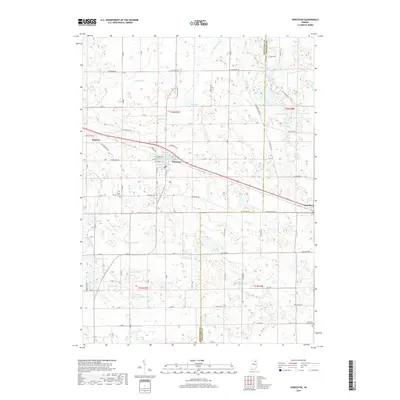
 - 2016 Map of Pierceton, 2016 Print
 2016 Pierceton2016 Print · USGSCovers Larwill, including Pierceton, Wooster, and other nearby areas
 - 2016 Map of Lorane, 2016 Print
 2016 Lorane2016 Print · USGSCovers Larwill, including Columbia City, Lorane, and other nearby areas
 - 2019 Map of Lorane, 2019 Print
 2019 Lorane2019 Print · USGSCovers Larwill, including Columbia City, Lorane, and other nearby areas
 - 2019 Map of Pierceton, 2019 Print
 2019 Pierceton2019 Print · USGSCovers Larwill, including Pierceton, Wooster, and other nearby areas
 - 2022 Map of Pierceton, 2022 Print
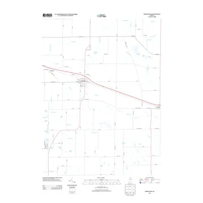
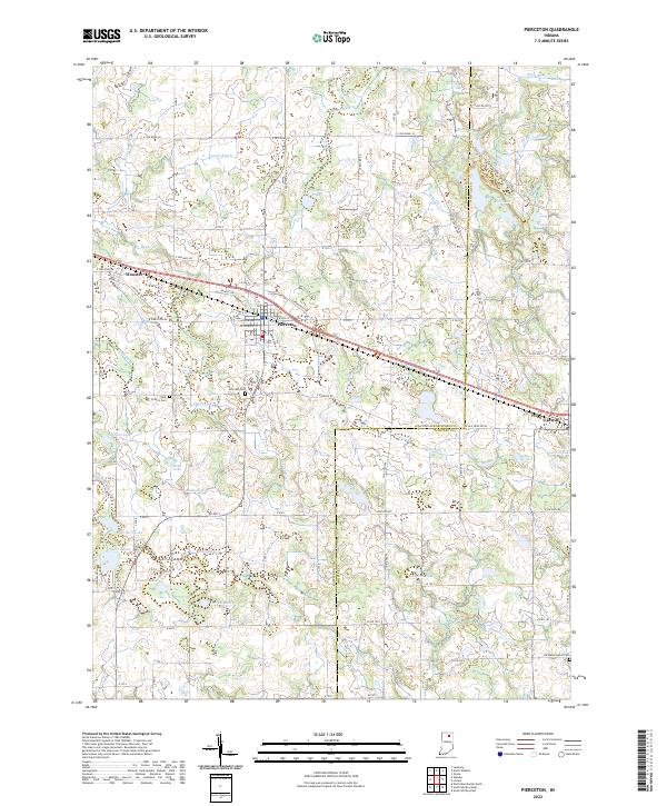 2022 Pierceton2022 Print · USGSNorthern Indiana's glacial landscape is captured in this modern survey of the area around Pierceton and Larwill. Local historians can trace the rural road networks and find established sites like Saint Francis Cem, Hillcrest Cem, and Pierceton Lake.
 - 2023 Map of Lorane, 2023 Print
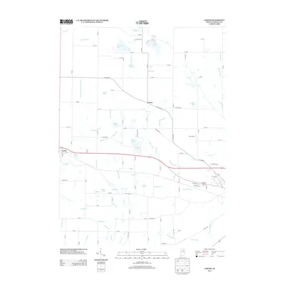
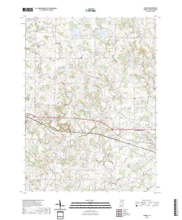 2023 Lorane2023 Print · USGSWhitley County at the start of the 2020s shows a landscape of small glacial lakes and rural townships. Researchers can trace family history through sites like Lakeview Cem in Larwill or locate landmarks like Troy Cedar Lake and Lorane.
End of results
Showing maps 1-10 of 10
Top cities near Larwill
- Warsaw historical maps
- Columbia City historical maps
- North Manchester historical maps
- Winona Lake historical maps
- Syracuse historical maps
- Albion historical maps
See more
Frequently asked questions
- What are the different types of historical maps available for Larwill?
- What is the oldest map of Larwill?
- Where can I purchase historical maps of Larwill for my home or office?
- Where can I download high-res historical maps of Larwill?
- Are there historical topographic maps available for Larwill?
- Is there historical aerial imagery available for Larwill?
- Where are historical maps of Larwill sourced from?