2000s (21st Century) Maps of Corning, Iowa
Explore 20 historic maps of Corning from the 2000s (21st Century). These maps offer a rare glimpse into what life looked like during the 2000s — showing old roads, neighborhoods, homes, and landmarks that have changed or disappeared over time.
Whether you're researching your family's past, planning a metal detecting trip, or studying how Corning's landscape evolved across the 2000s, these high-resolution maps are a powerful tool for exploring the history of this region.
- Focus on a specific era: All maps on this page are from the 2000s, giving you a focused view of this time period.
- See what’s changed: Compare century-old streets, trails, and buildings to today's modern landscape using overlays and satellite layers.
- Research with precision: Use these maps for genealogy, historical research, land use analysis, or educational projects.
- View, download, or print: Maps are fully viewable online in high resolution, and can be downloaded or printed for your own records.
Start exploring Corning's history through authentic maps from the 2000s. This is your window into the past.
Corning, IA maps
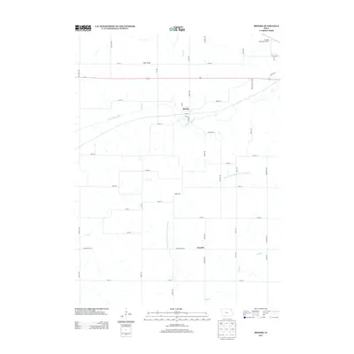
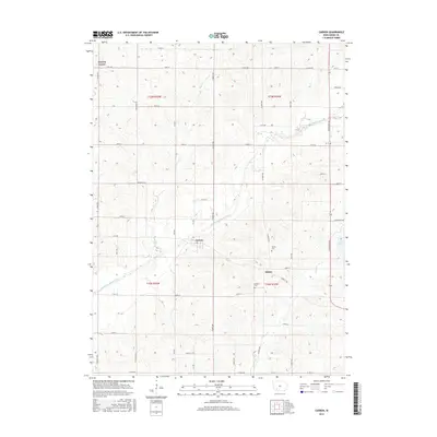
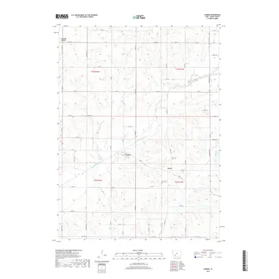
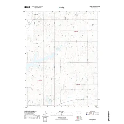
(20)- 2010 Map of Carbon, 2010 Print
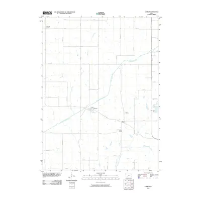 2010 Carbon2010 Print · USGSCovers Corning, including Carbon, Quincy, and other nearby areas
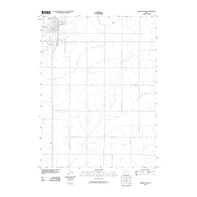
 - 2010 Map of Corning North, 2010 Print
 2010 Corning North2010 Print · USGSCovers Corning, including Mount Etna, Carl, and other nearby areas
 - 2010 Map of Corning South, 2010 Print
 2010 Corning South2010 Print · USGSCovers Corning, including Holt, Mercer, and other nearby areas
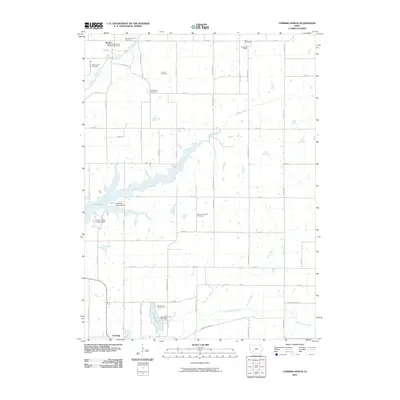
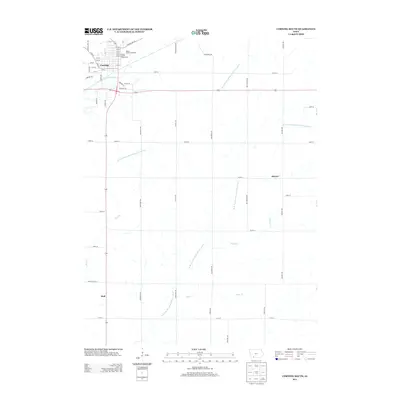
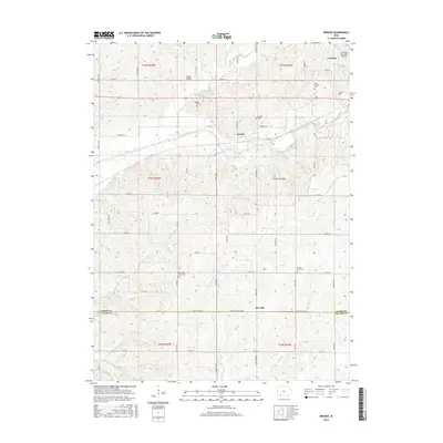
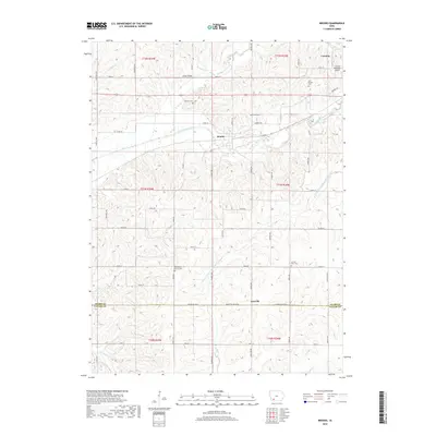
 - 2010 Map of Brooks, 2010 Print
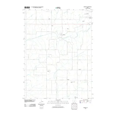 2010 Brooks2010 Print · USGSCovers Corning, including Brooks, Iveyville, and other nearby areas
 - 2013 Map of Brooks, 2013 Print
 2013 Brooks2013 Print · USGSCovers Corning, including Brooks, Iveyville, and other nearby areas
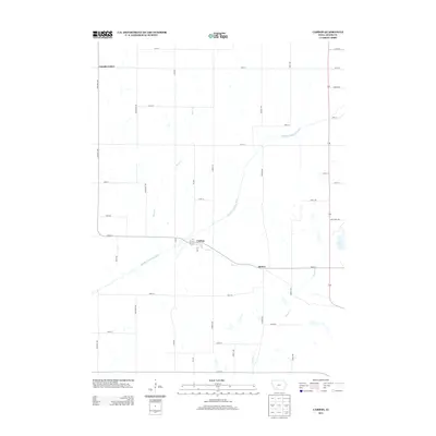
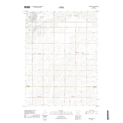
 - 2013 Map of Corning South, 2013 Print
 2013 Corning South2013 Print · USGSCovers Corning, including Holt, Mercer, and other nearby areas
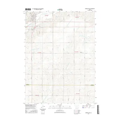
 - 2013 Map of Carbon, 2013 Print
 2013 Carbon2013 Print · USGSCovers Corning, including Carbon, Quincy, and other nearby areas
 - 2013 Map of Corning North, 2013 Print
 2013 Corning North2013 Print · USGSCovers Corning, including Mount Etna, Carl, and other nearby areas
 - 2015 Map of Carbon, 2015 Print
 2015 Carbon2015 Print · USGSCovers Corning, including Carbon, Quincy, and other nearby areas
 - 2015 Map of Corning North, 2015 Print
 2015 Corning North2015 Print · USGSCovers Corning, including Mount Etna, Carl, and other nearby areas
 - 2015 Map of Brooks, 2015 Print
 2015 Brooks2015 Print · USGSCovers Corning, including Brooks, Iveyville, and other nearby areas
 - 2015 Map of Corning South, 2015 Print
 2015 Corning South2015 Print · USGSCovers Corning, including Holt, Mercer, and other nearby areas
 - 2018 Map of Carbon, 2018 Print
 2018 Carbon2018 Print · USGSCovers Corning, including Carbon, Quincy, and other nearby areas
 - 2018 Map of Corning North, 2018 Print
 2018 Corning North2018 Print · USGSCovers Corning, including Mount Etna, Carl, and other nearby areas
 - 2018 Map of Brooks, 2018 Print
 2018 Brooks2018 Print · USGSCovers Corning, including Brooks, Iveyville, and other nearby areas
 - 2018 Map of Corning South, 2018 Print
 2018 Corning South2018 Print · USGSCovers Corning, including Holt, Mercer, and other nearby areas
 - 2022 Map of Brooks, 2022 Print
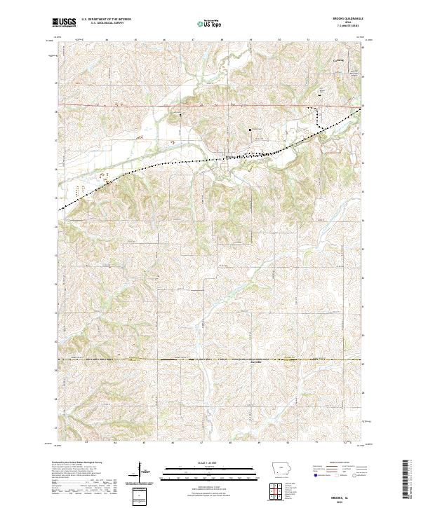 2022 Brooks2022 Print · USGSThe Adams and Taylor County line comes into focus in this recent survey of southwest Iowa. Genealogists can trace family heritage at Old Brooks Cem and Baldwin Cem while following the path of the East Nodaway River.
 - 2022 Map of Corning South, 2022 Print
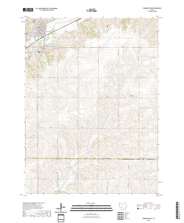 2022 Corning South2022 Print · USGSSouth of the Adams County seat in the early twenty-first century, this landscape shows the intersection of Iowa's river valleys and rural homesteads. Genealogists can locate family landmarks at the Icarian Cem, Calvary Cem, or trace the heritage of Corning.
 - 2022 Map of Carbon, 2022 Print
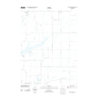
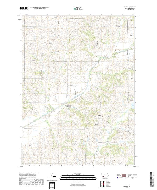 2022 Carbon2022 Print · USGSThe rural landscape of Adams County comes into focus in this contemporary survey of Carbon and Quincy. Researchers can trace the drainage of the Middle Nodaway River and locate local landmarks such as Oakland Cem and the shores of Lake Icaria.
 - 2022 Map of Corning North, 2022 Print
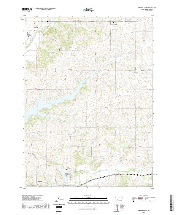 2022 Corning North2022 Print · USGSThis Adams County landscape near the headwaters of the Nodaway River shows the transition from early settlement sites to modern recreation areas. Researchers can trace family history through numerous rural burial grounds like Old Queen City Cem and Homan Cem while locating the early foundations of Mount Etna and Carl.
End of results
Showing maps 1-20 of 20
Top cities near Corning
- Lenox historical maps
- Villisca historical maps
- Prescott historical maps
- Nodaway historical maps
- Sharpsburg historical maps
- Carbon historical maps
Frequently asked questions
- What are the different types of historical maps available for Corning?
- What is the oldest map of Corning?
- Where can I purchase historical maps of Corning for my home or office?
- Where can I download high-res historical maps of Corning?
- Are there historical topographic maps available for Corning?
- Is there historical aerial imagery available for Corning?
- Where are historical maps of Corning sourced from?