Old Maps of Keystone, Iowa for Hiking & Exploration
Hike through history with 20 historic maps of Keystone. Explore old trails, ghost towns, and forgotten backroads — perfect for outdoor adventurers and local explorers.
- Rediscover forgotten places: Map out old mining camps, roads, and footpaths that no longer exist on modern maps.
- Layer with modern tools: Combine with LiDAR or satellite views to plan hikes through historical terrain.
- Made for exploration: Popular among hikers, overlanders, and local history lovers.
Use these maps to find adventure and explore the hidden past of Keystone.
Keystone, IA maps
(20)- 1954 Map of Waterloo, 1968 Print
 1954 Waterloo1968 Print · USGSCentral Iowa at the height of its mid-century agricultural and rail boom features the growing hubs of Waterloo and Cedar Falls. Genealogists and researchers can trace the rail corridors of the Chicago Great Western and find local landmarks like Iowa State College and Brushy Ridge.4 unique versions available
 - 1954 Map of Des Moines, 1973 Print
 1954 Des Moines1973 Print · USGSCentral Iowa's evolving landscape is captured here in the early seventies, just as major reservoirs were reshaping the river valleys. Genealogists and historians can trace the rail corridors of the Burlington Northern or locate family roots near Pella, Indianola, and Knoxville.2 unique versions available
 - 1955 Map of Waterloo
 1955 Waterloo1955 Print · USGSCentral Iowa in the mid-fifties presents a dense landscape of rail-connected farming towns and growing river cities. Researchers can trace ancestral roots and old transport routes through Waterloo, Marshalltown, and Ames, while locating rural Cemeteries and local Quarries.2 unique versions available
 - 1956 Map of Des Moines
 1956 Des Moines1956 Print · USGSCentral Iowa in the mid-fifties shows a landscape defined by bustling rail hubs and deep-rooted agricultural research. Genealogists and researchers can trace the growth of Des Moines and Ames, locate the Sac and Fox Indian Reservation, or study the paths of the Skunk River and South Skunk River.
 - 1957 Map of Des Moines
 1957 Des Moines1957 Print · USGSCentral Iowa's post-war landscape is defined here by the converging rail lines and river valleys that shaped its earliest settlements. Genealogists and historians can trace the paths of the Rock Island Railroad and locate community landmarks in Des Moines, Ames, and Newton.
 - 1965 Map of Keystone South, 1966 Print
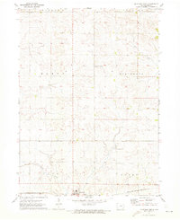
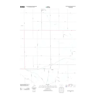
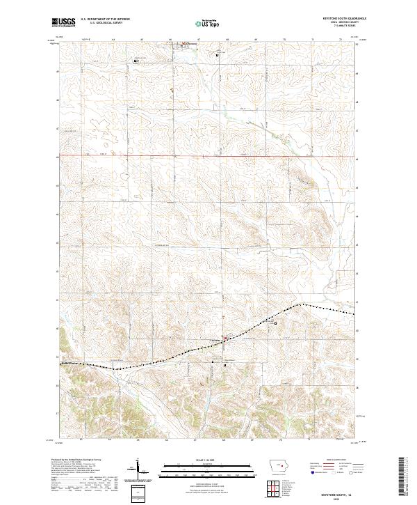
 1965 Keystone South1966 Print · USGSBenton County agriculture and transit dominate the landscape in the mid-sixties, defined by the crossing of two major rail lines. Genealogists can trace family footprints through several burial sites like Holy Cross Cem, Lutheran Cem, and International Cem.
 - 1969 Map of Des Moines
 1969 Des Moines1969 Print · USGSCentral Iowa's fertile plains and growing capital are captured here during the late sixties, a time of major highway expansion and reservoir construction. Genealogists and researchers can trace rural township boundaries, local cemeteries, and rail lines serving towns like Pella, Grinnell, and Oskaloosa.
 - 1971 Map of Keystone North, 1973 Print
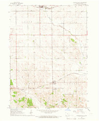
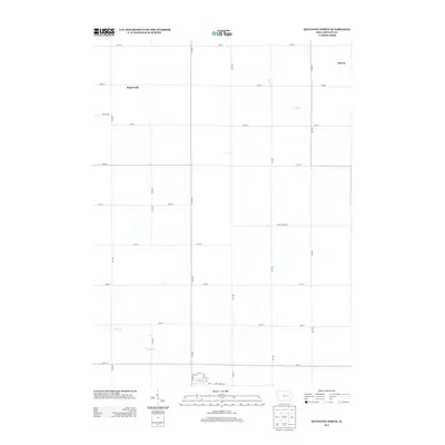
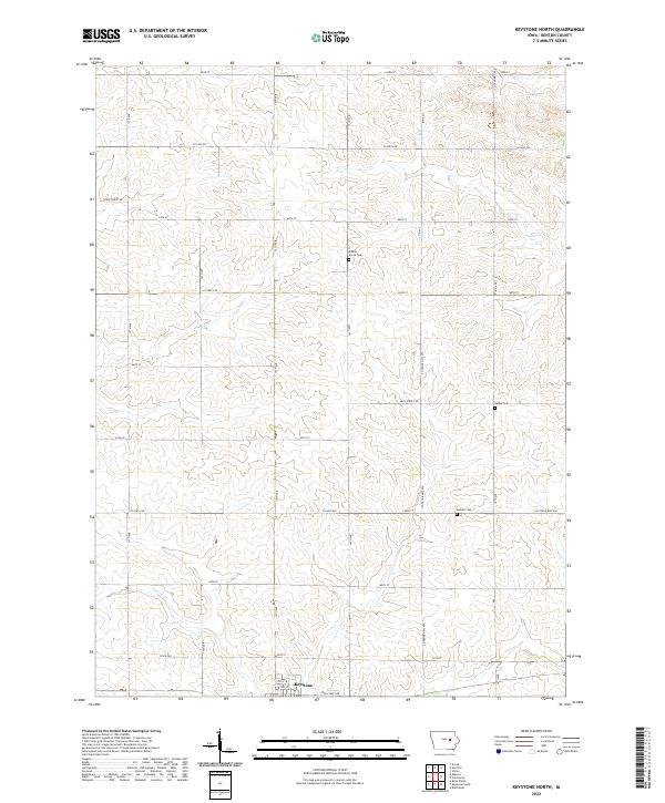
 1971 Keystone North1973 Print · USGSBenton County farmland in the early seventies centers on the rail-side community of Keystone and its surrounding townships. Genealogists and local historians can trace rural landmarks and family burial sites like La Rue Cem and Bender Cem along the banks of Mud Creek.
 - 1984 Map of Marshalltown, 1985 Print
 1984 Marshalltown1985 Print · USGSMid-Iowa's agricultural landscape and river corridors come alive in the mid-eighties as the Cedar River connects industrial hubs and small farm towns. Trace the tracks of the CHICAGO AND NORTHWESTERN or locate local landmarks like Union Grove State Park and Cedar Falls Junction.2 unique versions available
 - 1984 Map of Grinnell, 1985 Print
 1984 Grinnell1985 Print · USGSCentral Iowa's prairie towns and rail corridors are captured in the mid-1980s, showcasing the agricultural grid and protected marshlands. Researchers can trace historic routes along the Chicago and North Western or locate family roots near the Sac and Fox Indian Reservation and Lake Ponderosa.2 unique versions available
 - 2010 Map of Keystone South, 2010 Print
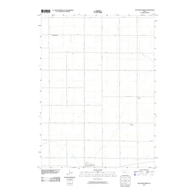
 2010 Keystone South2010 Print · USGSCovers Keystone, including Luzerne, Benton County, and other nearby areas
 - 2010 Map of Keystone North, 2010 Print
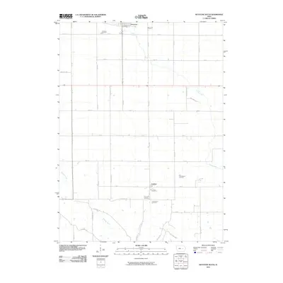
 2010 Keystone North2010 Print · USGSCovers Keystone, including Benton County, United States, and other nearby areas
 - 2013 Map of Keystone South, 2013 Print
 2013 Keystone South2013 Print · USGSCovers Keystone, including Luzerne, Benton County, and other nearby areas
 - 2013 Map of Keystone North, 2013 Print
 2013 Keystone North2013 Print · USGSCovers Keystone, including Benton County, United States, and other nearby areas
 - 2015 Map of Keystone North, 2015 Print
 2015 Keystone North2015 Print · USGSCovers Keystone, including Benton County, United States, and other nearby areas
 - 2015 Map of Keystone South, 2015 Print
 2015 Keystone South2015 Print · USGSCovers Keystone, including Luzerne, Benton County, and other nearby areas
 - 2018 Map of Keystone North, 2018 Print
 2018 Keystone North2018 Print · USGSCovers Keystone, including Benton County, United States, and other nearby areas
 - 2018 Map of Keystone South, 2018 Print
 2018 Keystone South2018 Print · USGSCovers Keystone, including Luzerne, Benton County, and other nearby areas
 - 2022 Map of Keystone South, 2022 Print
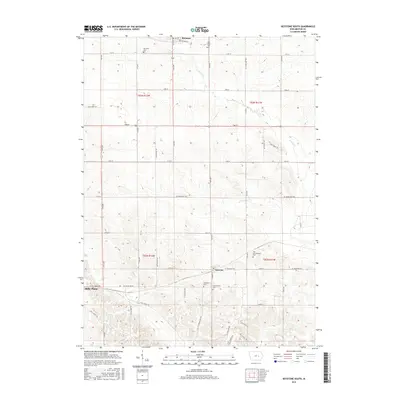
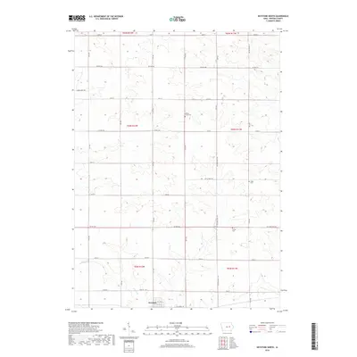
 2022 Keystone South2022 Print · USGSBenton County, Iowa, is shown in this modern survey as a landscape of structured farmsteads and scattered rural settlements. Genealogists can trace family footprints across several local burial grounds, such as Holy Cross Cem and the Old International Cem near Luzerne.
 - 2022 Map of Keystone North, 2022 Print
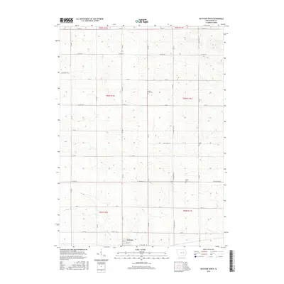
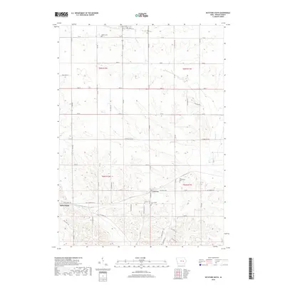
 2022 Keystone North2022 Print · USGSBenton County agriculture and small-town life are documented here during the early twenty-first century. Genealogists and local historians can pinpoint rural landmarks like Bishop Grove Cem, Bender Cem, and the streets of Keystone.
End of results
Showing maps 1-20 of 20
Top cities near Keystone
- Vinton historical maps
- Marengo historical maps
- Belle Plaine historical maps
- Dysart historical maps
- Newhall historical maps
- Van Horne historical maps
See more
Frequently asked questions
- What are the different types of historical maps available for Keystone?
- What is the oldest map of Keystone?
- Where can I purchase historical maps of Keystone for my home or office?
- Where can I download high-res historical maps of Keystone?
- Are there historical topographic maps available for Keystone?
- Is there historical aerial imagery available for Keystone?
- Where are historical maps of Keystone sourced from?