2020s Maps of Vinton, Iowa
Explore 2 historic maps of Vinton from the 2020s. These maps offer a rare glimpse into what life looked like during the 2020s — showing old roads, neighborhoods, homes, and landmarks that have changed or disappeared over time.
Whether you're researching your family's past, planning a metal detecting trip, or studying how Vinton's landscape evolved across the 2020s, these high-resolution maps are a powerful tool for exploring the history of this region.
- Focus on a specific era: All maps on this page are from the 2020s, giving you a focused view of this time period.
- See what’s changed: Compare century-old streets, trails, and buildings to today's modern landscape using overlays and satellite layers.
- Research with precision: Use these maps for genealogy, historical research, land use analysis, or educational projects.
- View, download, or print: Maps are fully viewable online in high resolution, and can be downloaded or printed for your own records.
Start exploring Vinton's history through authentic maps from the 2020s. This is your window into the past.
Vinton, IA maps
(2)- 2022 Map of Center Point NW, 2022 Print
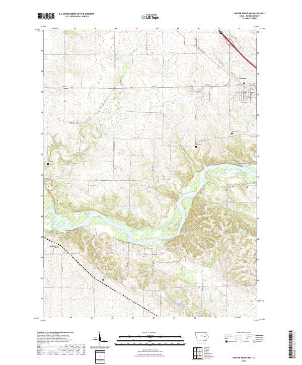 2022 Center Point NW2022 Print · USGSBenton County farmland and river bluffs are captured here in the early twenty-first century, showing the rural landscape between Vinton and Urbana. Researchers can locate family heritage sites like Pettit Hill Cem or trace the winding Cedar River past Wildcat Bluff.
 - 2022 Map of Vinton, 2022 Print
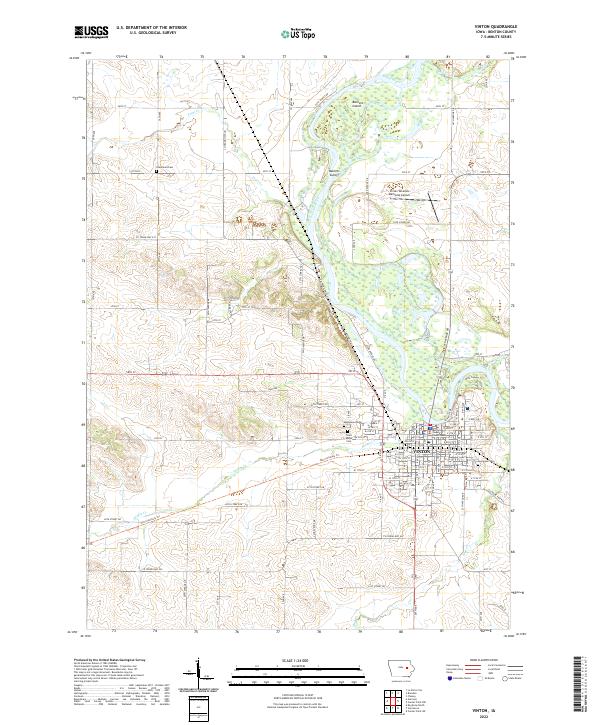 2022 Vinton2022 Print · USGSBenton County and the town of Vinton are shown here along the banks of the Cedar River in the early 2020s. Researchers can locate the Benton County Courthouse and family burial sites at Evergreen Cem or Greenwalt Cem.
End of results
Showing maps 1-2 of 2
Top cities near Vinton
- La Porte City historical maps
- Atkins historical maps
- Urbana historical maps
- Palo historical maps
- Shellsburg historical maps
- Newhall historical maps
See more
Frequently asked questions
- What are the different types of historical maps available for Vinton?
- What is the oldest map of Vinton?
- Where can I purchase historical maps of Vinton for my home or office?
- Where can I download high-res historical maps of Vinton?
- Are there historical topographic maps available for Vinton?
- Is there historical aerial imagery available for Vinton?
- Where are historical maps of Vinton sourced from?