Old Maps of Vinton, Iowa for Genealogy
Trace your family roots with 24 historic maps of Vinton. These high-res maps reveal old neighborhoods, homesites, landmarks, and streets — helping you uncover where your ancestors lived and how the area evolved over time.
- Explore historic neighborhoods: Identify where your relatives may have lived in the 1800s or 1900s.
- Compare maps over time: Trace the changes in streets, buildings, and landmarks for multi-generational research.
- Perfect for genealogy & ancestry research: Used by family historians and researchers to map out lineage and migration.
These maps are an incredible resource for exploring your personal connection to Vinton's past.
Vinton, IA maps
(24)- 1888 Map of Shellsburg
 1888 Shellsburg1888 Print · USGSBenton and Linn Counties come alive in this late nineteenth-century survey of the eastern Iowa heartland. Local historians can trace the early rail-side growth of Shellsburg and Palo or follow the winding Cedar River past Opossum Creek and Urbana.
 - 1889 Map of Shellsburg
 1889 Shellsburg1889 Print · USGSBenton and Linn Counties come alive in the late 1880s as the rail-driven economy begins to reshape the Iowa prairie. Researchers can trace the early development of Shellsburg and Center Point along the Burlington Cedar Rapids and Northern Railroad.
 - 1899 Map of Shellsburg, 1910 Print
 1899 Shellsburg1910 Print · USGSThe Cedar River valley in the late nineteenth century was a landscape of expanding rail lines and river-fronting townships. Trace the early footprints of Shellsburg, Center Point, and Palo along the route of the Burlington Cedar Rapids and Northern Railroad.
 - 1903 Map of Winthrop
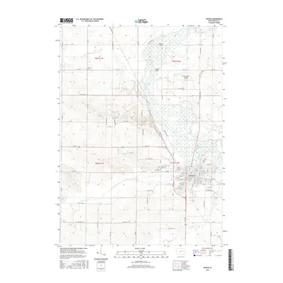
 1903 Winthrop1903 Print · USGSEast Central Iowa was a landscape of thriving rail towns and river crossings at the turn of the century. Genealogists and historians can trace the early footprints of Independence and Marion, or locate smaller centers like Quasqueton and Toddville.2 unique versions available
 - 1954 Map of Waterloo, 1968 Print
 1954 Waterloo1968 Print · USGSCentral Iowa at the height of its mid-century agricultural and rail boom features the growing hubs of Waterloo and Cedar Falls. Genealogists and researchers can trace the rail corridors of the Chicago Great Western and find local landmarks like Iowa State College and Brushy Ridge.4 unique versions available
 - 1955 Map of Waterloo
 1955 Waterloo1955 Print · USGSCentral Iowa in the mid-fifties presents a dense landscape of rail-connected farming towns and growing river cities. Researchers can trace ancestral roots and old transport routes through Waterloo, Marshalltown, and Ames, while locating rural Cemeteries and local Quarries.2 unique versions available
 - 1959 Map of Dubuque, 1982 Print
 1959 Dubuque1982 Print · USGSThe Tri-State region comes alive in the mid-twentieth century as a hub of river commerce and rail transit. Genealogists and historians can trace the paths of the Illinois Central Gulf through Dubuque or locate the Savanna Ordnance Depot and Lock and Dam No 11.
 - 1961 Map of Dubuque
 1961 Dubuque1961 Print · USGSThe Tri-State region's river-and-rail landscape is captured here during the early sixties, showing the convergence of Iowa, Illinois, and Wisconsin. Trace mid-century rail lines like the Chicago Great Western Ry and explore sites like the Savanna Ordnance Depot and Backbone State Park.
 - 1962 Map of Dubuque
 1962 Dubuque1962 Print · USGSThe Tri-State region's river-and-rail economy is captured here in the early sixties, centered on the Mississippi River bluffs. Genealogists and historians can locate Numerous lead and zinc mines, the New Melleray Abbey Monastery, and rural hubs like Saint Olaf.2 unique versions available
 - 1968 Map of Center Point NW, 1971 Print
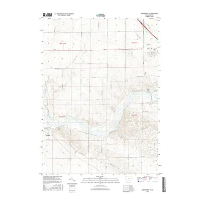
 1968 Center Point NW1971 Print · USGSBenton County in the late sixties remains a landscape of river-bend recreation and traditional township centers. Genealogists and local historians can trace family roots through sites like Urbana, the County Home, and Kushing Cem.
 - 1971 Map of Vinton, 1973 Print
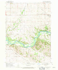
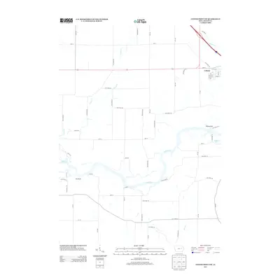
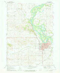 1971 Vinton1973 Print · USGSVinton thrives along the Cedar River in the early 1970s, defined by its rail connections and significant local institutions. Genealogists and historians can locate the Iowa Braille & Sightsaving Sch, the Fairground, and several family burial sites like Evergreen Cem.
 - 1976 Map of Dubuque
 1976 Dubuque1976 Print · USGSThe tri-state borderlands of Iowa, Wisconsin, and Illinois come alive during the mid-seventies, showing a region built on river commerce and mining. Genealogists and historians can trace the paths of the Illinois Central railroad or locate heritage sites like the New Melleray Abbey Monastery and Backbone State Park.
 - 1984 Map of Marshalltown, 1985 Print
 1984 Marshalltown1985 Print · USGSMid-Iowa's agricultural landscape and river corridors come alive in the mid-eighties as the Cedar River connects industrial hubs and small farm towns. Trace the tracks of the CHICAGO AND NORTHWESTERN or locate local landmarks like Union Grove State Park and Cedar Falls Junction.2 unique versions available
 - 1984 Map of Anamosa, 1985 Print
 1984 Anamosa1985 Print · USGSEastern Iowa's river valleys and farming communities are captured here in the mid-eighties, showing a landscape defined by the Wapsipinicon River and Maquoketa River. Genealogists and historians can locate legacy landmarks like the Independence State Hospital, Ebys Mill, and the State Penal Farm.2 unique versions available
 - 2010 Map of Vinton, 2010 Print
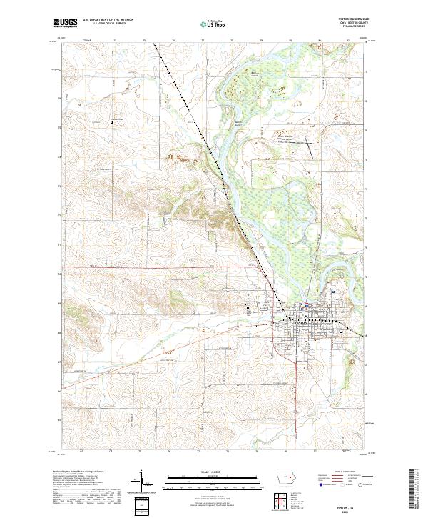
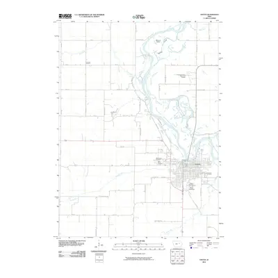 2010 Vinton2010 Print · USGSCovers Vinton, including Benton County, United States, and other nearby areas
 - 2010 Map of Center Point NW, 2010 Print
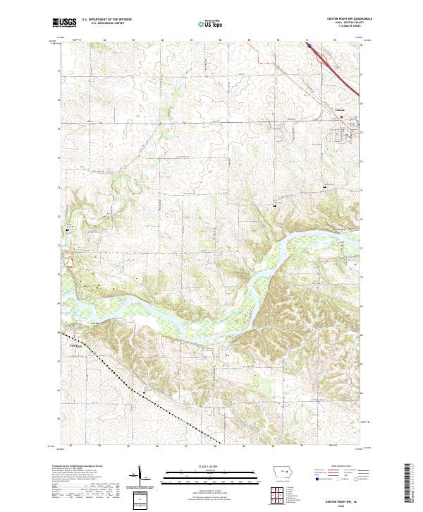
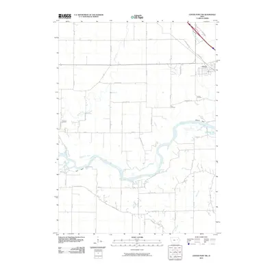 2010 Center Point NW2010 Print · USGSCovers Vinton, including Urbana, Benton County, and other nearby areas
 - 2013 Map of Center Point NW, 2013 Print
 2013 Center Point NW2013 Print · USGSCovers Vinton, including Urbana, Benton County, and other nearby areas
 - 2013 Map of Vinton, 2013 Print
 2013 Vinton2013 Print · USGSCovers Vinton, including Benton County, United States, and other nearby areas
 - 2015 Map of Vinton, 2015 Print
 2015 Vinton2015 Print · USGSCovers Vinton, including Benton County, United States, and other nearby areas
 - 2015 Map of Center Point NW, 2015 Print
 2015 Center Point NW2015 Print · USGSCovers Vinton, including Urbana, Benton County, and other nearby areas
 - 2018 Map of Vinton, 2018 Print
 2018 Vinton2018 Print · USGSCovers Vinton, including Benton County, United States, and other nearby areas
 - 2018 Map of Center Point NW, 2018 Print
 2018 Center Point NW2018 Print · USGSCovers Vinton, including Urbana, Benton County, and other nearby areas
 - 2022 Map of Center Point NW, 2022 Print
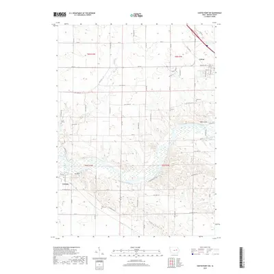
 2022 Center Point NW2022 Print · USGSBenton County farmland and river bluffs are captured here in the early twenty-first century, showing the rural landscape between Vinton and Urbana. Researchers can locate family heritage sites like Pettit Hill Cem or trace the winding Cedar River past Wildcat Bluff.
 - 2022 Map of Vinton, 2022 Print
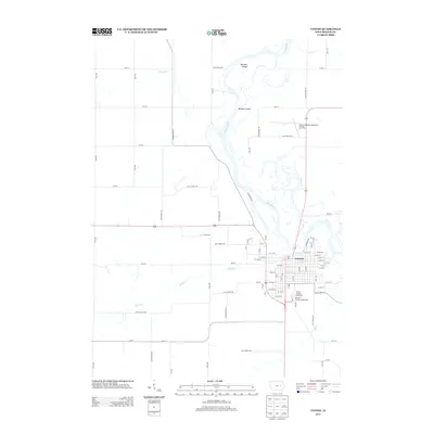
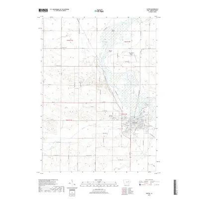
 2022 Vinton2022 Print · USGSBenton County and the town of Vinton are shown here along the banks of the Cedar River in the early 2020s. Researchers can locate the Benton County Courthouse and family burial sites at Evergreen Cem or Greenwalt Cem.
End of results
Showing maps 1-24 of 24
Top cities near Vinton
- La Porte City historical maps
- Atkins historical maps
- Urbana historical maps
- Palo historical maps
- Shellsburg historical maps
- Newhall historical maps
See more
Frequently asked questions
- What are the different types of historical maps available for Vinton?
- What is the oldest map of Vinton?
- Where can I purchase historical maps of Vinton for my home or office?
- Where can I download high-res historical maps of Vinton?
- Are there historical topographic maps available for Vinton?
- Is there historical aerial imagery available for Vinton?
- Where are historical maps of Vinton sourced from?