Old Maps of Garden Township, Iowa for Hiking & Exploration
Hike through history with 33 historic maps of Garden Township. Explore old trails, ghost towns, and forgotten backroads — perfect for outdoor adventurers and local explorers.
- Rediscover forgotten places: Map out old mining camps, roads, and footpaths that no longer exist on modern maps.
- Layer with modern tools: Combine with LiDAR or satellite views to plan hikes through historical terrain.
- Made for exploration: Popular among hikers, overlanders, and local history lovers.
Use these maps to find adventure and explore the hidden past of Garden Township.
Garden Township, IA maps
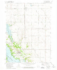
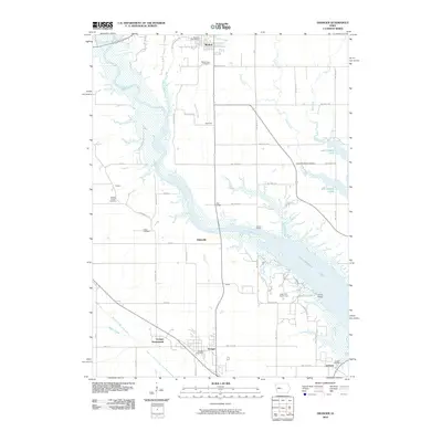
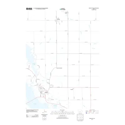
(33)- 1911 Map of Madrid, 1958 Print
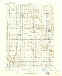
 1911 Madrid1958 Print · USGSBoone and Dallas counties appear here in the early twentieth century as a busy corridor of river-valley agriculture and rail transit. Researchers can trace dozens of early rural school sites like Hull School and Gildea School alongside the path of the Inter-Urban Railway.
 - 1911 Map of Slater, 1960 Print
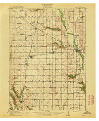
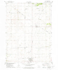
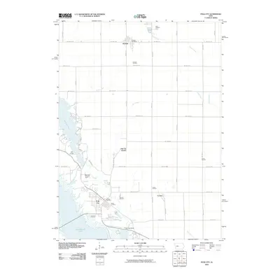
 1911 Slater1960 Print · USGSCentral Iowa at the dawn of the twentieth century was a landscape of rail-driven prairie towns and a schoolhouse at nearly every mile. Genealogists can trace the rural roots of local families through specific sites like Nip-and-tuck School, Polk City Junction, and Huxley.
 - 1913 Map of Slater
 1913 Slater1913 Print · USGSCentral Iowa's farm country and rail corridors are captured here just before the First World War, showing a landscape tightly knit by steam and electric lines. Genealogists can locate dozens of neighborhood landmarks like Nip-and-tuck School, the Sydnes School, and the early plats of Slater and Huxley.2 unique versions available
 - 1914 Map of Madrid
 1914 Madrid1914 Print · USGSCentral Iowa's river valleys and prairie townships come alive in the decade before the Great War, showing a landscape defined by rail lines and rural schoolhouses. Genealogists and historians can trace family roots through specific landmarks like Madrid, Woodward, and the Marcy Center School.3 unique versions available
 - 1954 Map of Des Moines, 1973 Print
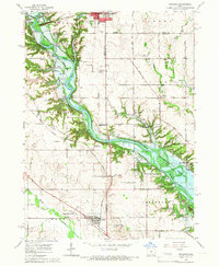
 1954 Des Moines1973 Print · USGSCentral Iowa's evolving landscape is captured here in the early seventies, just as major reservoirs were reshaping the river valleys. Genealogists and historians can trace the rail corridors of the Burlington Northern or locate family roots near Pella, Indianola, and Knoxville.2 unique versions available
 - 1956 Map of Des Moines
 1956 Des Moines1956 Print · USGSCentral Iowa in the mid-fifties shows a landscape defined by bustling rail hubs and deep-rooted agricultural research. Genealogists and researchers can trace the growth of Des Moines and Ames, locate the Sac and Fox Indian Reservation, or study the paths of the Skunk River and South Skunk River.
 - 1957 Map of Des Moines
 1957 Des Moines1957 Print · USGSCentral Iowa's post-war landscape is defined here by the converging rail lines and river valleys that shaped its earliest settlements. Genealogists and historians can trace the paths of the Rock Island Railroad and locate community landmarks in Des Moines, Ames, and Newton.
 - 1965 Map of Granger, 1966 Print
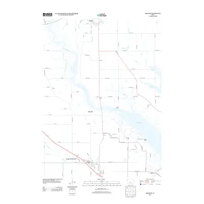
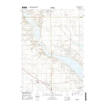
 1965 Granger1966 Print · USGSThe Des Moines River valley in the mid-sixties reveals a landscape undergoing transformation as the Saylorville Reservoir takes shape. Genealogists can locate family sites like Granger Homesteads or rural landmarks such as Hopkins Grove Cem and the Chestnut Ford Bridge.2 unique versions available
 - 1965 Map of Luther, 1967 Print
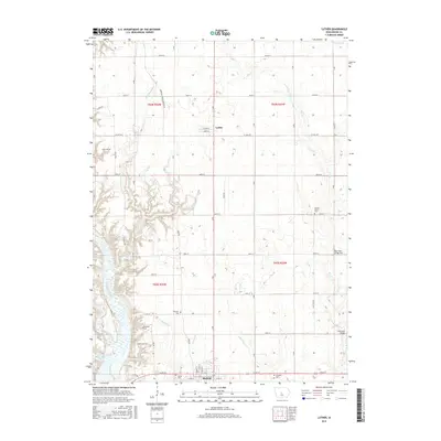
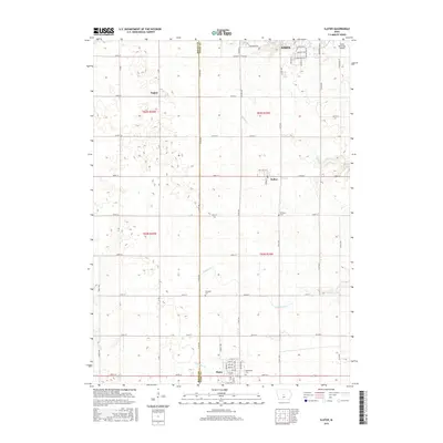
 1965 Luther1967 Print · USGSMid-century Boone County is captured here during a period of agricultural expansion and new water management projects. Genealogists and local historians can trace rural roots through landmarks like Garden Prairie Ch and the many family plots at Dalander Cem or Fairview Cem.2 unique versions available
 - 1969 Map of Des Moines
 1969 Des Moines1969 Print · USGSCentral Iowa's fertile plains and growing capital are captured here during the late sixties, a time of major highway expansion and reservoir construction. Genealogists and researchers can trace rural township boundaries, local cemeteries, and rail lines serving towns like Pella, Grinnell, and Oskaloosa.
 - 1972 Map of Polk City, 1975 Print
 1972 Polk City1975 Print · USGSCentral Iowa was undergoing a massive landscape shift in the early seventies as the Saylorville project took shape. Researchers can trace the original rail path of the Chicago and North Western and locate quiet rural landmarks like Sheldahl Cem and Crocker.2 unique versions available
 - 1975 Map of Slater, 1978 Print
 1975 Slater1978 Print · USGSStory County agricultural and rail networks are preserved here in the mid-seventies, showing the intersection of heavy rail lines and academic research. Genealogists and local historians can trace family roots through Bethany Cem or locate old rail spurs like the Chicago Milwaukee St Paul and Pacific near Slater and Kelley.
 - 1984 Map of Des Moines, 1985 Print
 1984 Des Moines1985 Print · USGSCentral Iowa's heartland is captured in the mid-1980s as suburban growth met long-standing farm and rail infrastructure. Genealogists and researchers can trace the reaches of the Chicago and North Western through Maxwell or locate Laurel Hill Cem and Camp Dodge Military Reservation.2 unique versions available
 - 2010 Map of Slater, 2010 Print
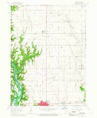
 2010 Slater2010 Print · USGSCovers Garden Township, including Ames, Slater, and other nearby areas
 - 2010 Map of Luther, 2010 Print
 2010 Luther2010 Print · USGSCovers Garden Township, including Madrid, Luther, and other nearby areas
 - 2010 Map of Granger, 2010 Print
 2010 Granger2010 Print · USGSCovers Garden Township, including Johnston, Madrid, and other nearby areas
 - 2010 Map of Polk City, 2010 Print
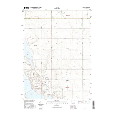
 2010 Polk City2010 Print · USGSCovers Garden Township, including Ankeny, Polk City, and other nearby areas
 - 2013 Map of Luther, 2013 Print
 2013 Luther2013 Print · USGSCovers Garden Township, including Madrid, Luther, and other nearby areas
 - 2013 Map of Slater, 2013 Print
 2013 Slater2013 Print · USGSCovers Garden Township, including Ames, Slater, and other nearby areas
 - 2013 Map of Polk City, 2013 Print
 2013 Polk City2013 Print · USGSCovers Garden Township, including Ankeny, Polk City, and other nearby areas
 - 2013 Map of Granger, 2013 Print
 2013 Granger2013 Print · USGSCovers Garden Township, including Johnston, Madrid, and other nearby areas
 - 2015 Map of Luther, 2015 Print
 2015 Luther2015 Print · USGSCovers Garden Township, including Madrid, Luther, and other nearby areas
 - 2015 Map of Slater, 2015 Print
 2015 Slater2015 Print · USGSCovers Garden Township, including Ames, Slater, and other nearby areas
 - 2015 Map of Granger, 2015 Print
 2015 Granger2015 Print · USGSCovers Garden Township, including Johnston, Madrid, and other nearby areas
 - 2015 Map of Polk City, 2015 Print
 2015 Polk City2015 Print · USGSCovers Garden Township, including Ankeny, Polk City, and other nearby areas
Showing maps 1-25 of 33
Top cities near Garden Township
- Ankeny historical maps
- Ames historical maps
- Johnston historical maps
- Grimes historical maps
- Boone historical maps
- Polk City historical maps
See more
Frequently asked questions
- What are the different types of historical maps available for Garden Township?
- What is the oldest map of Garden Township?
- Where can I purchase historical maps of Garden Township for my home or office?
- Where can I download high-res historical maps of Garden Township?
- Are there historical topographic maps available for Garden Township?
- Is there historical aerial imagery available for Garden Township?
- Where are historical maps of Garden Township sourced from?