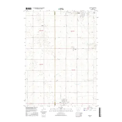
2015 Map of Slater
USGS Topo · Published 2015About this map
The border between Boone and Story counties defines this agricultural landscape, where the town of Slater stands as a primary hub. Situated along the southern edge of the survey, Slater features a structured grid of streets including Main St and 5th Ave, reflecting its role in the local rural economy. To the north, the small settlements of Kelley and Napier anchor the central and western sections of the township, while the Ames Municipal Airport occupies the northeastern corner, indicating the modern utility of the land. The terrain is drained by meandering waterways like Ballard Cr and Fourmile Cr, which cut through the section lines of the Public Land Survey System. For genealogists, the map preserves the locations of several burial sites, including Bethany Cem and Bethlehem Cem, which serve as quiet landmarks among the expansive network of county roads.
Find a feature on this map
39 named features on this map. Tap any name to fly to it.
Don’t see what you’re looking for? This feature index may not catch every label — zoom into the map to look around manually.
Map Details
Editions of this 2015 Slater Map
This is the sole edition of this map. No revisions or reprints were ever made.
Other maps of this area

1911 · Madrid
USGS Topo · 1:62,500

1911 · Slater
USGS Topo · 1:62,500

1912 · Ames
USGS Topo · 1:62,500

1913 · Slater
USGS Topo · 1:62,500

1914 · Madrid
USGS Topo · 1:62,500

1914 · Ames
USGS Topo · 1:62,500

1916 · Boone
USGS Topo · 1:62,500

1954 · Waterloo
USGS Topo · 1:250,000

1954 · Des Moines
USGS Topo · 1:250,000

1955 · Waterloo
USGS Topo · 1:250,000