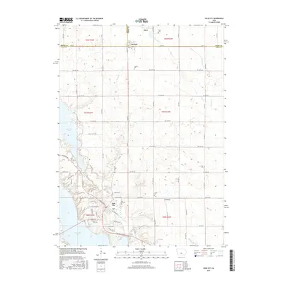
2015 Map of Polk City
USGS Topo · Published 2015About this map
Polk City sits as a central hub in this landscape, situated near the northern reach of Saylorville Lake and the southeastern shores of Big Creek Lake. The area is characterized by a high density of rural burial grounds, including the Beebe Cem, Polk City Cem, and the family-associated Davis Farm Cem. These landmarks, along with the Lincoln Cem and Crocker Cem near the settlement of Crocker, offer significant points of interest for genealogical research into the families of northern Polk County.
Find a feature on this map
82 named features on this map. Tap any name to fly to it.
Don’t see what you’re looking for? This feature index may not catch every label — zoom into the map to look around manually.
Map Details
Editions of this 2015 Polk City Map
This is the sole edition of this map. No revisions or reprints were ever made.
Other maps of this area

1905 · Des Moines
USGS Topo · 1:62,500

1907 · Des Moines
USGS Topo · 1:62,500

1908 · Waukee
USGS Topo · 1:62,500

1911 · Madrid
USGS Topo · 1:62,500

1911 · Slater
USGS Topo · 1:62,500

1913 · Slater
USGS Topo · 1:62,500

1914 · Madrid
USGS Topo · 1:62,500

1954 · Des Moines
USGS Topo · 1:250,000

1956 · Des Moines
USGS Topo · 1:250,000

1956 · Des Moines NW
USGS Topo · 1:24,000