Old Maps of Tripoli, Iowa for Hiking & Exploration
Hike through history with 15 historic maps of Tripoli. Explore old trails, ghost towns, and forgotten backroads — perfect for outdoor adventurers and local explorers.
- Rediscover forgotten places: Map out old mining camps, roads, and footpaths that no longer exist on modern maps.
- Layer with modern tools: Combine with LiDAR or satellite views to plan hikes through historical terrain.
- Made for exploration: Popular among hikers, overlanders, and local history lovers.
Use these maps to find adventure and explore the hidden past of Tripoli.
Tripoli, IA maps
(15)- 1954 Map of Waterloo, 1968 Print
 1954 Waterloo1968 Print · USGSCentral Iowa at the height of its mid-century agricultural and rail boom features the growing hubs of Waterloo and Cedar Falls. Genealogists and researchers can trace the rail corridors of the Chicago Great Western and find local landmarks like Iowa State College and Brushy Ridge.4 unique versions available
 - 1955 Map of Waterloo
 1955 Waterloo1955 Print · USGSCentral Iowa in the mid-fifties presents a dense landscape of rail-connected farming towns and growing river cities. Researchers can trace ancestral roots and old transport routes through Waterloo, Marshalltown, and Ames, while locating rural Cemeteries and local Quarries.2 unique versions available
 - 1971 Map of Sumner SW, 1973 Print
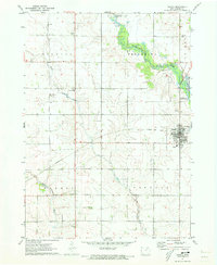
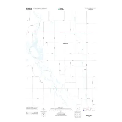
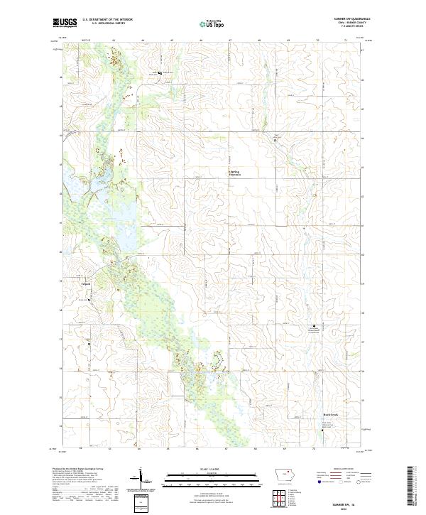
 1971 Sumner SW1973 Print · USGSBremer County's rural landscape is captured here in the early seventies, dominated by the winding course of the Wapsipinicon River. Genealogists and local historians can locate family landmarks like St Johns Cem, Grace Cem, and St Bridget Ch.
 - 1971 Map of Tripoli, 1973 Print
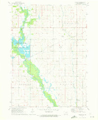
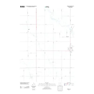
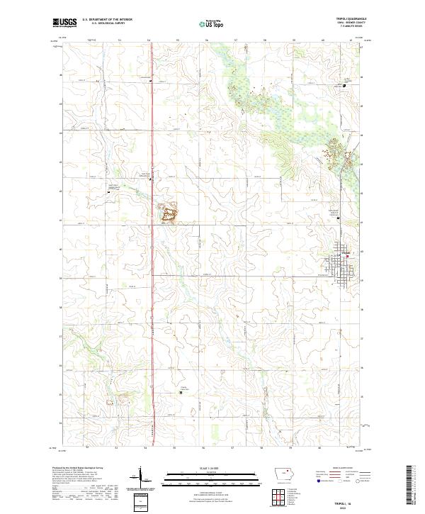
 1971 Tripoli1973 Print · USGSBremer County's rural landscape is captured here in the early seventies, centered on the community of Tripoli and the Wapsipinicon River. Researchers can locate several country churches and cemeteries, including Siegel St Paul Ch and Alcock Cem.
 - 1984 Map of Waverly, 1985 Print
 1984 Waverly1985 Print · USGSNortheast Iowa in the mid-eighties shows a robust network of river towns and rail corridors connecting agricultural centers. Researchers can trace family sites near Garden of Memories Cem or follow the Chicago and North Western line through Janesville and Waverly.2 unique versions available
 - 2010 Map of Tripoli, 2010 Print
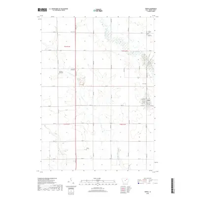
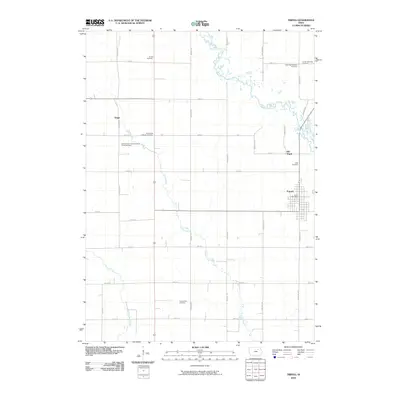 2010 Tripoli2010 Print · USGSCovers Tripoli, including Bremer County, United States, and other nearby areas
 - 2010 Map of Sumner SW, 2010 Print
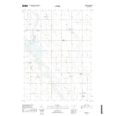
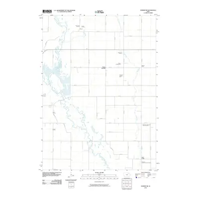 2010 Sumner SW2010 Print · USGSCovers Tripoli, including Bremer County, United States, and other nearby areas
 - 2013 Map of Tripoli, 2013 Print
 2013 Tripoli2013 Print · USGSCovers Tripoli, including Bremer County, United States, and other nearby areas
 - 2013 Map of Sumner SW, 2013 Print
 2013 Sumner SW2013 Print · USGSCovers Tripoli, including Bremer County, United States, and other nearby areas
 - 2015 Map of Sumner SW, 2015 Print
 2015 Sumner SW2015 Print · USGSCovers Tripoli, including Bremer County, United States, and other nearby areas
 - 2015 Map of Tripoli, 2015 Print
 2015 Tripoli2015 Print · USGSCovers Tripoli, including Bremer County, United States, and other nearby areas
 - 2018 Map of Tripoli, 2018 Print
 2018 Tripoli2018 Print · USGSCovers Tripoli, including Bremer County, United States, and other nearby areas
 - 2018 Map of Sumner SW, 2018 Print
 2018 Sumner SW2018 Print · USGSCovers Tripoli, including Bremer County, United States, and other nearby areas
 - 2022 Map of Tripoli, 2022 Print
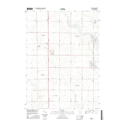
 2022 Tripoli2022 Print · USGSTripoli and the surrounding Bremer County townships appear here in the early twenty-first century, showing a landscape defined by agriculture and deep-rooted community sites. Genealogists can locate numerous local burial grounds including Alcock Cem, Saint Paul Cem, and the County Farm Cem.
 - 2022 Map of Sumner SW, 2022 Print
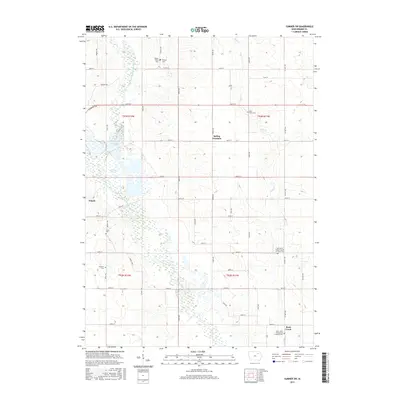
 2022 Sumner SW2022 Print · USGSBremer County's rural townships and river valleys are captured here in the early 2020s, showing a landscape defined by steady agricultural tradition and expansive wetlands. Researchers can locate numerous local burying grounds like Fremont Cem and Grace Cem or trace the drainage of Sweet Marsh into the Wapsipinicon River.
End of results
Showing maps 1-15 of 15
Top cities near Tripoli
- Waverly historical maps
- New Hampton historical maps
- Sumner historical maps
- Denver historical maps
- Fairbank historical maps
- Janesville historical maps
See more
Frequently asked questions
- What are the different types of historical maps available for Tripoli?
- What is the oldest map of Tripoli?
- Where can I purchase historical maps of Tripoli for my home or office?
- Where can I download high-res historical maps of Tripoli?
- Are there historical topographic maps available for Tripoli?
- Is there historical aerial imagery available for Tripoli?
- Where are historical maps of Tripoli sourced from?