Old Maps of Waverly, Iowa for Academic Research
Study the evolution of Waverly with 21 high-resolution historic maps. Whether you're teaching, researching, or modeling changes in land use, these maps provide essential visual documentation of urban, environmental, and geographic change.
- Analyze long-term change: Track patterns in development, transportation, and natural features.
- Ideal for environmental or urban studies: Support academic projects with primary historical map data.
- Use in the classroom or lab: Educators and researchers rely on these maps to bring historical context to life.
These maps are a powerful tool for teaching, research, and visualizing how Waverly has changed over the decades.
Waverly, IA maps
(21)- 1954 Map of Waterloo, 1968 Print
 1954 Waterloo1968 Print · USGSCentral Iowa at the height of its mid-century agricultural and rail boom features the growing hubs of Waterloo and Cedar Falls. Genealogists and researchers can trace the rail corridors of the Chicago Great Western and find local landmarks like Iowa State College and Brushy Ridge.4 unique versions available
 - 1955 Map of Waterloo
 1955 Waterloo1955 Print · USGSCentral Iowa in the mid-fifties presents a dense landscape of rail-connected farming towns and growing river cities. Researchers can trace ancestral roots and old transport routes through Waterloo, Marshalltown, and Ames, while locating rural Cemeteries and local Quarries.2 unique versions available
 - 1963 Map of Waverly, 1964 Print
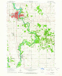 1963 Waverly1964 Print · USGSBremer County's river-driven development is captured here in the early sixties, centered on the growing campus of Wartburg College. Researchers can trace old rail lines like the Illinois Central or locate family plots in Harlington Cemetery and Newell Cem.3 unique versions available
 - 1971 Map of Shell Rock, 1973 Print
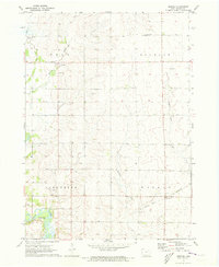
 1971 Shell Rock1973 Print · USGSButler County's river valleys were well-established rail and recreation hubs in the early seventies. Genealogists and local historians can trace the paths of the Chicago Rock Island and Pacific railroad through Shell Rock or locate the Waverly Junction Cem.
 - 1971 Map of Bremer, 1973 Print
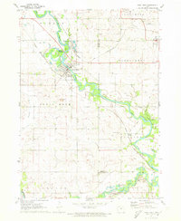
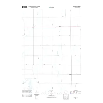
 1971 Bremer1973 Print · USGSBremer County's rural landscape is captured here in the early seventies as small farming communities and townships thrived. Researchers can trace family roots at West Douglas Ch Cem or explore the banks of the Cedar River near the settlement of Horton.
 - 1984 Map of Waverly, 1985 Print
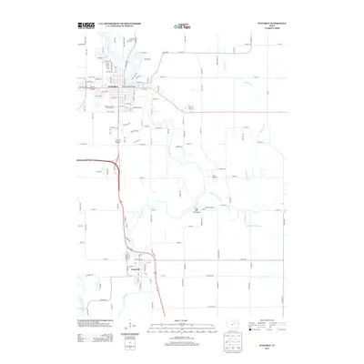
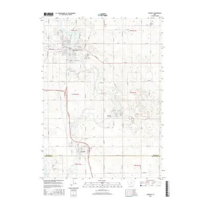
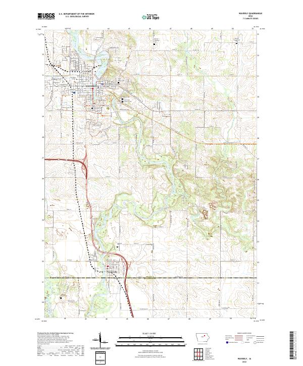
 1984 Waverly1985 Print · USGSNortheast Iowa in the mid-eighties shows a robust network of river towns and rail corridors connecting agricultural centers. Researchers can trace family sites near Garden of Memories Cem or follow the Chicago and North Western line through Janesville and Waverly.2 unique versions available
 - 2010 Map of Waverly, 2010 Print
 2010 Waverly2010 Print · USGSCovers Waverly, including Janesville, Black Hawk County, and other nearby areas
 - 2010 Map of Bremer, 2010 Print
 2010 Bremer2010 Print · USGSCovers Waverly, including Horton, Bremer, and other nearby areas
 - 2010 Map of Shell Rock, 2010 Print
 2010 Shell Rock2010 Print · USGSCovers Waverly, including Shell Rock, Waverly Junction, and other nearby areas
 - 2013 Map of Waverly, 2013 Print
 2013 Waverly2013 Print · USGSCovers Waverly, including Janesville, Black Hawk County, and other nearby areas
 - 2013 Map of Bremer, 2013 Print
 2013 Bremer2013 Print · USGSCovers Waverly, including Horton, Bremer, and other nearby areas
 - 2013 Map of Shell Rock, 2013 Print
 2013 Shell Rock2013 Print · USGSCovers Waverly, including Shell Rock, Waverly Junction, and other nearby areas
 - 2015 Map of Bremer, 2015 Print
 2015 Bremer2015 Print · USGSCovers Waverly, including Horton, Bremer, and other nearby areas
 - 2015 Map of Waverly, 2015 Print
 2015 Waverly2015 Print · USGSCovers Waverly, including Janesville, Black Hawk County, and other nearby areas
 - 2015 Map of Shell Rock, 2015 Print
 2015 Shell Rock2015 Print · USGSCovers Waverly, including Shell Rock, Waverly Junction, and other nearby areas
 - 2018 Map of Bremer, 2018 Print
 2018 Bremer2018 Print · USGSCovers Waverly, including Horton, Bremer, and other nearby areas
 - 2018 Map of Shell Rock, 2018 Print
 2018 Shell Rock2018 Print · USGSCovers Waverly, including Shell Rock, Waverly Junction, and other nearby areas
 - 2018 Map of Waverly, 2018 Print
 2018 Waverly2018 Print · USGSCovers Waverly, including Janesville, Black Hawk County, and other nearby areas
 - 2022 Map of Waverly, 2022 Print
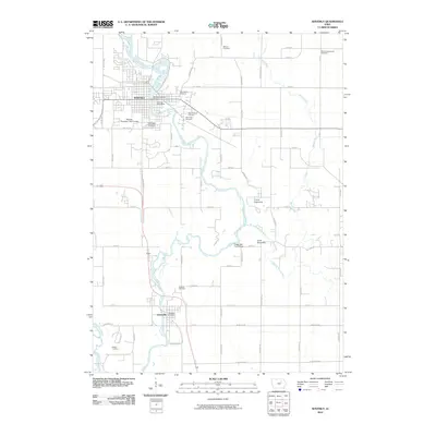
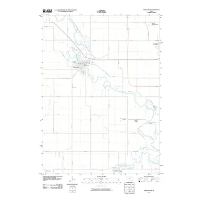
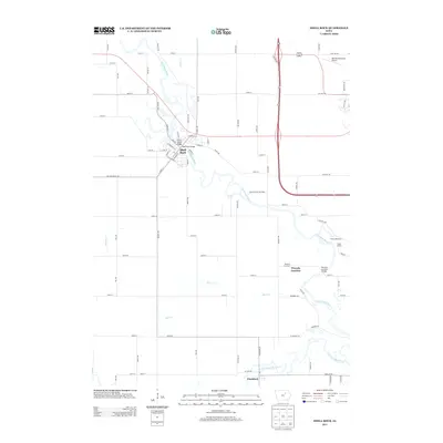
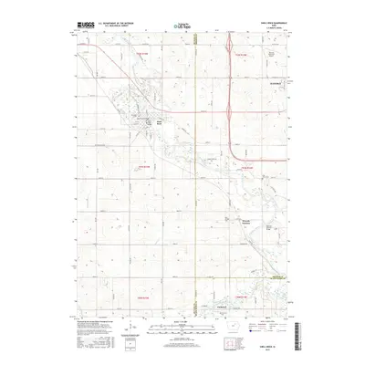
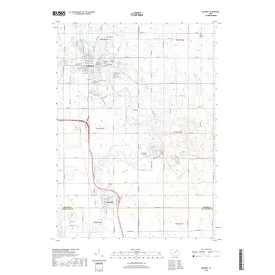
 2022 Waverly2022 Print · USGSBremer County and its riverfront communities are captured here in the early twenty-first century as the Cedar River corridor continues to shape local life. Genealogists can trace family histories across numerous burial grounds like Harlington Cem and Saint Mary's Cem, or locate the historic grounds of Wartburg College.
 - 2022 Map of Bremer, 2022 Print
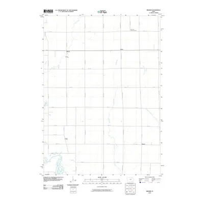
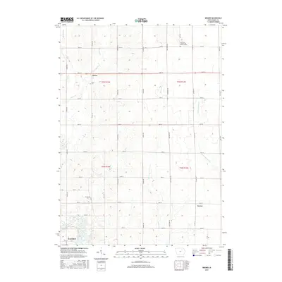
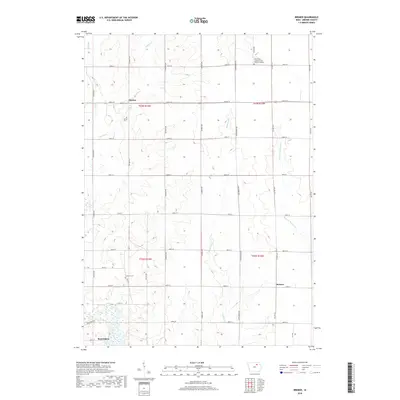
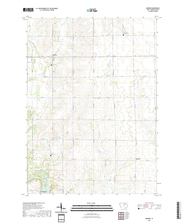 2022 Bremer2022 Print · USGSBremer County's agricultural heartland is captured here in the early twenty-first century, showing the rural grid north of the Waverly city limits. Researchers can locate family landmarks like Saint Johns Lutheran Cem, Horton Cem, and the small community of Bremer.
 - 2022 Map of Shell Rock, 2022 Print
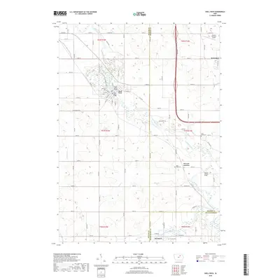
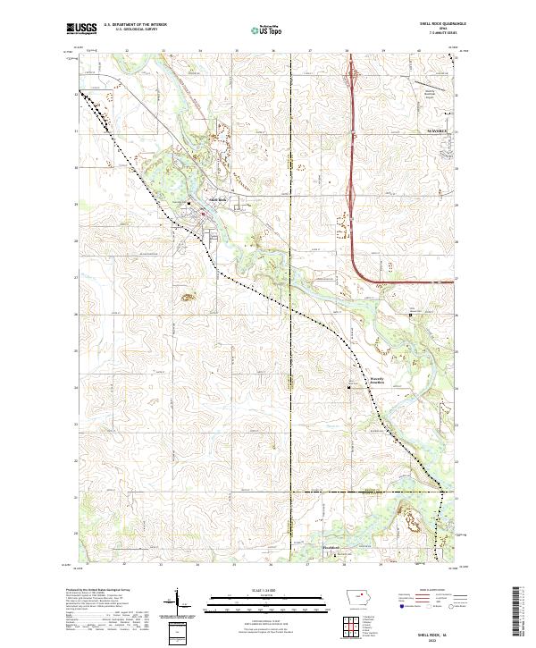 2022 Shell Rock2022 Print · USGSThe river valleys of Butler and Bremer counties come into focus in this recent survey of north-central Iowa. Genealogists and local historians can trace family plots at Riverside Cem and Pilot Mound Cem, or locate the precise layout of Shell Rock and Finchford.
End of results
Showing maps 1-21 of 21
Top cities near Waverly
- Waterloo historical maps
- Cedar Falls historical maps
- Denver historical maps
- Nashua historical maps
- Tripoli historical maps
- Shell Rock historical maps
See more
Frequently asked questions
- What are the different types of historical maps available for Waverly?
- What is the oldest map of Waverly?
- Where can I purchase historical maps of Waverly for my home or office?
- Where can I download high-res historical maps of Waverly?
- Are there historical topographic maps available for Waverly?
- Is there historical aerial imagery available for Waverly?
- Where are historical maps of Waverly sourced from?