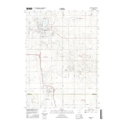
2015 Map of Waverly
USGS Topo · Published 2015About this map
Waverly serves as a significant regional hub along the winding Cedar River, dominated by the prominent campus of Wartburg Coll and its historic core. The settlement pattern follows the river's path, with the Bremer Avenue Bridge providing a central crossing that connects the town's grid. Further south, the community of Janesville sits near the confluence where the West Fork Cedar River joins the main branch.
Find a feature on this map
124 named features on this map. Tap any name to fly to it.
Don’t see what you’re looking for? This feature index may not catch every label — zoom into the map to look around manually.
Map Details
Editions of this 2015 Waverly Map
This is the sole edition of this map. No revisions or reprints were ever made.
Other maps of this area

1954 · Waterloo
USGS Topo · 1:250,000

1955 · Waterloo
USGS Topo · 1:250,000

1963 · Waverly
USGS Topo · 1:24,000

1963 · Denver
USGS Topo · 1:24,000

1963 · Cedar Falls
USGS Topo · 1:24,000

1963 · Waterloo North
USGS Topo · 1:24,000

1971 · Shell Rock
USGS Topo · 1:24,000

1971 · Bremer
USGS Topo · 1:24,000

1971 · Plainfield
USGS Topo · 1:24,000

1971 · Tripoli
USGS Topo · 1:24,000