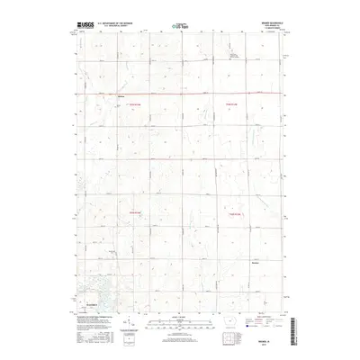
2015 Map of Bremer
USGS Topo · Published 2015About this map
The Cedar River corridor defines the southwestern corner of this Bremer County landscape, where the northern edge of Waverly transitions into a grid of agricultural townships. This 2015 survey reveals a terrain shaped by several small waterways, including Horton Cr, Baskins Run, and Quarter Section Run, which cut through the fertile till plains. Historically significant local landmarks are well-preserved, particularly the small rural cemeteries that anchor the community's genealogy. Settled areas like Horton and Bremer are surrounded by a systematic road network of avenues and streets, illustrating the enduring township and range system. Notable heritage sites such as the Saint Johns Lutheran Cem Western Douglas and Horton Cem provide essential location data for researchers tracing family history in the Douglas and Lafayette township areas.
Find a feature on this map
38 named features on this map. Tap any name to fly to it.
Don’t see what you’re looking for? This feature index may not catch every label — zoom into the map to look around manually.
Map Details
Editions of this 2015 Bremer Map
This is the sole edition of this map. No revisions or reprints were ever made.
Other maps of this area

1954 · Waterloo
USGS Topo · 1:250,000

1955 · Waterloo
USGS Topo · 1:250,000

1963 · Waverly
USGS Topo · 1:24,000

1963 · Denver
USGS Topo · 1:24,000

1971 · Shell Rock
USGS Topo · 1:24,000

1971 · Bremer
USGS Topo · 1:24,000

1971 · Tripoli NW
USGS Topo · 1:24,000

1971 · Plainfield
USGS Topo · 1:24,000

1971 · Frederika
USGS Topo · 1:24,000

1971 · Tripoli
USGS Topo · 1:24,000