Old Maps of Chickasaw County, Iowa for Academic Research
Study the evolution of Chickasaw County with 97 high-resolution historic maps. Whether you're teaching, researching, or modeling changes in land use, these maps provide essential visual documentation of urban, environmental, and geographic change.
- Analyze long-term change: Track patterns in development, transportation, and natural features.
- Ideal for environmental or urban studies: Support academic projects with primary historical map data.
- Use in the classroom or lab: Educators and researchers rely on these maps to bring historical context to life.
These maps are a powerful tool for teaching, research, and visualizing how Chickasaw County has changed over the decades.
Chickasaw County, IA maps
(97)- 1954 Map of Mason City, 1967 Print
 1954 Mason City1967 Print · USGSSouthern Minnesota and northern Iowa are shown here at the height of the mid-century rail era, centered on the regional hubs of Mason City and Rochester. Researchers can trace the vanished paths of the Chicago Great Western and find local landmarks like Pilot Knob and Bear Lake.2 unique versions available
 - 1954 Map of Waterloo, 1968 Print
 1954 Waterloo1968 Print · USGSCentral Iowa at the height of its mid-century agricultural and rail boom features the growing hubs of Waterloo and Cedar Falls. Genealogists and researchers can trace the rail corridors of the Chicago Great Western and find local landmarks like Iowa State College and Brushy Ridge.4 unique versions available
 - 1955 Map of Waterloo
 1955 Waterloo1955 Print · USGSCentral Iowa in the mid-fifties presents a dense landscape of rail-connected farming towns and growing river cities. Researchers can trace ancestral roots and old transport routes through Waterloo, Marshalltown, and Ames, while locating rural Cemeteries and local Quarries.2 unique versions available
 - 1957 Map of Mason City
 1957 Mason City1957 Print · USGSThe Minnesota-Iowa border region comes alive in this mid-century survey, from the industrial plants of Mason City to the medical hub of Rochester. Researchers can trace the rail-and-river economy through the Chicago Great Western Railway and the Shell Rock River.
 - 1958 Map of Mason City
 1958 Mason City1958 Print · USGSSouthern Minnesota and northern Iowa are shown during the mid-fifties when railroads still anchored the regional economy. Genealogists and historians can trace the intricate rail networks of the Illinois Central and find local landmarks in Mason City, Albert Lea, and Austin.
 - 1971 Map of Alpha, 1973 Print
 1971 Alpha1973 Print · USGSNortheast Iowa farmland is captured here in the early seventies, showcasing a landscape of section-line roads and creek-side settlements. Genealogists and historians can trace local family roots through Bethel Cem and Wilson Grove Cem or locate old industrial sites like the Quarry and Gravel Pits.
 - 1971 Map of Tripoli NW, 1973 Print
 1971 Tripoli NW1973 Print · USGSChickasaw and Bremer Counties are mapped here in the early seventies, showing a rural landscape defined by the Wapsipinicon River. Researchers can locate family landmarks like Cagley Cem, Township Cem, and the small community of Republic.
 - 1971 Map of Fredericksburg, 1973 Print
 1971 Fredericksburg1973 Print · USGSThe Fredericksburg area in the early seventies shows a landscape defined by the Chicago and North Western rail line and the winding East Fork Wapsipinicon River. Genealogists and local historians can locate family burial plots at Mentor Cem and Zion Cem, or trace the rural airstrips and small-town streets of the day.
 - 1971 Map of Frederika, 1973 Print
 1971 Frederika1973 Print · USGSBremer and Chickasaw counties come to life in this early 1970s survey of the river valleys in northeast Iowa. Researchers can trace rural life through landmarks like Williamstown, the small St Johns Cem, and the unique Leo Aero Ranch Landing Strip near the river.
 - 1971 Map of Bassett, 1973 Print
 1971 Bassett1973 Print · USGSChickasaw and Floyd Counties are documented here in the early 1970s, showing the rural landscape as the river and rail lines shaped local industry. Genealogists and historians can locate the Cedar View Cem, the village of Bassett, and the grounds of Bunns Woods County Park.
 - 1971 Map of Colwell, 1973 Print
 1971 Colwell1973 Print · USGSUpper Iowa farm country and the meeting of four counties are captured here in the early seventies as the rail era left its mark on the land. Genealogists and historians can trace the Old Grade Railroad, find St Cecilia Ch, and locate Beckwith Cem.
 - 1971 Map of Nashua, 1973 Print
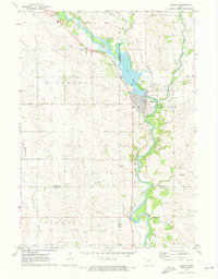 1971 Nashua1973 Print · USGSNashua and the Cedar River valleys are captured here in the early seventies, showing a landscape of small-town industry and riverfront recreation. Genealogists can locate Saint Michaels Cem and the famous Little Brown Church in the Vale, while researchers can trace the Illinois Central rail line.
 - 1972 Map of Ionia, 1976 Print
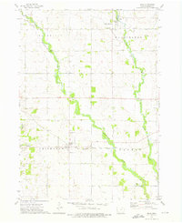 1972 Ionia1976 Print · USGSChickasaw County in the early seventies is defined by the winding Wapsipinicon River and the small-town hubs that grew along the rail lines. Local historians can trace the paths of the Chicago Milwaukee St Paul and Pacific through Ionia or locate family sites at St Boniface Cem and Rowley Hill Cem.
 - 1972 Map of Elma, 1976 Print
 1972 Elma1976 Print · USGSThe rural border of Howard and Chickasaw counties comes into focus in the early 1970s as the rail and river networks shaped local life. Genealogists and historians can trace the Chicago and North Western line through Elma and Alta Vista, or locate Deerfield Cem near the river.
 - 1972 Map of Jerico, 1976 Print
 1972 Jerico1976 Print · USGSChickasaw and Howard counties appear in the early seventies as a patchwork of established family farms and creek valleys. Genealogists can trace rural homesteads near Jerico, the Chicago and North Western rail line, and the banks of Crane Creek.
 - 1972 Map of New Hampton, 1976 Print
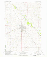 1972 New Hampton1976 Print · USGSNew Hampton and its surrounding Chickasaw County townships are captured here in the early 1970s at the height of its rail-era importance. Genealogists and local historians can trace the paths of the Chicago and North Western railroad or locate family plots at St Marys Cem and Devon.
 - 1981 Map of Lawler, 1982 Print
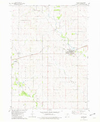 1981 Lawler1982 Print · USGSIn the early 1980s, the railroad town of Lawler remained a vital Iowa transport point along the Milwaukee Road. Genealogists and local historians can trace the heritage of the region through numerous burial sites including Jacksonville Cem, Lutheran Cem, and Boyd Cem.
 - 1981 Map of Saude, 1982 Print
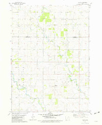 1981 Saude1982 Print · USGSNortheast Iowa’s rural landscape is captured here in the early eighties, spanning the border of Howard and Chickasaw counties. Genealogists and local historians can trace family roots through sites like Reilly Settlement, Yankee Cem, and Saude Ch.
 - 1981 Map of Waucoma, 1982 Print
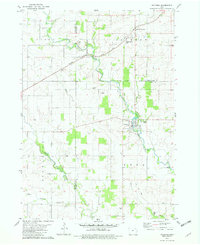 1981 Waucoma1982 Print · USGSNortheast Iowa’s river-carved farmland is documented here in the early eighties at the intersection of three counties. Genealogists and local historians can trace the foundations of Waucoma, locate the Turkey Valley Community Sch, and find rural landmarks like St Johns Ch.
 - 1981 Map of Protivin, 1982 Print
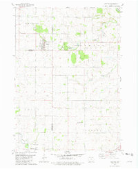 1981 Protivin1982 Print · USGSNortheast Iowa's rural townships are captured here in the early eighties as the agricultural landscape transitions across three county lines. Researchers can find precise locations for St Marys Ch in Little Turkey, the Bohemian National Cem, and the Jirak Landing Strip.
 - 1984 Map of Waverly, 1985 Print
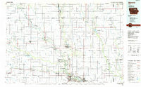 1984 Waverly1985 Print · USGSNortheast Iowa in the mid-eighties shows a robust network of river towns and rail corridors connecting agricultural centers. Researchers can trace family sites near Garden of Memories Cem or follow the Chicago and North Western line through Janesville and Waverly.2 unique versions available
 - 1985 Map of Charles City
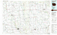 1985 Charles City1985 Print · USGSNorthern Iowa and the Minnesota borderlands are mapped here in the mid-1980s as a thriving network of rail-side towns and river valleys. Trace local history through the Reilly Settlement, Stacyville Junction, and aviation sites like Ellen Church Field.2 unique versions available
 - 2010 Map of Alpha, 2010 Print
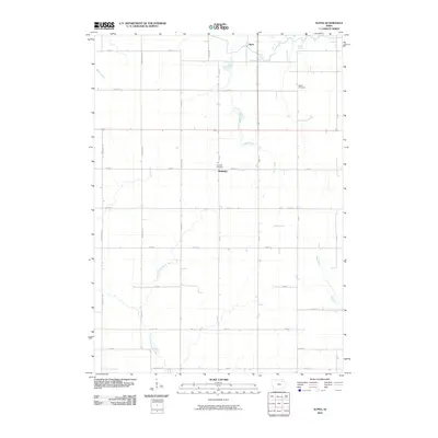 2010 Alpha2010 Print · USGSNortheastern Iowa's agricultural heartland is captured here in the early 2000s, showing the rural communities and farmstead grids. Researchers can locate family burial sites at Bethel Cemetery and Richfield Cemetery or trace the paths of Alpha and Richfield.
 - 2010 Map of Frederika, 2010 Print
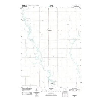 2010 Frederika2010 Print · USGSBremer County's river valleys and rural settlements are captured here in the early twenty-first century. Genealogists and local historians can trace the landscape around Frederika, locating family plots at Saint Johns Cemetery or exploring the areas of Williamstown and Dresden.
 - 2010 Map of Tripoli NW, 2010 Print
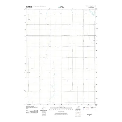 2010 Tripoli NW2010 Print · USGSChickasaw County's agricultural landscape is documented here in the early twenty-first century, showing the enduring rural layout of the Iowa heartland. Genealogists can locate family sites like Richland Township Cemetery and the small settlement at Republic.
Showing maps 1-25 of 97
Top cities of Chickasaw County
- New Hampton historical maps
- Nashua historical maps
- Fredericksburg historical maps
- Lawler historical maps
- Alta Vista historical maps
- Ionia historical maps
See more
Frequently asked questions
- What are the different types of historical maps available for Chickasaw County?
- What is the oldest map of Chickasaw County?
- Where can I purchase historical maps of Chickasaw County for my home or office?
- Where can I download high-res historical maps of Chickasaw County?
- Are there historical topographic maps available for Chickasaw County?
- Is there historical aerial imagery available for Chickasaw County?
- Where are historical maps of Chickasaw County sourced from?