Old Maps of Fredericksburg, Iowa for Metal Detecting
Plan your next treasure hunt with 9 historic maps of Fredericksburg. Find old homesites, ghost towns, trails, and gathering spots that may be lost to time — perfect for identifying promising metal detecting locations.
- Locate forgotten sites: Uncover places like long-lost settlements, abandoned rail lines, or gathering spots.
- Plan better hunts: Use map overlays combined with LiDAR or satellite views to narrow in on historically rich areas.
- Made for detectorists: Thousands of hobbyists use these maps to discover relics, coins, and hidden history.
Use these historic maps to boost your research and find new opportunities beneath the surface of Fredericksburg.
Fredericksburg, IA maps
(9)- 1954 Map of Waterloo, 1968 Print
 1954 Waterloo1968 Print · USGSCentral Iowa at the height of its mid-century agricultural and rail boom features the growing hubs of Waterloo and Cedar Falls. Genealogists and researchers can trace the rail corridors of the Chicago Great Western and find local landmarks like Iowa State College and Brushy Ridge.4 unique versions available
 - 1955 Map of Waterloo
 1955 Waterloo1955 Print · USGSCentral Iowa in the mid-fifties presents a dense landscape of rail-connected farming towns and growing river cities. Researchers can trace ancestral roots and old transport routes through Waterloo, Marshalltown, and Ames, while locating rural Cemeteries and local Quarries.2 unique versions available
 - 1971 Map of Fredericksburg, 1973 Print
 1971 Fredericksburg1973 Print · USGSThe Fredericksburg area in the early seventies shows a landscape defined by the Chicago and North Western rail line and the winding East Fork Wapsipinicon River. Genealogists and local historians can locate family burial plots at Mentor Cem and Zion Cem, or trace the rural airstrips and small-town streets of the day.
 - 1984 Map of Waverly, 1985 Print
 1984 Waverly1985 Print · USGSNortheast Iowa in the mid-eighties shows a robust network of river towns and rail corridors connecting agricultural centers. Researchers can trace family sites near Garden of Memories Cem or follow the Chicago and North Western line through Janesville and Waverly.2 unique versions available
 - 2010 Map of Fredericksburg, 2010 Print
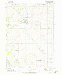
 2010 Fredericksburg2010 Print · USGSCovers Fredericksburg, including Bremer County, Chickasaw County, and other nearby areas
 - 2013 Map of Fredericksburg, 2013 Print
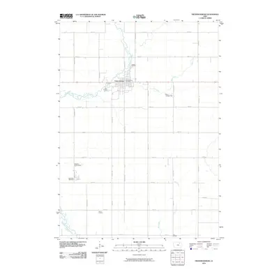
 2013 Fredericksburg2013 Print · USGSCovers Fredericksburg, including Bremer County, Chickasaw County, and other nearby areas
 - 2015 Map of Fredericksburg, 2015 Print
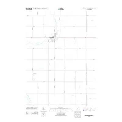
 2015 Fredericksburg2015 Print · USGSCovers Fredericksburg, including Bremer County, Chickasaw County, and other nearby areas
 - 2018 Map of Fredericksburg, 2018 Print
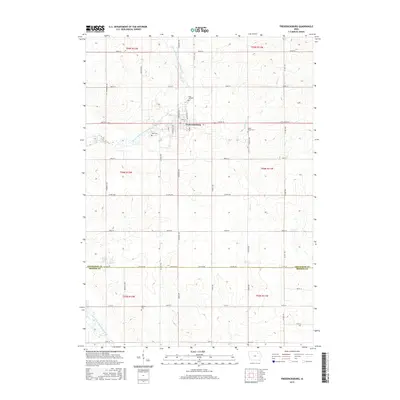
 2018 Fredericksburg2018 Print · USGSCovers Fredericksburg, including Bremer County, Chickasaw County, and other nearby areas
 - 2022 Map of Fredericksburg, 2022 Print
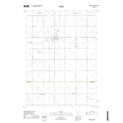
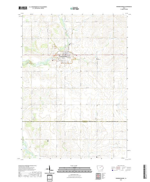 2022 Fredericksburg2022 Print · USGSFredericksburg and the surrounding Chickasaw County farmsteads are documented in this recent survey of northeastern Iowa. Researchers can locate family burial sites at Rose Hill Cem and Maple Grove Cem or trace the path of the East Fork Wapsipinicon River.
End of results
Showing maps 1-9 of 9
Top cities near Fredericksburg
- New Hampton historical maps
- Sumner historical maps
- Tripoli historical maps
- Lawler historical maps
- Waucoma historical maps
- Frederika historical maps
See more
Frequently asked questions
- What are the different types of historical maps available for Fredericksburg?
- What is the oldest map of Fredericksburg?
- Where can I purchase historical maps of Fredericksburg for my home or office?
- Where can I download high-res historical maps of Fredericksburg?
- Are there historical topographic maps available for Fredericksburg?
- Is there historical aerial imagery available for Fredericksburg?
- Where are historical maps of Fredericksburg sourced from?