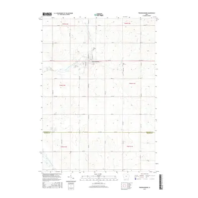
2015 Map of Fredericksburg
USGS Topo · Published 2015About this map
Fredericksburg sits at the heart of this Chickasaw County landscape, where the agricultural grid is defined by a dense network of country roads including Co Hwy V48 and Co Hwy V56. The town's proximity to the East Fork Wapsipinicon River highlights the early importance of water resources in this Iowa prairie region. Several smaller waterways, such as Marsh Cr and Buck Cr, carve through the surrounding farmland, providing drainage for the productive fields that characterize the township boundaries of t95n r12w and t94n r11w.
Find a feature on this map
34 named features on this map. Tap any name to fly to it.
Don’t see what you’re looking for? This feature index may not catch every label — zoom into the map to look around manually.
Map Details
Editions of this 2015 Fredericksburg Map
This is the sole edition of this map. No revisions or reprints were ever made.
Other maps of this area

1954 · Mason City
USGS Topo · 1:250,000

1954 · Waterloo
USGS Topo · 1:250,000

1955 · Waterloo
USGS Topo · 1:250,000

1957 · Mason City
USGS Topo · 1:250,000

1958 · Mason City
USGS Topo · 1:250,000

1971 · Sumner
USGS Topo · 1:24,000

1971 · Alpha
USGS Topo · 1:24,000

1971 · Sumner SW
USGS Topo · 1:24,000

1971 · Fredericksburg
USGS Topo · 1:24,000

1971 · Frederika
USGS Topo · 1:24,000