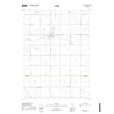
2018 Map of Fredericksburg
USGS Topo · Published 2018About this map
The town of Fredericksburg serves as the central hub of this agricultural landscape in southeastern Chickasaw County, positioned near the East Fork Wapsipinicon River. The terrain is defined by the gentle drainage patterns of Marsh Cr and Buck Cr, which carve through a grid of rural roads and section lines. This 2018 survey reveals a territory with deep roots, evidenced by the numerous burial grounds scattered across the countryside. Genealogists will find the locations of Rose Hill Cem, West Cem, and Maple Grove Cem near the town center, while Mentor Cem and Zion Cem sit further afield in the neighboring townships. The infrastructure of the area remains firmly tied to its rural heritage, with the Po at Fredericksburg serving as a focal point for the surrounding farms connected by thoroughfares like Co HWY v48 and Co HWY b66.
Find a feature on this map
45 named features on this map. Tap any name to fly to it.
Don’t see what you’re looking for? This feature index may not catch every label — zoom into the map to look around manually.
Map Details
Editions of this 2018 Fredericksburg Map
This is the sole edition of this map. No revisions or reprints were ever made.
Other maps of this area

1954 · Mason City
USGS Topo · 1:250,000

1954 · Waterloo
USGS Topo · 1:250,000

1955 · Waterloo
USGS Topo · 1:250,000

1957 · Mason City
USGS Topo · 1:250,000

1958 · Mason City
USGS Topo · 1:250,000

1971 · Sumner
USGS Topo · 1:24,000

1971 · Alpha
USGS Topo · 1:24,000

1971 · Sumner SW
USGS Topo · 1:24,000

1971 · Fredericksburg
USGS Topo · 1:24,000

1971 · Frederika
USGS Topo · 1:24,000