2000s (21st Century) Maps of Lacelle, Iowa
Explore 5 historic maps of Lacelle from the 2000s (21st Century). These maps offer a rare glimpse into what life looked like during the 2000s — showing old roads, neighborhoods, homes, and landmarks that have changed or disappeared over time.
Whether you're researching your family's past, planning a metal detecting trip, or studying how Lacelle's landscape evolved across the 2000s, these high-resolution maps are a powerful tool for exploring the history of this region.
- Focus on a specific era: All maps on this page are from the 2000s, giving you a focused view of this time period.
- See what’s changed: Compare century-old streets, trails, and buildings to today's modern landscape using overlays and satellite layers.
- Research with precision: Use these maps for genealogy, historical research, land use analysis, or educational projects.
- View, download, or print: Maps are fully viewable online in high resolution, and can be downloaded or printed for your own records.
Start exploring Lacelle's history through authentic maps from the 2000s. This is your window into the past.
Lacelle, IA maps
(5)- 2010 Map of Lacelle, 2010 Print
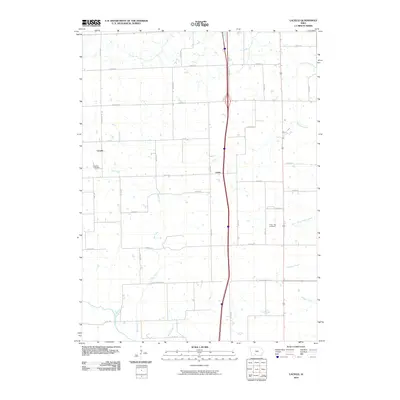 2010 Lacelle2010 Print · USGSCovers Lacelle, including Osceola, Van Wert, and other nearby areas
 - 2013 Map of Lacelle, 2013 Print
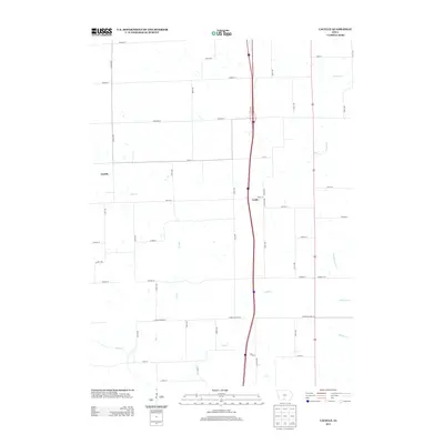 2013 Lacelle2013 Print · USGSCovers Lacelle, including Osceola, Van Wert, and other nearby areas
 - 2015 Map of Lacelle, 2015 Print
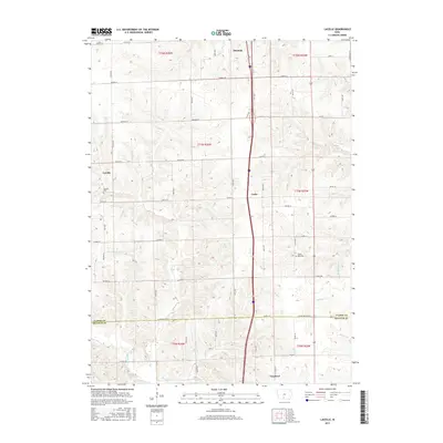 2015 Lacelle2015 Print · USGSCovers Lacelle, including Osceola, Van Wert, and other nearby areas
 - 2018 Map of Lacelle, 2018 Print
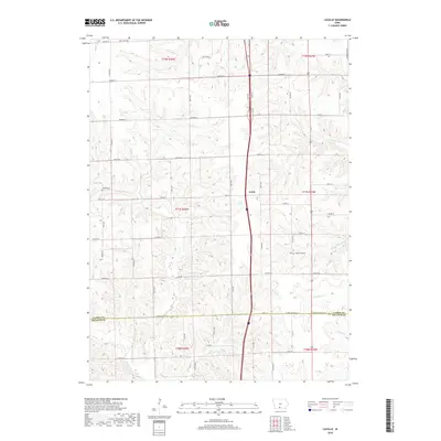 2018 Lacelle2018 Print · USGSCovers Lacelle, including Osceola, Van Wert, and other nearby areas
 - 2022 Map of Lacelle, 2022 Print
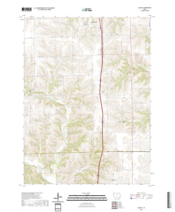 2022 Lacelle2022 Print · USGSSouth of Osceola in the early 2020s, this portion of Clarke and Decatur counties shows a landscape defined by traditional agriculture and winding creek systems. Local historians can trace family ties at Lacelle Cem or follow the waters of Wolf Cr and Chariton Cr through the countryside.
End of results
Showing maps 1-5 of 5
Top cities near Lacelle
- Osceola historical maps
- Leon historical maps
- Murray historical maps
- Lorimor historical maps
- Grand River historical maps
- Van Wert historical maps
See more
Frequently asked questions
- What are the different types of historical maps available for Lacelle?
- What is the oldest map of Lacelle?
- Where can I purchase historical maps of Lacelle for my home or office?
- Where can I download high-res historical maps of Lacelle?
- Are there historical topographic maps available for Lacelle?
- Is there historical aerial imagery available for Lacelle?
- Where are historical maps of Lacelle sourced from?