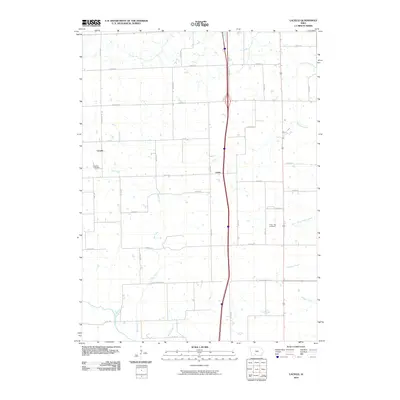
2010 Map of Lacelle
USGS Topo · Published 2010About this map
Lacelle and Leslie serve as the primary anchors for this rural landscape in Clarke County, where the agricultural grid is defined by a series of numbered avenues and named streets. The terrain is deeply etched by a network of drainage systems, most notably Bee Creek and Wolf Creek, which meander through the farmland. Local history is preserved at the Lacelle Cemetery on the western edge and Green Bay Cemetery to the east. The map illustrates a classic Iowan township structure, where the straight lines of roads like Clarke-Decatur St and Lacelle Rd intersect with the natural, winding paths of South White Breast Creek and Chariton Creek. This proximity of early burial grounds to small named settlements suggests a long-standing community pattern centered on these small rural hubs.
Find a feature on this map
37 named features on this map. Tap any name to fly to it.
Don’t see what you’re looking for? This feature index may not catch every label — zoom into the map to look around manually.
Map Details
Editions of this 2010 Lacelle Map
This is the sole edition of this map. No revisions or reprints were ever made.
Other maps of this area

1950 · New Virginia
USGS Topo · 1:62,500

1951 · Osceola
USGS Topo · 1:62,500

1952 · New Virginia
USGS Topo · 1:62,500

1954 · Centerville
USGS Topo · 1:250,000

1954 · Des Moines
USGS Topo · 1:250,000

1956 · Des Moines
USGS Topo · 1:250,000

1957 · Des Moines
USGS Topo · 1:250,000

1957 · Centerville
USGS Topo · 1:250,000

1958 · Centerville
USGS Topo · 1:250,000

1965 · Weldon
USGS Topo · 1:24,000