2000s (21st Century) Maps of Clinton County, Iowa
Explore 127 historic maps of Clinton County from the 2000s (21st Century). These maps offer a rare glimpse into what life looked like during the 2000s — showing old roads, neighborhoods, homes, and landmarks that have changed or disappeared over time.
Whether you're researching your family's past, planning a metal detecting trip, or studying how Clinton County's landscape evolved across the 2000s, these high-resolution maps are a powerful tool for exploring the history of this region.
- Focus on a specific era: All maps on this page are from the 2000s, giving you a focused view of this time period.
- See what’s changed: Compare century-old streets, trails, and buildings to today's modern landscape using overlays and satellite layers.
- Research with precision: Use these maps for genealogy, historical research, land use analysis, or educational projects.
- View, download, or print: Maps are fully viewable online in high resolution, and can be downloaded or printed for your own records.
Start exploring Clinton County's history through authentic maps from the 2000s. This is your window into the past.
Clinton County, IA maps
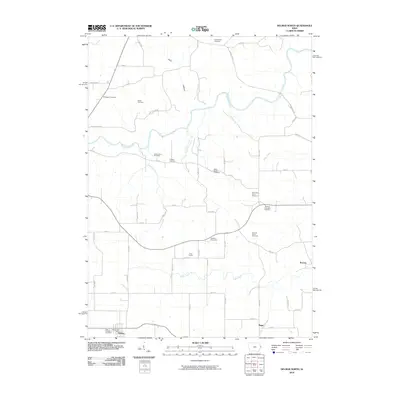
(127)- 2010 Map of McCausland, 2010 Print
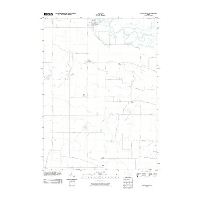 2010 McCausland2010 Print · USGSCovers Clinton County, including McCausland, Lincoln Township, and other nearby areas
 - 2010 Map of Lost Nation, 2010 Print
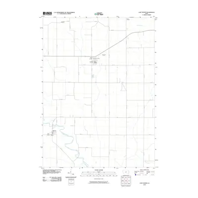 2010 Lost Nation2010 Print · USGSCovers Clinton County, including Lost Nation, Toronto, and other nearby areas
 - 2010 Map of Lowden, 2010 Print
 2010 Lowden2010 Print · USGSCovers Clinton County, including Lowden, Liberty Township, and other nearby areas
 - 2010 Map of Grand Mound, 2010 Print
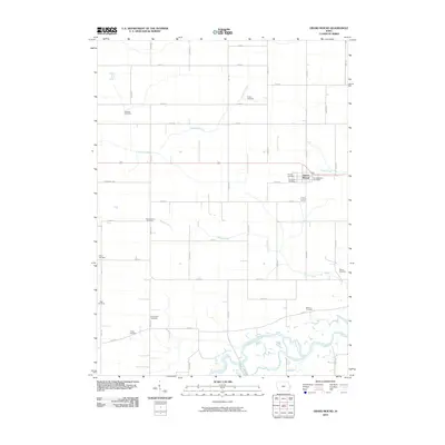 2010 Grand Mound2010 Print · USGSCovers Clinton County, including Grand Mound, Scott County, and other nearby areas
 - 2010 Map of Donahue, 2010 Print
 2010 Donahue2010 Print · USGSCovers Clinton County, including Eldridge, Donahue, and other nearby areas
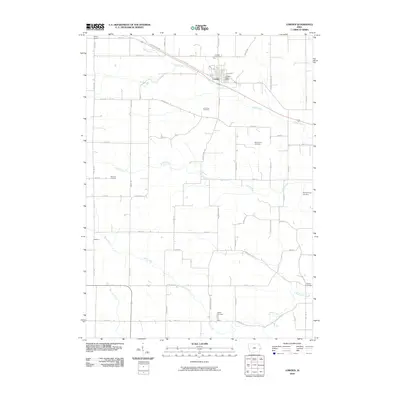
 - 2010 Map of Camanche, 2010 Print
 2010 Camanche2010 Print · USGSCovers Clinton County, including Clinton, Camanche, and other nearby areas
 - 2010 Map of De Witt, 2010 Print
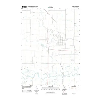 2010 De Witt2010 Print · USGSCovers Clinton County, including DeWitt, De Witt, and other nearby areas
 - 2010 Map of Malone, 2010 Print
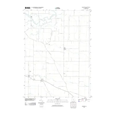
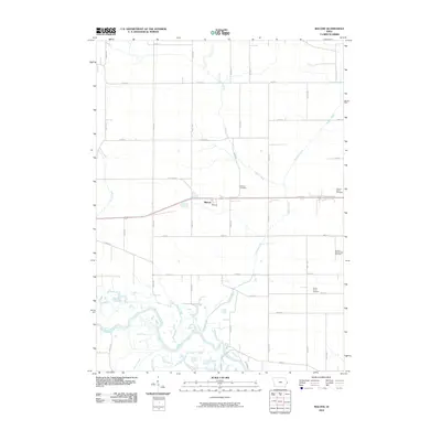 2010 Malone2010 Print · USGSCovers Clinton County, including McCausland, Malone, and other nearby areas
 - 2010 Map of Maquoketa, 2010 Print
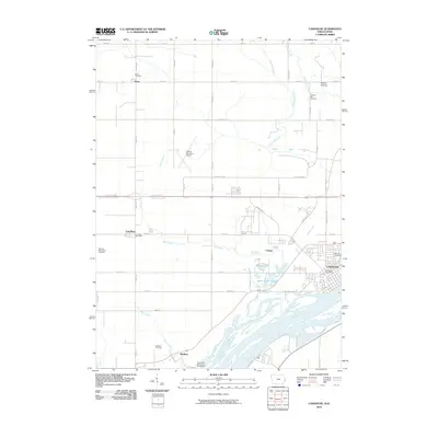
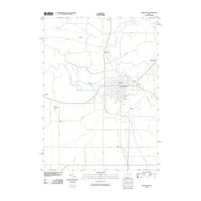 2010 Maquoketa2010 Print · USGSCovers Clinton County, including Maquoketa, Bridgeport, and other nearby areas
 - 2010 Map of Wheatland, 2010 Print
 2010 Wheatland2010 Print · USGSCovers Clinton County, including Wheatland, Calamus, and other nearby areas
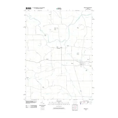
 - 2010 Map of Preston, 2010 Print
 2010 Preston2010 Print · USGSCovers Clinton County, including Preston, Spragueville, and other nearby areas
 - 2010 Map of Andover, 2010 Print
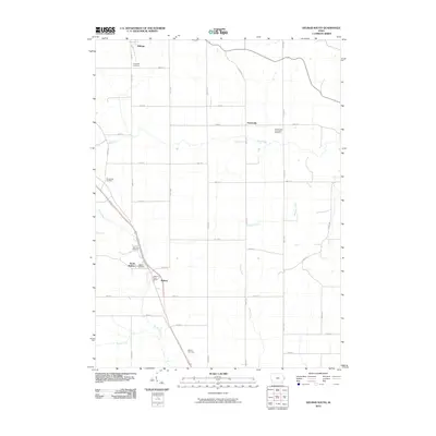
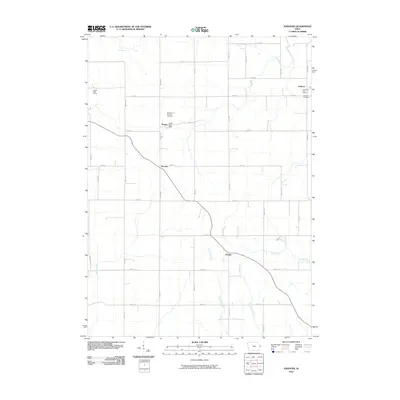 2010 Andover2010 Print · USGSCovers Clinton County, including Goose Lake, Andover, and other nearby areas
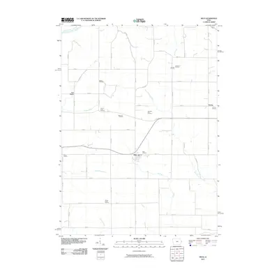
 - 2010 Map of Baldwin, 2010 Print
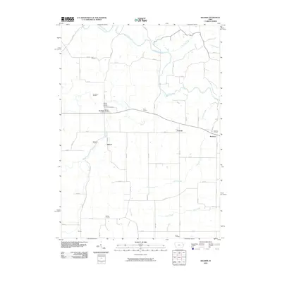 2010 Baldwin2010 Print · USGSCovers Clinton County, including Monmouth, Baldwin, and other nearby areas
 - 2010 Map of Clinton NW, 2010 Print
 2010 Clinton NW2010 Print · USGSCovers Clinton County, including Clinton, Fulton, and other nearby areas
 - 2010 Map of Clinton, 2010 Print
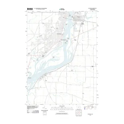 2010 Clinton2010 Print · USGSCovers Clinton County, including Clinton, Camanche, and other nearby areas
 - 2010 Map of Dixon, 2010 Print
 2010 Dixon2010 Print · USGSCovers Clinton County, including Walcott, Dixon, and other nearby areas
 - 2010 Map of Cordova, 2010 Print
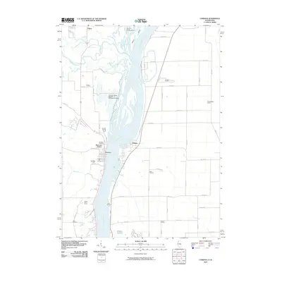 2010 Cordova2010 Print · USGSCovers Clinton County, including Port Byron, Princeton, and other nearby areas
 - 2010 Map of Elwood, 2010 Print
 2010 Elwood2010 Print · USGSCovers Clinton County, including Elwood, Bliedorn, and other nearby areas
 - 2010 Map of Goose Lake, 2010 Print
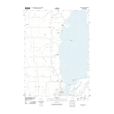
 2010 Goose Lake2010 Print · USGSCovers Clinton County, including Charlotte, Goose Lake, and other nearby areas
 - 2010 Map of Oxford Junction, 2010 Print
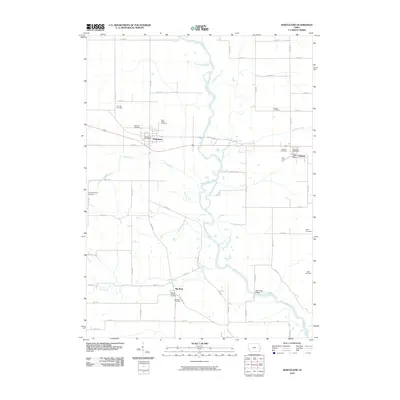
 2010 Oxford Junction2010 Print · USGSCovers Clinton County, including Oxford Junction, Massillon, and other nearby areas
 - 2010 Map of Delmar South, 2010 Print
 2010 Delmar South2010 Print · USGSCovers Clinton County, including Delmar, Welton, and other nearby areas
 - 2010 Map of Delmar North, 2010 Print
 2010 Delmar North2010 Print · USGSCovers Clinton County, including Delmar, Riggs, and other nearby areas
 - 2010 Map of Wyoming East, 2010 Print
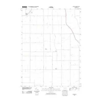
 2010 Wyoming East2010 Print · USGSCovers Clinton County, including Wyoming, Monmouth, and other nearby areas
 - 2010 Map of Miles, 2010 Print
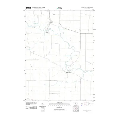
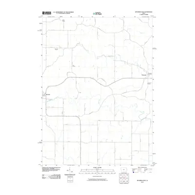
 2010 Miles2010 Print · USGSCovers Clinton County, including Miles, Van Buren, and other nearby areas
 - 2011 Map of Savanna, 2011 Print
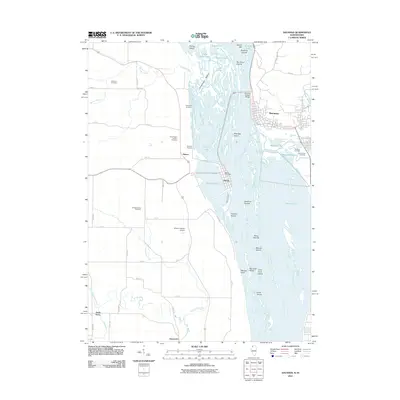 2011 Savanna2011 Print · USGSCovers Clinton County, including Savanna, Sabula, and other nearby areas
Showing maps 1-25 of 127
Top cities of Clinton County
- Clinton historical maps
- DeWitt historical maps
- Camanche historical maps
- Wheatland historical maps
- Grand Mound historical maps
- Delmar historical maps
See more
Frequently asked questions
- What are the different types of historical maps available for Clinton County?
- What is the oldest map of Clinton County?
- Where can I purchase historical maps of Clinton County for my home or office?
- Where can I download high-res historical maps of Clinton County?
- Are there historical topographic maps available for Clinton County?
- Is there historical aerial imagery available for Clinton County?
- Where are historical maps of Clinton County sourced from?