Old Maps of Ricketts, Iowa for Hiking & Exploration
Hike through history with 16 historic maps of Ricketts. Explore old trails, ghost towns, and forgotten backroads — perfect for outdoor adventurers and local explorers.
- Rediscover forgotten places: Map out old mining camps, roads, and footpaths that no longer exist on modern maps.
- Layer with modern tools: Combine with LiDAR or satellite views to plan hikes through historical terrain.
- Made for exploration: Popular among hikers, overlanders, and local history lovers.
Use these maps to find adventure and explore the hidden past of Ricketts.
Ricketts, IA maps
(16)- 1954 Map of Fort Dodge, 1968 Print
 1954 Fort Dodge1968 Print · USGSNorthwest Iowa is shown here during a period of steady industrial and rail activity in the mid-fifties. Researchers can trace the extensive rail lines connecting Fort Dodge to mining and manufacturing sites like Gypsum and Industry Station.3 unique versions available
 - 1957 Map of Fort Dodge
 1957 Fort Dodge1957 Print · USGSWest-central Iowa thrived as a network of rail-linked agricultural hubs and river towns during the mid-fifties. Researchers can trace the development of the Des Moines River valley and locate historic landmarks in Fort Dodge, Storm Lake, and Lehigh.
 - 1958 Map of Fort Dodge
 1958 Fort Dodge1958 Print · USGSWestern Iowa in the mid-1950s reveals a productive landscape of river-valley industry and prairie agricultural hubs. Researchers can trace the development of the Des Moines River corridor through Fort Dodge and locate vanished local landmarks near Coalville or Storm Lake.
 - 1971 Map of Ricketts, 1973 Print
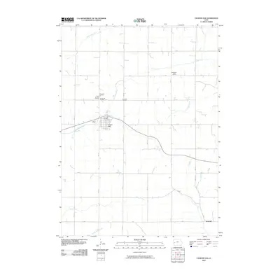
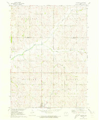 1971 Ricketts1973 Print · USGSThe town of Ricketts and the surrounding Crawford County townships are captured here in the early 1970s. Trace the path of the Old Railroad Grade and locate local landmarks such as Immanuel Ch and the banks of the Soldier River.
 - 1971 Map of Charter Oak, 1973 Print
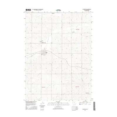
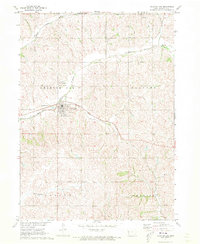 1971 Charter Oak1973 Print · USGSCrawford County's agricultural and rail corridors are captured in the early 1970s before modern consolidation changed the rural landscape. Researchers can trace family sites at St Boniface Cem, follow the Milwaukee Road tracks, or locate the small settlement of Kenwood.
 - 1985 Map of Ida Grove
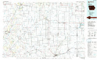 1985 Ida Grove1985 Print · USGSWestern Iowa's agricultural heartland is documented in the mid-1980s, showcasing a network of grain-hauling rail lines and river valley settlements. Genealogists and historians can trace family locations across Ida Grove and Denison or locate landmarks like Black Hawk Lake.2 unique versions available
 - 2010 Map of Ricketts, 2010 Print
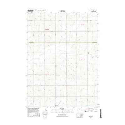
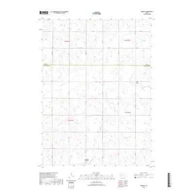
 2010 Ricketts2010 Print · USGSCovers Ricketts, including Crawford County, Ida County, and other nearby areas
 - 2010 Map of Charter Oak, 2010 Print
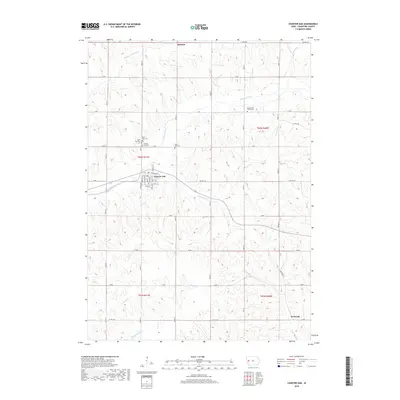
 2010 Charter Oak2010 Print · USGSCovers Ricketts, including Charter Oak, Kenwood, and other nearby areas
 - 2013 Map of Charter Oak, 2013 Print
 2013 Charter Oak2013 Print · USGSCovers Ricketts, including Charter Oak, Kenwood, and other nearby areas
 - 2013 Map of Ricketts, 2013 Print
 2013 Ricketts2013 Print · USGSCovers Ricketts, including Crawford County, Ida County, and other nearby areas
 - 2015 Map of Charter Oak, 2015 Print
 2015 Charter Oak2015 Print · USGSCovers Ricketts, including Charter Oak, Kenwood, and other nearby areas
 - 2015 Map of Ricketts, 2015 Print
 2015 Ricketts2015 Print · USGSCovers Ricketts, including Crawford County, Ida County, and other nearby areas
 - 2018 Map of Charter Oak, 2018 Print
 2018 Charter Oak2018 Print · USGSCovers Ricketts, including Charter Oak, Kenwood, and other nearby areas
 - 2018 Map of Ricketts, 2018 Print
 2018 Ricketts2018 Print · USGSCovers Ricketts, including Crawford County, Ida County, and other nearby areas
 - 2022 Map of Charter Oak, 2022 Print
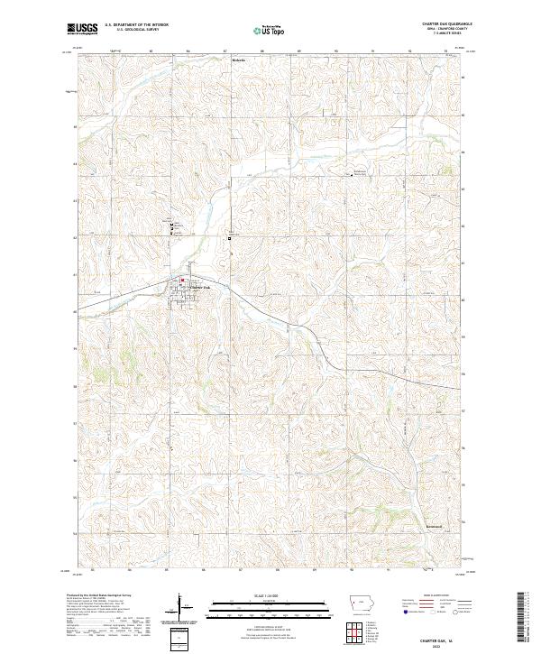 2022 Charter Oak2022 Print · USGSWestern Crawford County is captured here in the early twenty-first century, centered on the hub of Charter Oak. Genealogists can trace local family lineages through numerous sites like Bockelmann Family Cem, Saint Boniface Cem, and the village of Ricketts.
 - 2022 Map of Ricketts, 2022 Print
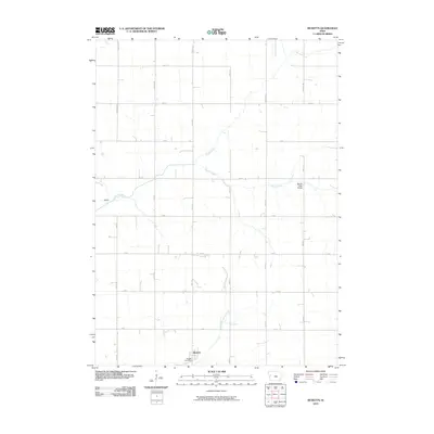
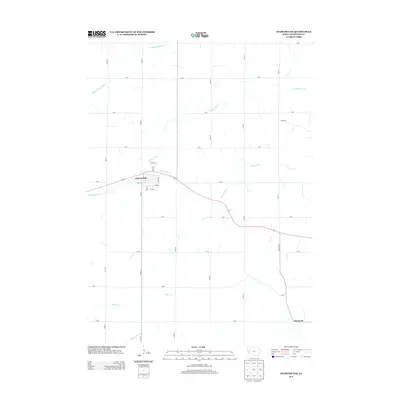
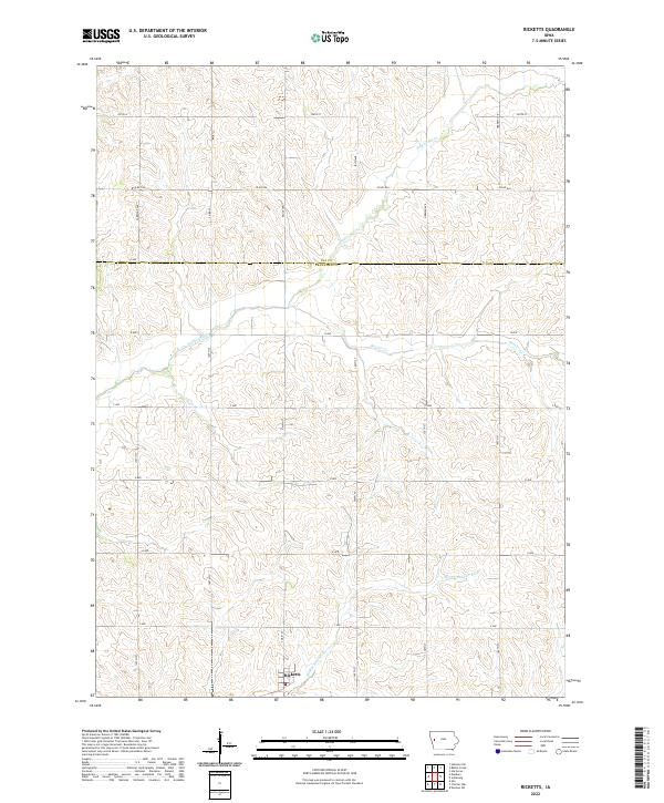 2022 Ricketts2022 Print · USGSCrawford County's agricultural heartland is documented here in the early 2020s, centered on the community of Ricketts. Researchers can trace local drainage and land divisions along the Soldier River, Middle Soldier River, and the Ida County border.
End of results
Showing maps 1-16 of 16
Top cities near Ricketts
- Denison historical maps
- Ida Grove historical maps
- Mapleton historical maps
- Schleswig historical maps
- Battle Creek historical maps
- Charter Oak historical maps
See more
Frequently asked questions
- What are the different types of historical maps available for Ricketts?
- What is the oldest map of Ricketts?
- Where can I purchase historical maps of Ricketts for my home or office?
- Where can I download high-res historical maps of Ricketts?
- Are there historical topographic maps available for Ricketts?
- Is there historical aerial imagery available for Ricketts?
- Where are historical maps of Ricketts sourced from?