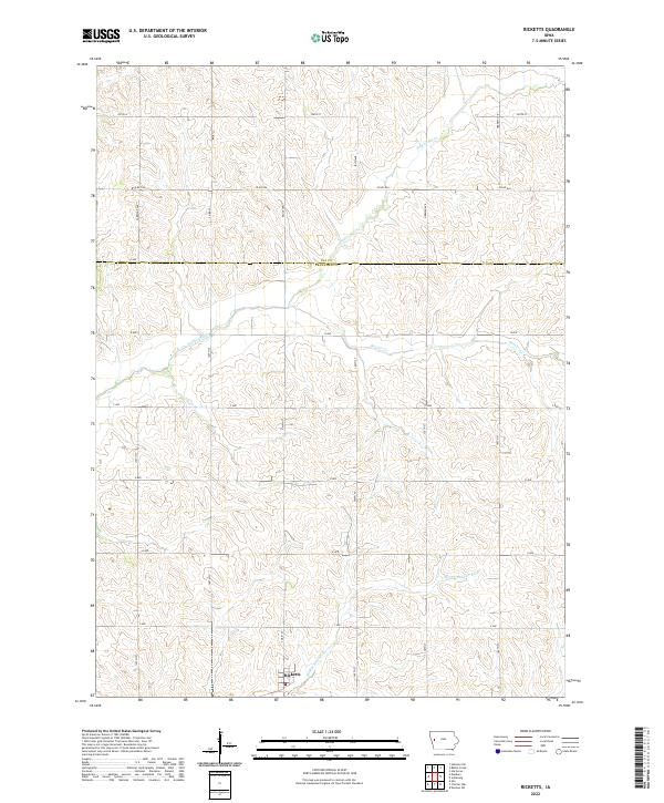
2022 Map of Ricketts
USGS Topo · Published 2022About this map
Ricketts sits at the heart of this agricultural landscape in the Loess Hills region, positioned near the intersection of S Main St and D Ave. The settlement is defined by its proximity to the winding course of the Soldier River, which meanders through the northern townships. This modern survey illustrates the traditional section-line road grid of western Iowa, where routes like Co Rd D54 and Co Rd L51 partition the rolling drainage basins. To the south, the Middle Soldier River and Beaver Cr create a complex network of waterways that historically influenced field patterns and farmstead placement. The map also delineates the jurisdictional boundary between Ida Co and Crawford Co, showing how local governance aligns with the long-established township and range system of the American Midwest.
Find a feature on this map
29 named features on this map. Tap any name to fly to it.
Don’t see what you’re looking for? This feature index may not catch every label — zoom into the map to look around manually.
Map Details
Editions of this 2022 Ricketts Map
This is the sole edition of this map. No revisions or reprints were ever made.
Other maps of this area

1954 · Fort Dodge
USGS Topo · 1:250,000

1957 · Fort Dodge
USGS Topo · 1:250,000

1958 · Fort Dodge
USGS Topo · 1:250,000

1967 · Ida Grove
USGS Topo · 1:24,000

1967 · Battle Creek
USGS Topo · 1:24,000

1969 · Danbury
USGS Topo · 1:24,000

1969 · Holstein SW
USGS Topo · 1:24,000

1971 · Ricketts
USGS Topo · 1:24,000

1971 · Ute
USGS Topo · 1:24,000

1971 · Schleswig
USGS Topo · 1:24,000