Old Maps of Northfield, Iowa for Metal Detecting
Plan your next treasure hunt with 12 historic maps of Northfield. Find old homesites, ghost towns, trails, and gathering spots that may be lost to time — perfect for identifying promising metal detecting locations.
- Locate forgotten sites: Uncover places like long-lost settlements, abandoned rail lines, or gathering spots.
- Plan better hunts: Use map overlays combined with LiDAR or satellite views to narrow in on historically rich areas.
- Made for detectorists: Thousands of hobbyists use these maps to discover relics, coins, and hidden history.
Use these historic maps to boost your research and find new opportunities beneath the surface of Northfield.
Northfield, IA maps
(12)- 1946 Map of Wapello, 1954 Print
 1946 Wapello1954 Print · USGSThe riverfront town of New Boston and the surrounding islands are captured in the mid-1940s as the Mississippi River meets the Iowa River. Researchers can trace the era's local rural life at Swan Lake Sch, Pin Oak Sch, and the engineering at Lock and Dam No 17.2 unique versions available
 - 1949 Map of Wapello
 1949 Wapello1949 Print · USGSThe riverfront of Mercer County and the Mississippi border appear here in the late 1940s, just after the war. Local historians can trace the river's path through Lock and Dam No 17, find rural schoolhouses like Bay View Sch, or locate the Ferry at the mouth of the Iowa River.2 unique versions available
 - 1958 Map of Davenport, 1968 Print
 1958 Davenport1968 Print · USGSEastern Iowa and western Illinois thrive along the river during the late fifties, defined by the industrial Quad Cities and a robust rail network. Genealogists can trace family roots through settlements like Oasis and Stanwood or along the Cedar River.2 unique versions available
 - 1961 Map of Davenport
 1961 Davenport1961 Print · USGSThe Quad Cities and the eastern Iowa riverlands are captured here in the early sixties, showing the region's transition into a modern industrial and transit hub. Genealogists and historians can trace the paths of major railroads and find river landmarks like Rock Island Arsenal, Huron Island, and the Coralville Reservoir.
 - 1962 Map of Davenport
 1962 Davenport1962 Print · USGSThe Quad Cities and the Mississippi River corridor are shown at their industrial peak just before the interstate era fully transformed the region. Researchers can trace the sprawling rail networks of the Chicago Rock Island and Pacific and find landmarks like the Rock Island Arsenal and Wild Cat Den State Park.
 - 1965 Map of Oakville, 1967 Print
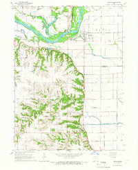 1965 Oakville1967 Print · USGSSoutheast Iowa in the mid-1960s reveals a landscape defined by the river bottomlands and the transition to the southern uplands. Genealogists can trace family landmarks like Parson Cem and Old Swedish Cem, or locate rail junctions at Elrick Junction and Oakville.
 - 1984 Map of Muscatine, 1985 Print
 1984 Muscatine1985 Print · USGSThe Mississippi River corridor and Iowa prairie meet in the 1980s, showcasing a landscape of river navigation and agricultural heartland. Genealogists and researchers can locate old schools and landmarks like Maharishi International University, Elm Grove Cem, and Lock & Dam No 16.2 unique versions available
 - 2012 Map of Oakville, 2012 Print
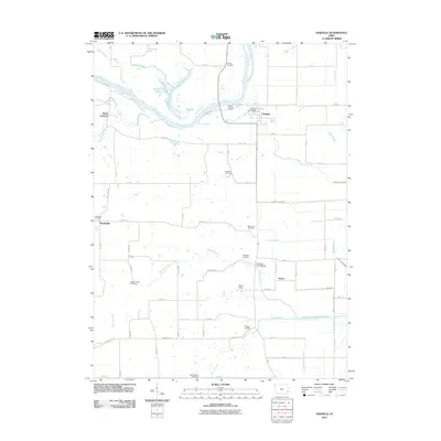 2012 Oakville2012 Print · USGSLouisa County’s riverfront and agricultural heartland are shown here in the early twenty-first century as the Iowa River winds past established farming communities. Genealogists can trace local history through numerous burial sites like Old Swedish Cemetery and Round Prairie Cemetery, or locate landmarks like Elrick Junction.
 - 2013 Map of Oakville, 2013 Print
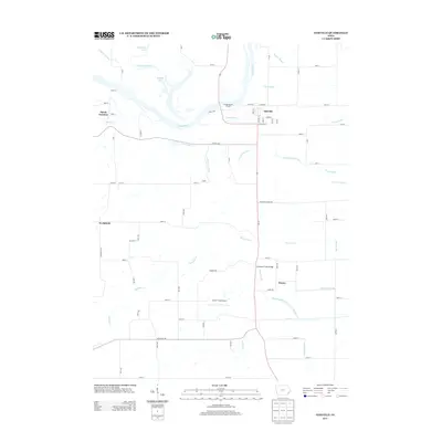 2013 Oakville2013 Print · USGSThe riverfront and fertile plains of Louisa County are mapped here in the early twenty-first century, showing the intricate water management of the Iowa River valley. Researchers can trace the layout of Oakville and find rural landmarks like Sharar Field Airport and Elrick Junction.
 - 2015 Map of Oakville, 2015 Print
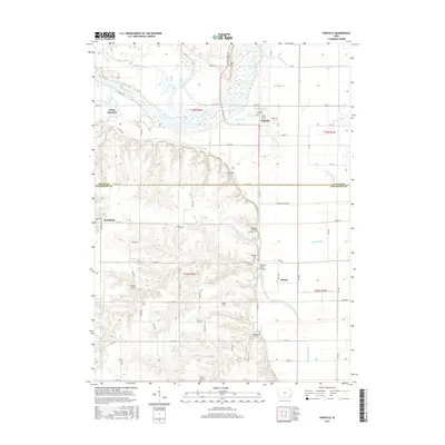 2015 Oakville2015 Print · USGSSoutheast Iowa's riverfront and agricultural uplands are captured here in the mid-2010s, showing the intricate drainage of the Iowa River valley. Researchers can locate numerous family and community burial sites, including the Old Swedish Cem, Northfield Cem, and Round Prairie Cem.
 - 2018 Map of Oakville, 2018 Print
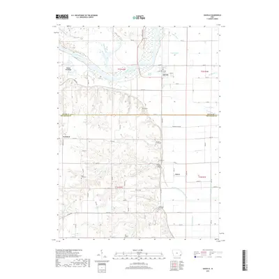 2018 Oakville2018 Print · USGSNear the Louisa and Des Moines county line in 2018, this landscape reveals a deep history of river-valley settlement and drainage. Genealogists can locate family burial sites like Old Swedish Cem and Round Prairie Cem or trace the hamlets of Oakville and Huron.
 - 2022 Map of Oakville, 2022 Print
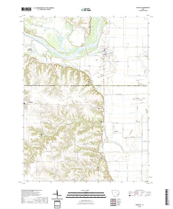 2022 Oakville2022 Print · USGSThe Iowa River bottomlands south of Oakville are presented here in a recent era, highlighting the intricate drainage and settlement patterns of Louisa County. Researchers can trace local heritage at Swedish Lutheran Cem, Northfield, and the Hawkeye-Dolbee Diversion Channel.
End of results
Showing maps 1-12 of 12
Top cities near Northfield
- Burlington historical maps
- Wapello historical maps
- Columbus Junction historical maps
- Mediapolis historical maps
- Oquawka historical maps
- Danville historical maps
See more
Frequently asked questions
- What are the different types of historical maps available for Northfield?
- What is the oldest map of Northfield?
- Where can I purchase historical maps of Northfield for my home or office?
- Where can I download high-res historical maps of Northfield?
- Are there historical topographic maps available for Northfield?
- Is there historical aerial imagery available for Northfield?
- Where are historical maps of Northfield sourced from?