Old Maps of Hampton, Iowa for Hiking & Exploration
Hike through history with 15 historic maps of Hampton. Explore old trails, ghost towns, and forgotten backroads — perfect for outdoor adventurers and local explorers.
- Rediscover forgotten places: Map out old mining camps, roads, and footpaths that no longer exist on modern maps.
- Layer with modern tools: Combine with LiDAR or satellite views to plan hikes through historical terrain.
- Made for exploration: Popular among hikers, overlanders, and local history lovers.
Use these maps to find adventure and explore the hidden past of Hampton.
Hampton, IA maps
(15)- 1954 Map of Waterloo, 1968 Print
 1954 Waterloo1968 Print · USGSCentral Iowa at the height of its mid-century agricultural and rail boom features the growing hubs of Waterloo and Cedar Falls. Genealogists and researchers can trace the rail corridors of the Chicago Great Western and find local landmarks like Iowa State College and Brushy Ridge.4 unique versions available
 - 1955 Map of Waterloo
 1955 Waterloo1955 Print · USGSCentral Iowa in the mid-fifties presents a dense landscape of rail-connected farming towns and growing river cities. Researchers can trace ancestral roots and old transport routes through Waterloo, Marshalltown, and Ames, while locating rural Cemeteries and local Quarries.2 unique versions available
 - 1972 Map of Hampton North, 1975 Print
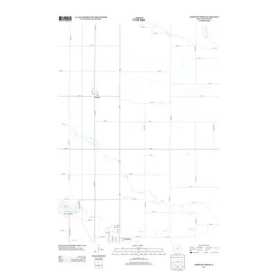
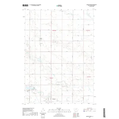
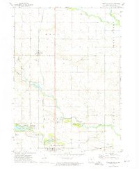 1972 Hampton North1975 Print · USGSFranklin County's agricultural and rail heritage is well-preserved in this early 1970s landscape where the towns of Hampton and Chapin meet. Genealogists and historians can trace the Chicago Rock Island and Pacific tracks and locate the Way Side Cem or the State Fish Hatchery.
 - 1979 Map of Hampton South, 1980 Print
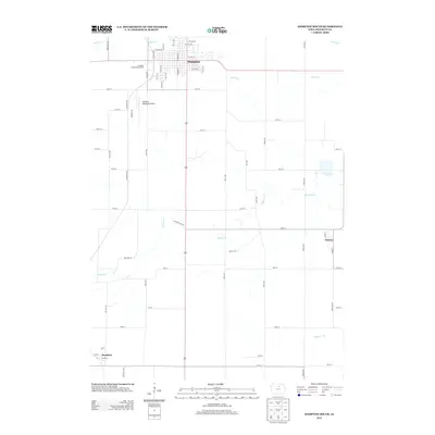
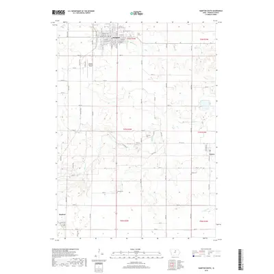
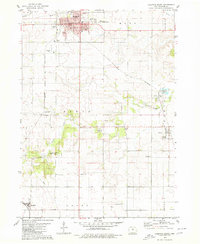 1979 Hampton South1980 Print · USGSFranklin County's agricultural heartland is documented here in the late seventies, centered on the hub of Hampton. Genealogists and historians can trace several rural burial grounds like Redding Cem and find school sites such as the Geneva Ackley Sch.
 - 1984 Map of Iowa Falls, 1985 Print
 1984 Iowa Falls1985 Print · USGSNorth-central Iowa is documented here during the mid-eighties, showing a landscape of traditional rail towns and extensive wildlife management areas. Researchers can trace family history through settlements like Belmond, Dows, and Ackley, or locate landmarks like Beeds Lake State Park.2 unique versions available
 - 2010 Map of Hampton North, 2010 Print
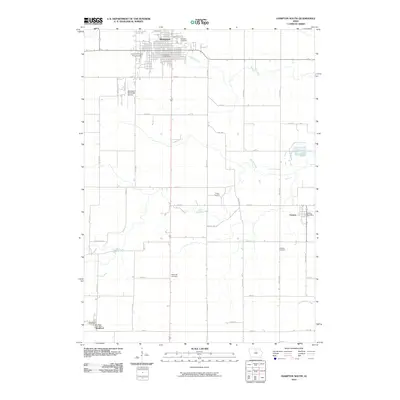
 2010 Hampton North2010 Print · USGSCovers Hampton, including Chapin, Franklin County, and other nearby areas
 - 2010 Map of Hampton South, 2010 Print
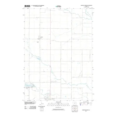
 2010 Hampton South2010 Print · USGSCovers Hampton, including Geneva, Bradford, and other nearby areas
 - 2013 Map of Hampton South, 2013 Print
 2013 Hampton South2013 Print · USGSCovers Hampton, including Geneva, Bradford, and other nearby areas
 - 2013 Map of Hampton North, 2013 Print
 2013 Hampton North2013 Print · USGSCovers Hampton, including Chapin, Franklin County, and other nearby areas
 - 2015 Map of Hampton North, 2015 Print
 2015 Hampton North2015 Print · USGSCovers Hampton, including Chapin, Franklin County, and other nearby areas
 - 2015 Map of Hampton South, 2015 Print
 2015 Hampton South2015 Print · USGSCovers Hampton, including Geneva, Bradford, and other nearby areas
 - 2018 Map of Hampton South, 2018 Print
 2018 Hampton South2018 Print · USGSCovers Hampton, including Geneva, Bradford, and other nearby areas
 - 2018 Map of Hampton North, 2018 Print
 2018 Hampton North2018 Print · USGSCovers Hampton, including Chapin, Franklin County, and other nearby areas
 - 2023 Map of Hampton South, 2023 Print
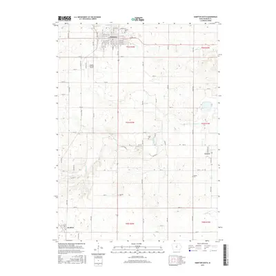
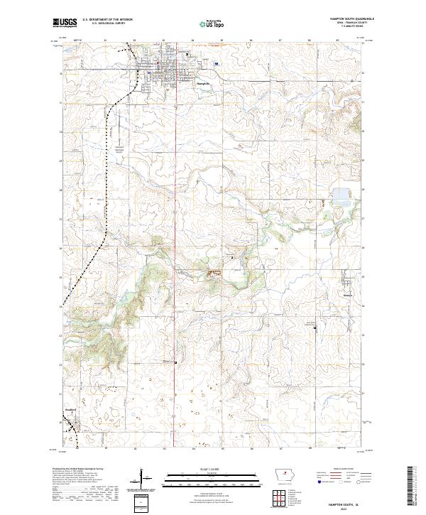 2023 Hampton South2023 Print · USGSFranklin County's agricultural heartland is documented here in the early twenty-first century, centered on the county seat of Hampton. Researchers can trace family history at Maysville Cem, locate the Franklin County Courthouse, and follow the former rail path of the Rolling Prairie Trl.
 - 2023 Map of Hampton North, 2023 Print
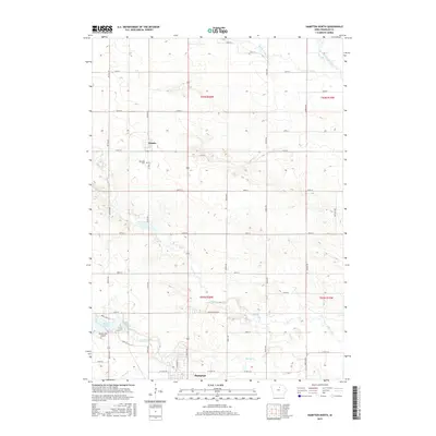
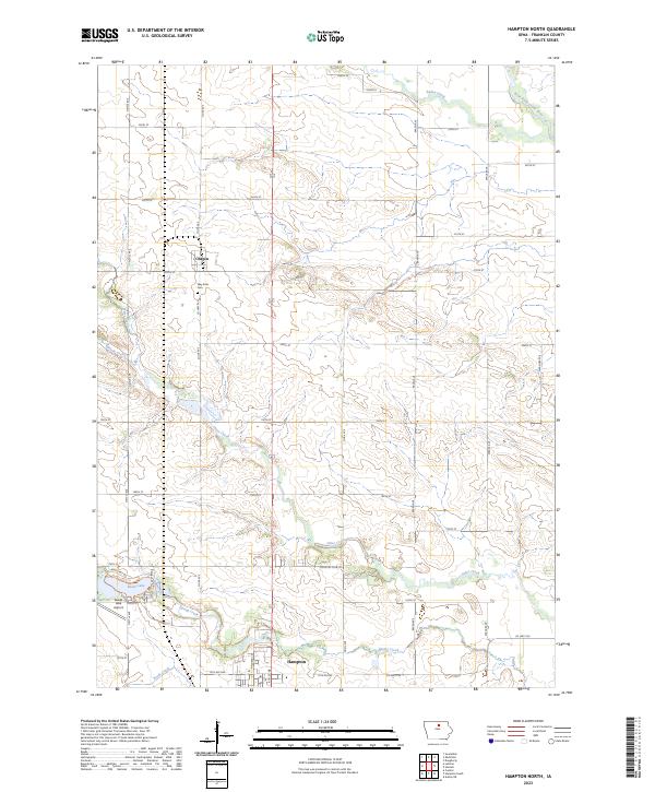 2023 Hampton North2023 Print · USGSFranklin County farmland and the community of Chapin are captured in this recent survey. You can trace the rural landscape from the banks of Beeds Lake to local landmarks like the Way Side Cem and the small Lake Airport.
End of results
Showing maps 1-15 of 15
Top cities near Hampton
- Iowa Falls historical maps
- Ackley historical maps
- Sheffield historical maps
- Alden historical maps
- Dumont historical maps
- Latimer historical maps
See more
Frequently asked questions
- What are the different types of historical maps available for Hampton?
- What is the oldest map of Hampton?
- Where can I purchase historical maps of Hampton for my home or office?
- Where can I download high-res historical maps of Hampton?
- Are there historical topographic maps available for Hampton?
- Is there historical aerial imagery available for Hampton?
- Where are historical maps of Hampton sourced from?