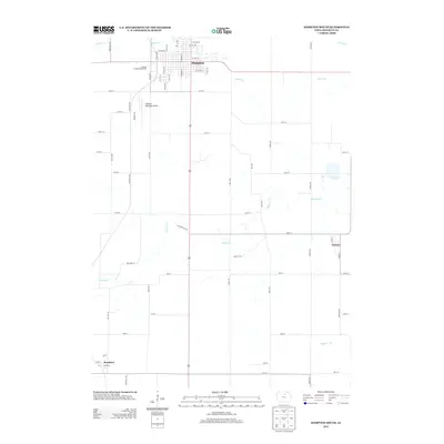
2013 Map of Hampton South
USGS Topo · Published 2013About this map
Hampton serves as the primary anchor for this 2013 Franklin County landscape, where the structured grid of the city transitions into a network of agricultural roads and winding waterways. The Franklin County Fairgrounds and Hampton Municipal Airport mark the southern and western reaches of the town, illustrating the community's civic and transportation infrastructure. This area is defined by its drainage patterns, with Squaw Cr and Maynes Cr meandering eastward through the Iowa farmland toward smaller settlements like Geneva and the edge of Bradford. The map captures a moment in the early 21st century when the rural character of the region remains remarkably consistent, tied together by long-standing routes such as S Federal St and the intersecting paths of 140th St and Olive Ave.
Find a feature on this map
51 named features on this map. Tap any name to fly to it.
Don’t see what you’re looking for? This feature index may not catch every label — zoom into the map to look around manually.
Map Details
Editions of this 2013 Hampton South Map
This is the sole edition of this map. No revisions or reprints were ever made.
Other maps of this area

1954 · Waterloo
USGS Topo · 1:250,000

1955 · Waterloo
USGS Topo · 1:250,000

1972 · Hansell
USGS Topo · 1:24,000

1972 · Latimer
USGS Topo · 1:24,000

1972 · Hampton North
USGS Topo · 1:24,000

1979 · Ackley NE
USGS Topo · 1:24,000

1979 · Coulter
USGS Topo · 1:24,000

1979 · Iowa Falls West
USGS Topo · 1:24,000

1979 · Ackley
USGS Topo · 1:24,000

1979 · Iowa Falls East
USGS Topo · 1:24,000