Old Maps of Farragut, Iowa for Genealogy
Trace your family roots with 13 historic maps of Farragut. These high-res maps reveal old neighborhoods, homesites, landmarks, and streets — helping you uncover where your ancestors lived and how the area evolved over time.
- Explore historic neighborhoods: Identify where your relatives may have lived in the 1800s or 1900s.
- Compare maps over time: Trace the changes in streets, buildings, and landmarks for multi-generational research.
- Perfect for genealogy & ancestry research: Used by family historians and researchers to map out lineage and migration.
These maps are an incredible resource for exploring your personal connection to Farragut's past.
Farragut, IA maps
(13)- 1939 Map of Farragut
 1939 Farragut1939 Print · USGSThe Iowa-Missouri borderlands come into focus in the late 1930s, showing a landscape of river-valley farms and rural schoolhouses. Genealogists can trace family roots through sites like Walden Grove Cem, Yale Sch, and the community at Westboro.
 - 1940 Map of Farragut
 1940 Farragut1940 Print · USGSThe Iowa-Missouri state line serves as the anchor for this 1939 survey of Atchison, Fremont, and Page counties. Genealogists and local historians can trace the positions of vanished schoolhouses like Yale Sch and Emporia Sch, or locate family sites near Farmers City and Westboro.
 - 1955 Map of Nebraska City, 1967 Print
 1955 Nebraska City1967 Print · USGSThe four-state region surrounding the Missouri River valley appears here in the mid-1950s, a landscape of rail-dependent market towns and rural school districts. Genealogists can locate family landmarks like the Rock Bluff School, St Oswald Church, and the Clarinda State Hospital.3 unique versions available
 - 1957 Map of Nebraska City
 1957 Nebraska City1957 Print · USGSThe four-state junction of Nebraska, Iowa, Missouri, and Kansas comes alive in this mid-fifties survey of the Missouri River valley. Genealogists and historians can trace the rail-and-road networks connecting Nebraska City, Maryville, and the Squaw Creek National Wildlife Refuge.
 - 1958 Map of Nebraska City
 1958 Nebraska City1958 Print · USGSThe Missouri River Valley and its fertile four-state borderlands are captured here during the mid-century expansion of the regional highway and rail networks. Genealogists can trace family roots through numerous rural landmarks like Moulton School, Shady Grove Church, and the Clarinda State Hospital.
 - 1981 Map of Farragut
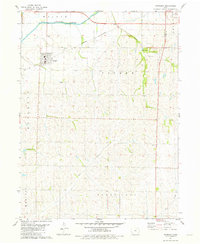 1981 Farragut1981 Print · USGSSouthwest Iowa in the late seventies is centered on the agricultural town of Farragut and the East Nishnabotna River. Genealogists can locate family landmarks like Farragut Cemetery, Manti Cemetery, and the Summit Church.
 - 1985 Map of Nebraska City
 1985 Nebraska City1985 Print · USGSThe Missouri River borderlands of Nebraska, Iowa, and Missouri come into focus in the mid-1980s, showcasing a landscape of river navigation and rail-fed agriculture. Researchers can trace the heritage of Nebraska City, follow the Burlington Northern tracks, or explore river landmarks like Jones Point and McKissick Island.
 - 1993 Map of Nebraska City
 1993 Nebraska City1993 Print · USGSThe Missouri River valley and the rolling farmland of southwest Iowa are captured here in the early nineties, showing a landscape defined by water and rail. Researchers can trace the Burlington Northern lines or explore local landmarks like Arbor Lodge State Park and College Springs.
 - 2010 Map of Farragut, 2010 Print
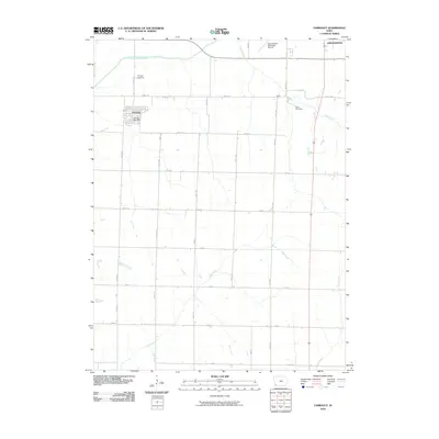 2010 Farragut2010 Print · USGSFremont and Page Counties are shown in the early 21st century as a landscape defined by traditional farming and the East Nishnabotna River. Researchers can trace old family sites near Farragut Cemetery and the settlement of Manti, or locate the Farragut Post Office.
 - 2013 Map of Farragut, 2013 Print
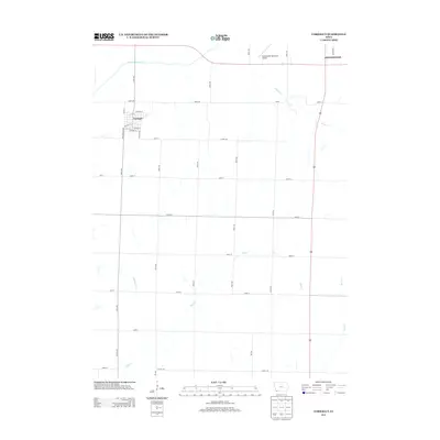 2013 Farragut2013 Print · USGSSouthwestern Iowa at the turn of the decade reveals a landscape of structured agriculture and small-town centers. Genealogists and local historians can trace the street grids of Farragut and Shenandoah or locate the settlement of Manti along Fisher Cr.
 - 2015 Map of Farragut, 2015 Print
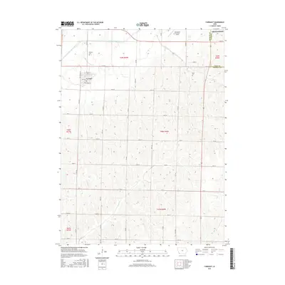 2015 Farragut2015 Print · USGSThis Southwest Iowa landscape at the Fremont and Page county line shows the area's agricultural character and town development. Genealogists and local historians can locate early burial sites at Farragut Cem and Manti Cem or trace the path of the East Nishnabotna River.
 - 2018 Map of Farragut, 2018 Print
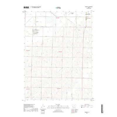 2018 Farragut2018 Print · USGSFremont and Page counties are shown in late 2018, centered on the rural landscapes and drainages of the East Nishnabotna River. Researchers can trace the town grid of Farragut, identify family connections at Manti Cem, and locate the Shenandoah Municipal Airport.
 - 2022 Map of Farragut, 2022 Print
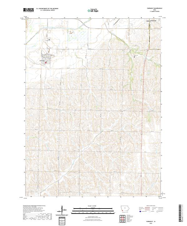 2022 Farragut2022 Print · USGSFremont County agricultural lands and the town of Farragut are documented here in the early twenty-first century. Family historians can locate the Farragut Cem and Manti Cem or trace the winding course of the East Nishnabotna River.
End of results
Showing maps 1-13 of 13
Top cities near Farragut
- Shenandoah historical maps
- Sidney historical maps
- Tabor historical maps
- Hamburg historical maps
- Essex historical maps
- Riverton historical maps
See more
Frequently asked questions
- What are the different types of historical maps available for Farragut?
- What is the oldest map of Farragut?
- Where can I purchase historical maps of Farragut for my home or office?
- Where can I download high-res historical maps of Farragut?
- Are there historical topographic maps available for Farragut?
- Is there historical aerial imagery available for Farragut?
- Where are historical maps of Farragut sourced from?