Old Maps of Ida County, Iowa for Academic Research
Study the evolution of Ida County with 95 high-resolution historic maps. Whether you're teaching, researching, or modeling changes in land use, these maps provide essential visual documentation of urban, environmental, and geographic change.
- Analyze long-term change: Track patterns in development, transportation, and natural features.
- Ideal for environmental or urban studies: Support academic projects with primary historical map data.
- Use in the classroom or lab: Educators and researchers rely on these maps to bring historical context to life.
These maps are a powerful tool for teaching, research, and visualizing how Ida County has changed over the decades.
Ida County, IA maps
(95)- 1954 Map of Fort Dodge, 1968 Print
 1954 Fort Dodge1968 Print · USGSNorthwest Iowa is shown here during a period of steady industrial and rail activity in the mid-fifties. Researchers can trace the extensive rail lines connecting Fort Dodge to mining and manufacturing sites like Gypsum and Industry Station.3 unique versions available
 - 1957 Map of Fort Dodge
 1957 Fort Dodge1957 Print · USGSWest-central Iowa thrived as a network of rail-linked agricultural hubs and river towns during the mid-fifties. Researchers can trace the development of the Des Moines River valley and locate historic landmarks in Fort Dodge, Storm Lake, and Lehigh.
 - 1958 Map of Fort Dodge
 1958 Fort Dodge1958 Print · USGSWestern Iowa in the mid-1950s reveals a productive landscape of river-valley industry and prairie agricultural hubs. Researchers can trace the development of the Des Moines River corridor through Fort Dodge and locate vanished local landmarks near Coalville or Storm Lake.
 - 1967 Map of Holstein, 1968 Print
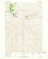
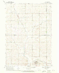
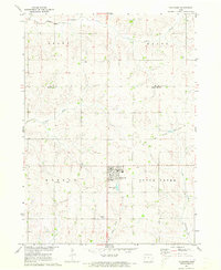
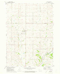
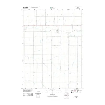
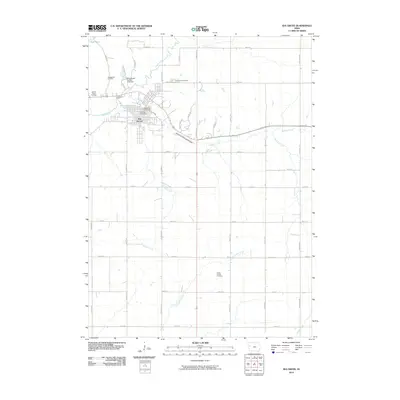
 1967 Holstein1968 Print · USGSIda County farming country and the town of Holstein are shown in detail during the late 1960s. Genealogists and local historians can trace the paths of the Chicago and North Western Railroad Grade and locate the Norwegian Cem or Battle Center Ch.
 - 1967 Map of Ida Grove, 1968 Print
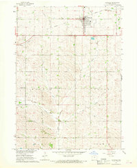
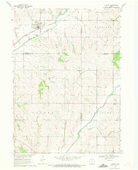
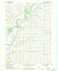
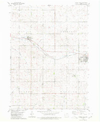
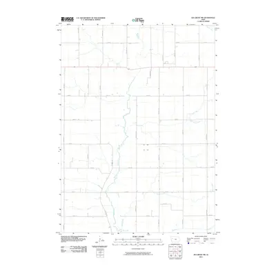
 1967 Ida Grove1968 Print · USGSIda Grove in the late 1960s is shown as a thriving river town at the junction of the Maple River and Odebolt Creek. Researchers can trace the town's industrial and social heart through the Chicago and North Western rail line, Moorehead Pioneer Park, and local sites like the Sacred Heart Cem.
 - 1967 Map of Battle Creek, 1968 Print
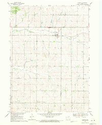
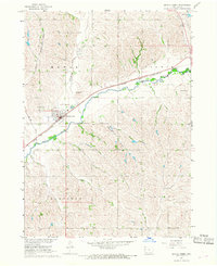 1967 Battle Creek1968 Print · USGSThe Maple River valley in the late 1960s shows a well-connected agricultural hub centered on the town of Battle Creek. Genealogists and local historians can trace family-named sites like Nicholson Field, the grounds of Mount Hope Cem, and the path of the Chicago and North Western railroad.2 unique versions available
 - 1967 Map of Ida Grove NW, 1968 Print
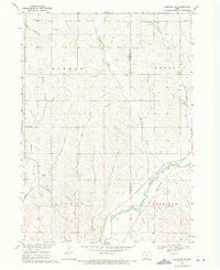
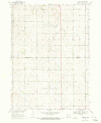
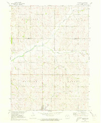
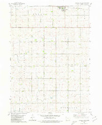
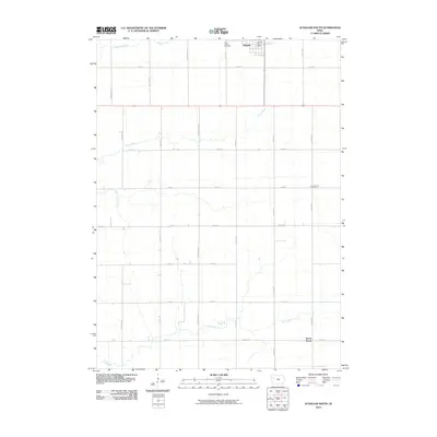
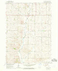 1967 Ida Grove NW1968 Print · USGSAgricultural life in rural Ida County during the late sixties is defined by its creek valleys and the Chicago and North Western rail line. Researchers can locate the Silver Creek Ch, the local Townhall, and mid-century property fence lines.
 - 1969 Map of Danbury, 1971 Print
 1969 Danbury1971 Print · USGSDanbury and the surrounding river valleys are captured here in the late sixties as the rail-and-river economy shaped Woodbury County. Researchers can locate several burial grounds including St Marys Cem and Hartleben Cem, or trace the Chicago and North Western line.2 unique versions available
 - 1969 Map of Holstein SW, 1971 Print
 1969 Holstein SW1971 Print · USGSWoodbury and Ida Counties are captured here in the late sixties, showing a landscape shaped by the Maple River and the rural townships. Genealogists can locate St Pauls Ch and St Marys Cem, or trace the Chicago and North Western rail line.2 unique versions available
 - 1969 Map of Galva, 1971 Print
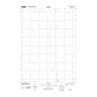
 1969 Galva1971 Print · USGSAgricultural life in Ida County centered on Galva during the late sixties, where the railroad and river valleys shaped the local landscape. Genealogists and researchers can locate family plots at Diamond Cem or trace the course of the Chicago and North Western line.
 - 1969 Map of Cushing, 1971 Print
 1969 Cushing1971 Print · USGSCushing and the surrounding Woodbury County townships are shown in the late 1960s as the regional rail economy shifted. Genealogists and local historians can trace family plots at Cushing Cem or follow the path of the Old Railroad Grade.
 - 1969 Map of Quimby SE, 1971 Print
 1969 Quimby SE1971 Print · USGSNorthwestern Iowa farmland at the end of the 1960s reveals a landscape of rural sections and expanding towns. Genealogists can trace family land across Griggs township and locate the Silver Cem and Holstein Cem near the town of Holstein.
 - 1969 Map of Washta, 1971 Print
 1969 Washta1971 Print · USGSThe Little Sioux River valley in northwestern Iowa is captured here in the late sixties, showing a landscape of river-bend parks and rail-connected towns. Researchers can trace family sites at Sunset View Cem, find the old Willow Sch, or follow the Illinois Central through Washta.
 - 1971 Map of Ricketts, 1973 Print
 1971 Ricketts1973 Print · USGSThe town of Ricketts and the surrounding Crawford County townships are captured here in the early 1970s. Trace the path of the Old Railroad Grade and locate local landmarks such as Immanuel Ch and the banks of the Soldier River.
 - 1971 Map of Schleswig, 1973 Print
 1971 Schleswig1973 Print · USGSSchleswig and the surrounding Crawford County townships are captured here in the early 1970s amidst a landscape of river valleys and rural homesteads. Researchers can locate family burial sites at Grant Cem and Morgan Cem or trace the path of the Old Railroad Grade.
 - 1971 Map of Kiron, 1973 Print
 1971 Kiron1973 Print · USGSCrawford County agriculture and rail history intersect here in the early seventies, centered on the village of Kiron. Genealogists and local historians can trace family roots at Kiron Cem or St Johns Ch and follow the path of the Old Railroad Grade.
 - 1980 Map of Odebolt West
 1980 Odebolt West1980 Print · USGSThe agricultural plains of Sac County are seen here in the early 1980s, centered on the railroad towns of Arthur and Odebolt. Researchers can trace the Chicago and North Western rail line and locate local landmarks like Hayes Cem and Arthur Ch.
 - 1980 Map of Schaller South
 1980 Schaller South1980 Print · USGSWestern Sac County was a thriving agricultural grid in the late 1970s, defined by its small towns and prairie creeks. Genealogists can trace family farms and local landmarks like Cook Center Cem, the Chicago and North Western rail line, and the town of Arthur.
 - 1985 Map of Storm Lake
 1985 Storm Lake1985 Print · USGSNorthwest Iowa's agricultural heartland is documented here in the mid-eighties, showing the vital rail-and-river network of the Little Sioux valley. Researchers can trace the legacy of regional hubs and smaller rail towns like Sutherland, Paullina, and Cherokee.3 unique versions available
 - 1985 Map of Ida Grove
 1985 Ida Grove1985 Print · USGSWestern Iowa's agricultural heartland is documented in the mid-1980s, showcasing a network of grain-hauling rail lines and river valley settlements. Genealogists and historians can trace family locations across Ida Grove and Denison or locate landmarks like Black Hawk Lake.2 unique versions available
 - 2010 Map of Schaller South, 2010 Print
 2010 Schaller South2010 Print · USGSCovers Ida County, including Schaller, Brook Mount, and other nearby areas
 - 2010 Map of Quimby SE, 2010 Print
 2010 Quimby SE2010 Print · USGSCovers Ida County, including Holstein, Cherokee County, and other nearby areas
 - 2010 Map of Cushing, 2010 Print
 2010 Cushing2010 Print · USGSCovers Ida County, including Cushing, Woodbury County, and other nearby areas
 - 2010 Map of Ida Grove NW, 2010 Print
 2010 Ida Grove NW2010 Print · USGSCovers Ida County, including Sac County, United States, and other nearby areas
 - 2010 Map of Ida Grove, 2010 Print
 2010 Ida Grove2010 Print · USGSCovers Ida County, including Ida Grove, United States, and other nearby areas
Showing maps 1-25 of 95
Top cities of Ida County
- Ida Grove historical maps
- Holstein historical maps
- Battle Creek historical maps
- Galva historical maps
- Arthur historical maps
Frequently asked questions
- What are the different types of historical maps available for Ida County?
- What is the oldest map of Ida County?
- Where can I purchase historical maps of Ida County for my home or office?
- Where can I download high-res historical maps of Ida County?
- Are there historical topographic maps available for Ida County?
- Is there historical aerial imagery available for Ida County?
- Where are historical maps of Ida County sourced from?