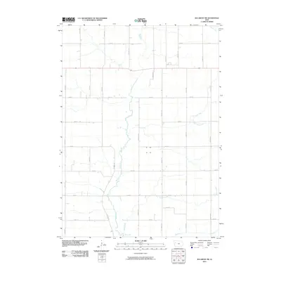
2010 Map of Ida Grove NW
USGS Topo · Published 2010About this map
The Maple River carves a meandering path through the heart of this Sac County agricultural landscape, providing the primary drainage for a network of prairie tributaries. Surveyed at the dawn of the 2010s, the terrain is defined by a rigorous section-line road grid, where long-established routes like Indian Ave and Landmark Ave frame the expansive fields. Small creeks, including Silver Creek, Buffalo Creek, and Halfway Creek, slice through the grid, creating the only significant breaks in the geometric pattern of the farmland. This map documents a quintessential Iowa agricultural district, preserving the specific placement of farmsteads and rural infrastructure as they appeared before recent decades of consolidation. The relationship between the natural hydrology of Elk Creek and the man-made precision of thoroughfares like Orchard Ave illustrates the region’s long-standing commitment to organized land use and water management.
Find a feature on this map
24 named features on this map. Tap any name to fly to it.
Don’t see what you’re looking for? This feature index may not catch every label — zoom into the map to look around manually.
Map Details
Editions of this 2010 Ida Grove NW Map
This is the sole edition of this map. No revisions or reprints were ever made.
Other maps of this area

1954 · Fort Dodge
USGS Topo · 1:250,000

1957 · Fort Dodge
USGS Topo · 1:250,000

1958 · Fort Dodge
USGS Topo · 1:250,000

1967 · Holstein
USGS Topo · 1:24,000

1967 · Ida Grove
USGS Topo · 1:24,000

1967 · Battle Creek
USGS Topo · 1:24,000

1967 · Ida Grove NW
USGS Topo · 1:24,000

1969 · Galva
USGS Topo · 1:24,000

1969 · Quimby SE
USGS Topo · 1:24,000

1979 · Schaller North
USGS Topo · 1:24,000