Old Maps of Poweshiek Township, Iowa for Hiking & Exploration
Hike through history with 30 historic maps of Poweshiek Township. Explore old trails, ghost towns, and forgotten backroads — perfect for outdoor adventurers and local explorers.
- Rediscover forgotten places: Map out old mining camps, roads, and footpaths that no longer exist on modern maps.
- Layer with modern tools: Combine with LiDAR or satellite views to plan hikes through historical terrain.
- Made for exploration: Popular among hikers, overlanders, and local history lovers.
Use these maps to find adventure and explore the hidden past of Poweshiek Township.
Poweshiek Township, IA maps
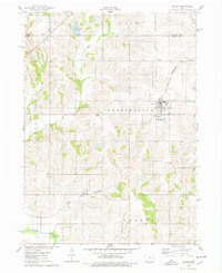
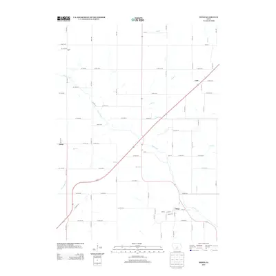
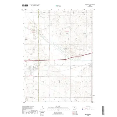
(30)- 1930 Map of Mitchellville
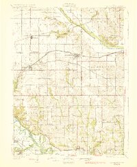 1930 Mitchellville1930 Print · USGSCentral Iowa's fertile prairie and river valleys come alive in this late 1920s survey of the settlements between the Skunk and Des Moines rivers. Researchers can locate dozens of country schools like Nebo Sch and Peacock Sch or trace family roots near Camp Center Ch.3 unique versions available
 - 1954 Map of Des Moines, 1973 Print
 1954 Des Moines1973 Print · USGSCentral Iowa's evolving landscape is captured here in the early seventies, just as major reservoirs were reshaping the river valleys. Genealogists and historians can trace the rail corridors of the Burlington Northern or locate family roots near Pella, Indianola, and Knoxville.2 unique versions available
 - 1956 Map of Des Moines
 1956 Des Moines1956 Print · USGSCentral Iowa in the mid-fifties shows a landscape defined by bustling rail hubs and deep-rooted agricultural research. Genealogists and researchers can trace the growth of Des Moines and Ames, locate the Sac and Fox Indian Reservation, or study the paths of the Skunk River and South Skunk River.
 - 1957 Map of Des Moines
 1957 Des Moines1957 Print · USGSCentral Iowa's post-war landscape is defined here by the converging rail lines and river valleys that shaped its earliest settlements. Genealogists and historians can trace the paths of the Rock Island Railroad and locate community landmarks in Des Moines, Ames, and Newton.
 - 1965 Map of Colfax, 1966 Print
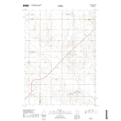
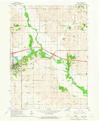 1965 Colfax1966 Print · USGSJasper County in the mid-sixties reveals a landscape shaped by the South Skunk River and the expanding highway network. Researchers can trace family roots at Slaughter Cem or explore the rail-side settlement of Metz and the streets of Colfax.
 - 1969 Map of Des Moines
 1969 Des Moines1969 Print · USGSCentral Iowa's fertile plains and growing capital are captured here during the late sixties, a time of major highway expansion and reservoir construction. Genealogists and researchers can trace rural township boundaries, local cemeteries, and rail lines serving towns like Pella, Grinnell, and Oskaloosa.
 - 1972 Map of Mitchellville, 1974 Print
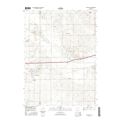
 1972 Mitchellville1974 Print · USGSAcross the Polk and Jasper County line in the early 1970s, this area shows a landscape defined by rail corridors and the meandering South Skunk River. Genealogists can locate family landmarks like Sams Cem and Fisher Cem or trace the small-town footprints of Valeria and Mitchellville.
 - 1975 Map of Mingo, 1978 Print
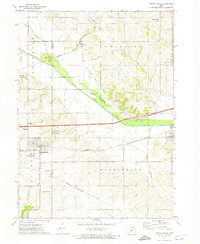
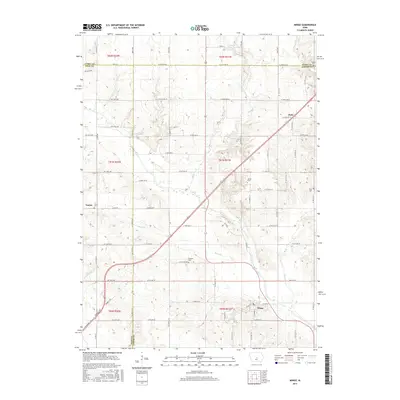
 1975 Mingo1978 Print · USGSMid-Iowa's agricultural landscape comes into focus during the 1970s at the junction of Story, Jasper, and Polk counties. Researchers can trace rural genealogy and transport through Mingo, the Old RR Grade at Farrar, and local landmarks like Ashton Ch and Deeter Cem.
 - 1975 Map of Baxter, 1978 Print
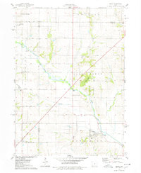
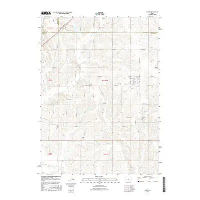
 1975 Baxter1978 Print · USGSThe town of Baxter and its surrounding townships are shown here during the mid-1970s, capturing the organized grid of Iowa's agricultural heartland. Genealogists and local historians can locate several rural burial grounds, including Restland Cem and Independence Cem, alongside the CHICAGO AND NORTH WESTERN rail line.
 - 1984 Map of Des Moines, 1985 Print
 1984 Des Moines1985 Print · USGSCentral Iowa's heartland is captured in the mid-1980s as suburban growth met long-standing farm and rail infrastructure. Genealogists and researchers can trace the reaches of the Chicago and North Western through Maxwell or locate Laurel Hill Cem and Camp Dodge Military Reservation.2 unique versions available
 - 2010 Map of Mitchellville, 2010 Print
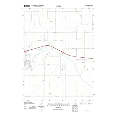
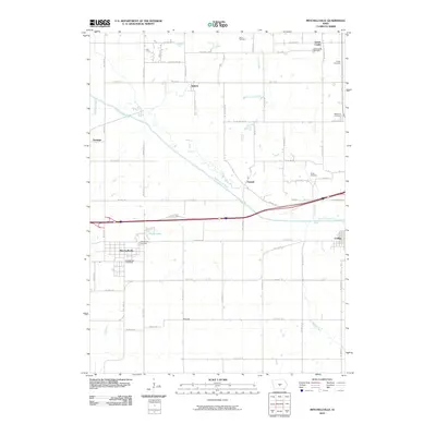 2010 Mitchellville2010 Print · USGSCovers Poweshiek Township, including Mitchellville, Colfax, and other nearby areas
 - 2010 Map of Baxter, 2010 Print
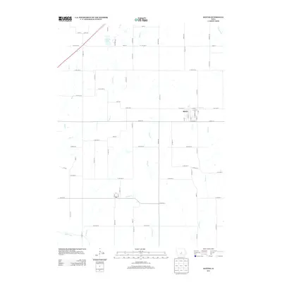
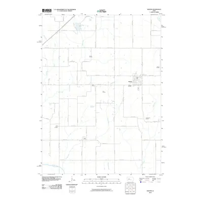 2010 Baxter2010 Print · USGSCovers Poweshiek Township, including Baxter, Independence Township, and other nearby areas
 - 2010 Map of Mingo, 2010 Print
 2010 Mingo2010 Print · USGSCovers Poweshiek Township, including Mingo, Collins Township, and other nearby areas
 - 2010 Map of Colfax, 2010 Print
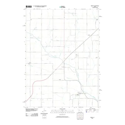
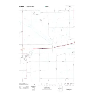
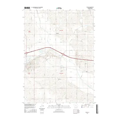
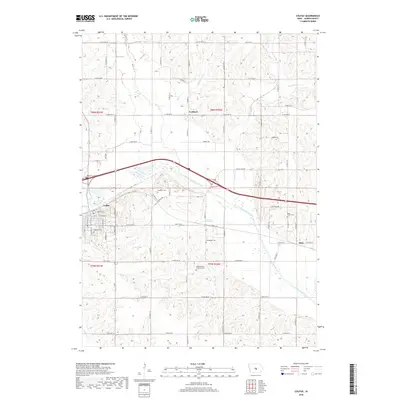
 2010 Colfax2010 Print · USGSCovers Poweshiek Township, including Colfax, Metz, and other nearby areas
 - 2013 Map of Mitchellville, 2013 Print
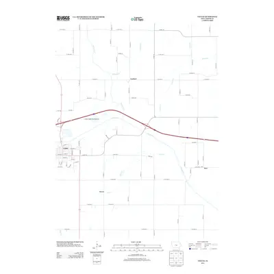
 2013 Mitchellville2013 Print · USGSCovers Poweshiek Township, including Mitchellville, Colfax, and other nearby areas
 - 2013 Map of Baxter, 2013 Print
 2013 Baxter2013 Print · USGSCovers Poweshiek Township, including Baxter, Independence Township, and other nearby areas
 - 2013 Map of Colfax, 2013 Print
 2013 Colfax2013 Print · USGSCovers Poweshiek Township, including Colfax, Metz, and other nearby areas
 - 2013 Map of Mingo, 2013 Print
 2013 Mingo2013 Print · USGSCovers Poweshiek Township, including Mingo, Collins Township, and other nearby areas
 - 2015 Map of Mitchellville, 2015 Print
 2015 Mitchellville2015 Print · USGSCovers Poweshiek Township, including Mitchellville, Colfax, and other nearby areas
 - 2015 Map of Baxter, 2015 Print
 2015 Baxter2015 Print · USGSCovers Poweshiek Township, including Baxter, Independence Township, and other nearby areas
 - 2015 Map of Mingo, 2015 Print
 2015 Mingo2015 Print · USGSCovers Poweshiek Township, including Mingo, Collins Township, and other nearby areas
 - 2015 Map of Colfax, 2015 Print
 2015 Colfax2015 Print · USGSCovers Poweshiek Township, including Colfax, Metz, and other nearby areas
 - 2018 Map of Mingo, 2018 Print
 2018 Mingo2018 Print · USGSCovers Poweshiek Township, including Mingo, Collins Township, and other nearby areas
 - 2018 Map of Mitchellville, 2018 Print
 2018 Mitchellville2018 Print · USGSCovers Poweshiek Township, including Mitchellville, Colfax, and other nearby areas
 - 2018 Map of Colfax, 2018 Print
 2018 Colfax2018 Print · USGSCovers Poweshiek Township, including Colfax, Metz, and other nearby areas
Showing maps 1-25 of 30
Top cities near Poweshiek Township
- Des Moines historical maps
- Altoona historical maps
- Newton historical maps
- Pleasant Hill historical maps
- Bondurant historical maps
- Carlisle historical maps
See more
Top neighborhoods of Poweshiek Township
Frequently asked questions
- What are the different types of historical maps available for Poweshiek Township?
- What is the oldest map of Poweshiek Township?
- Where can I purchase historical maps of Poweshiek Township for my home or office?
- Where can I download high-res historical maps of Poweshiek Township?
- Are there historical topographic maps available for Poweshiek Township?
- Is there historical aerial imagery available for Poweshiek Township?
- Where are historical maps of Poweshiek Township sourced from?