
1975 Map of Mingo
USGS Topo · Published 1978About this map
Mingo and Farrar anchor this mid-1970s landscape where the borders of Story, Polk, and Jasper counties converge. The region is defined by a dense grid of rural routes including Ne 166th Ave and Hubbel Ave, which navigate the drainage basins of Indian Creek and Wolf Creek. A notable vestige of earlier transport is the Old RR Grade passing through Farrar, contrasting with the active Chicago and North Western rail line serving Mingo. Local history is preserved in small communal hubs like Ashton Ch and Peoria Ch, alongside family-named landmarks such as Deeter Cem and Kintz Cem. The presence of the Ashton-Wildwood County Park and the Gaging Station on the creek reflect the intersection of public conservation and water management in this agricultural heartland during the late twentieth century.
Find a feature on this map
37 named features on this map. Tap any name to fly to it.
Don’t see what you’re looking for? This feature index may not catch every label — zoom into the map to look around manually.
Map Details
Editions of this 1975 Mingo Map
This is the sole edition of this map. No revisions or reprints were ever made.
Other maps of this area

1930 · Mitchellville
USGS Topo · 1:62,500

1954 · Des Moines
USGS Topo · 1:250,000

1956 · Des Moines
USGS Topo · 1:250,000

1957 · Des Moines
USGS Topo · 1:250,000

1965 · Colfax
USGS Topo · 1:24,000

1969 · Des Moines
USGS Topo · 1:250,000
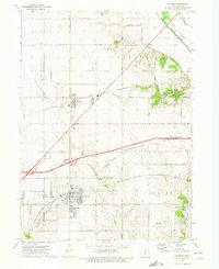
1972 · Altoona
USGS Topo · 1:24,000
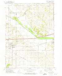
1972 · Mitchellville
USGS Topo · 1:24,000
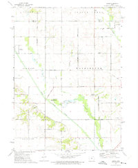
1972 · Loring
USGS Topo · 1:24,000

1975 · Rhodes
USGS Topo · 1:24,000